
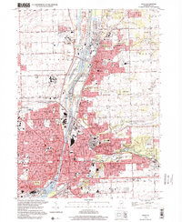
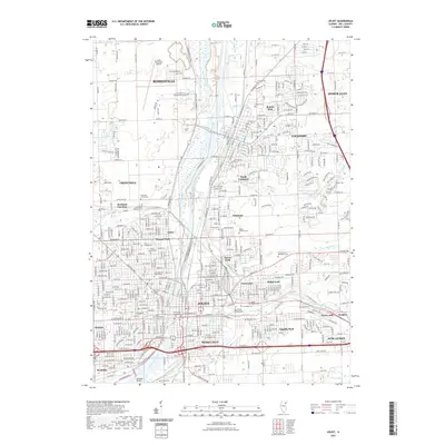
1923 Map of Joliet
USGS Topo · Published 1923About this map
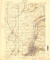
Joliet and its industrial surroundings are defined by a complex network of waterways and railroads during this era of heavy manufacturing and transit. The Des Plaines River corridor serves as a massive artery for trade, paralleled by the historic Illinois and Michigan Canal and the modern Chicago Sanitary and Ship Canal. This industrial density contrasts with the rural character of northern Wheatland and Du Page, where family-named schools like Royce School and Lantz School dot the landscape. A unique institutional landmark, the State Penitentiary Farm, sits just north of the city limits near the Lockport boundary. The map also captures the early automotive era through the Lincoln Highway, which passes through Plainfield and Caton Farm, intersecting with numerous rail lines such as the Elgin Joliet and Eastern Ry.
Find a feature on this map
97 named features on this map. Tap any name to fly to it.
Don’t see what you’re looking for? This feature index may not catch every label — zoom into the map to look around manually.
Map Details
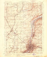
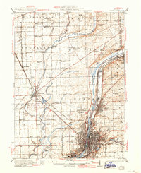
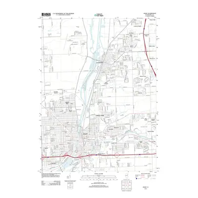
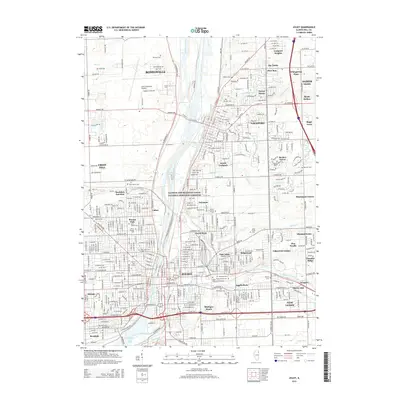
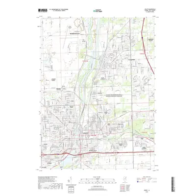
Editions of this 1923 Joliet Map
5 editions found
Historical Maps of Aurora Through Time
12 maps found
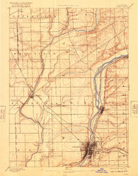
1892 Joliet
Will County, IL
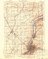
1923 Joliet
Will County, IL
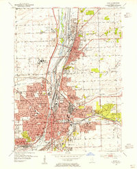
1954 Joliet
Will County, IL

1954 Joliet
Will County, IL
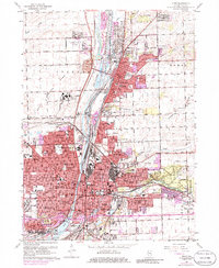
1962 Joliet
Will County, IL
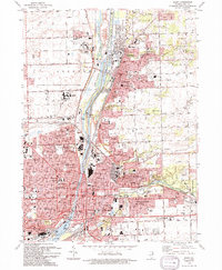
1993 Joliet
Will County, IL
1998 Joliet
Will County, IL
2012 Joliet
Will County, IL
2015 Joliet
Will County, IL
2018 Joliet
Will County, IL
2021 Joliet
Will County, IL
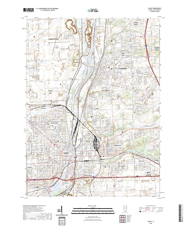
2024 Joliet
Will County, IL