
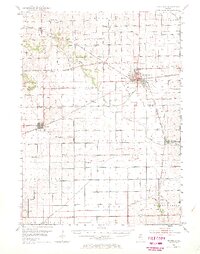
1952 Map of Rochelle
USGS Topo · Published 1954About this map
Rochelle stands at the heart of this mid-century agricultural landscape, serving as a primary junction for the Chicago and North Western, Chicago Milwaukee St Paul and Pacific, and Chicago Burlington and Quincy railroads. The town's industrial infrastructure is marked by its sewage disposal plant and septic basins along the Kyte River, while a landing field south of town indicates the early post-war expansion of civil aviation.
Find a feature on this map
53 named features on this map. Tap any name to fly to it.
Don’t see what you’re looking for? This feature index may not catch every label — zoom into the map to look around manually.
Map Details
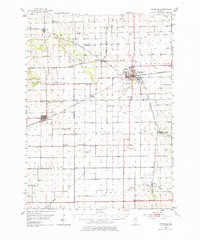
Editions of this 1952 Rochelle Map
3 editions found
Other maps of this area

1917 · Kings
USGS Topo · 1:62,500

1918 · Dixon
USGS Topo · 1:62,500

1918 · Kings
USGS Topo · 1:62,500

1918 · Kirkland
USGS Topo · 1:62,500

1922 · Oregon
USGS Topo · 1:62,500

1924 · Oregon
USGS Topo · 1:62,500

1934 · De Kalb
USGS Topo · 1:62,500

1937 · De Kalb
USGS Topo · 1:62,500

1950 · Dixon
USGS Topo · 1:62,500

1951 · Amboy
USGS Topo · 1:62,500