
1924 Map of Oregon
USGS Topo · Published 1924About this map
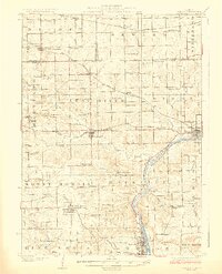
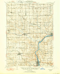
Rock River winds through the heart of Ogle County, anchoring a landscape defined by its early 20th-century agriculture and rail connectivity. The map captures a high density of rural schoolhouses and country churches that once served isolated farming communities, including the Stonebraker School, Wessels School, and the Ebenezer Church. Three major rail lines crisscross the terrain, with the Chicago Great Western and Chicago Milwaukee and St Paul providing vital links for towns like Byron and Leaf River. The settlement of German Valley PO and station serves as a notable landmark in the north, reflecting the regional heritage. From the elevations at Cedar Bluff to the creek valleys of Silver Creek and Coon Creek, the topography reveals the intricate drainage patterns that supported the development of the Rockvale and Marion townships during this era.
Find a feature on this map
85 named features on this map. Tap any name to fly to it.
Don’t see what you’re looking for? This feature index may not catch every label — zoom into the map to look around manually.
Map Details
Editions of this 1924 Oregon Map
3 editions found
Other maps of this area

1917 · Kings
USGS Topo · 1:62,500

1918 · Rockford
USGS Topo · 1:62,500

1918 · Dixon
USGS Topo · 1:62,500

1918 · Kings
USGS Topo · 1:62,500

1922 · Oregon
USGS Topo · 1:62,500

1930 · Woodsung
USGS Topo · 1:48,000

1932 · Pecatonica
USGS Topo · 1:62,500

1936 · Pecatonica
USGS Topo · 1:62,500

1938 · Rockford
USGS Topo · 1:62,500

1939 · Freeport
USGS Topo · 1:48,000