
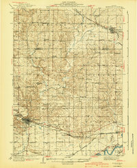
1930 Map of Woodsung
USGS Topo · Published 1930About this map
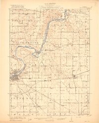
Elkhorn Creek and Jordan Creek carve through the agricultural heartland of northern Illinois in this 1930 survey, which focuses on the rural townships of Jordan, Palmyra, and Nelson. The early twentieth-century transportation landscape is dominated by the Chicago Northwestern railroad and the iconic Lincoln Highway, reflecting a pivotal era of transition from rail to automotive travel. Small rural centers like Penrose, Jorden Center, and Woosung serve as anchors for a landscape dotted with country schools including Compton Sch and Fairview Sch. Along the Rock River, the northern edge of Sterling appears just as the industrial and logistical patterns of the county were solidifying. The map records several community cornerstones, from the Prairieville Cem to the West Science Ridge Ch, providing a detailed view of local life before mid-century modernization reshaped these farming districts.
Find a feature on this map
36 named features on this map. Tap any name to fly to it.
Don’t see what you’re looking for? This feature index may not catch every label — zoom into the map to look around manually.
Map Details
Editions of this 1930 Woodsung Map
This is the sole edition of this map. No revisions or reprints were ever made.
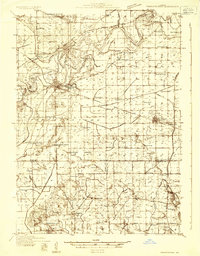
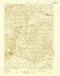
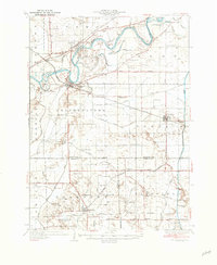
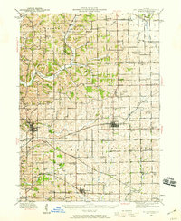
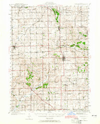
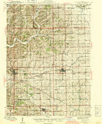
Other maps of this area
1918 · Dixon
USGS Topo · 1:62,500

1922 · Oregon
USGS Topo · 1:62,500

1924 · Oregon
USGS Topo · 1:62,500
1932 · Prophetstown
USGS Topo · 1:48,000
1934 · Morrison
USGS Topo · 1:48,000
1936 · Prophetstown
USGS Topo · 1:62,500
1940 · Morrison
USGS Topo · 1:62,500
1942 · Mt Carroll
USGS Topo · 1:62,500
1942 · Forreston
USGS Topo · 1:62,500
1944 · Mt Carroll
USGS Topo · 1:62,500