
1936 Map of Prophetstown
USGS Topo · Published 1936About this map
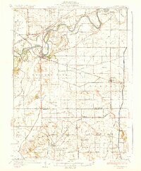
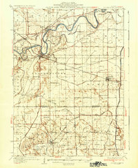
The Rock River dominates the northern landscape of this Whiteside County region, carving a winding path past Indian Island and Millwoods Island. The settlement of Prophetstown sits at a critical bend in the river, serving as a hub for the Chicago Burlington and Quincy RR. To the south, the terrain transitions into an intricate network of drainage ditches and sloughs, such as Wildcat Slough and Big Slough, illustrating the intensive effort to manage the prairie wetlands for agriculture.
Find a feature on this map
76 named features on this map. Tap any name to fly to it.
Don’t see what you’re looking for? This feature index may not catch every label — zoom into the map to look around manually.
Map Details
Editions of this 1936 Prophetstown Map
3 editions found
Other maps of this area

1891 · Clinton
USGS Topo · 1:62,500

1894 · Clinton
USGS Topo · 1:62,500

1899 · Clinton
USGS Topo · 1:125,000

1921 · Buda
USGS Topo · 1:62,500

1923 · Buda
USGS Topo · 1:62,500

1929 · Annawan
USGS Topo · 1:62,500

1930 · Woodsung
USGS Topo · 1:48,000

1932 · Prophetstown
USGS Topo · 1:48,000

1932 · Annawan
USGS Topo · 1:62,500

1934 · Geneseo
USGS Topo · 1:62,500