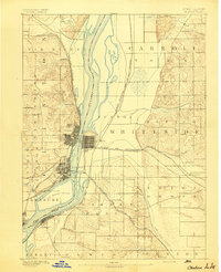
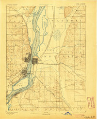
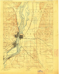
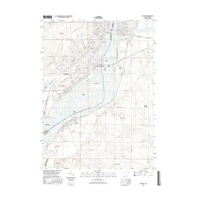
1894 Map of Clinton
USGS Topo · Published 1894About this map
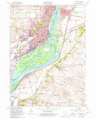
The Mississippi River serves as the central artery for this late 19th-century study, defining the state boundary between Iowa and Illinois. The riverfront is dominated by the industrial and transport hubs of Clinton and Lyons, which at this time remained distinct incorporated areas before their eventual merger. The landscape is heavily influenced by the expansion of western transit, with the Chicago and Northwestern RR and the Chicago Milwaukee and St. Paul Railroad converging on the riverbanks to manage the flow of goods and people across the water.
Find a feature on this map
40 named features on this map. Tap any name to fly to it.
Don’t see what you’re looking for? This feature index may not catch every label — zoom into the map to look around manually.
Map Details
Editions of this 1894 Clinton Map
3 editions found
Historical Maps of Clinton Through Time
10 maps found

1891 Clinton
Clinton County, IA
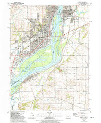
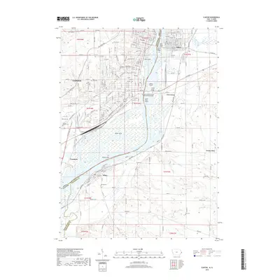
1894 Clinton
Clinton County, IA
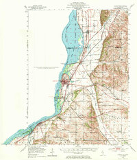
1952 Clinton
Clinton County, IA
1953 Clinton
Clinton County, IA
1991 Clinton
Clinton County, IA
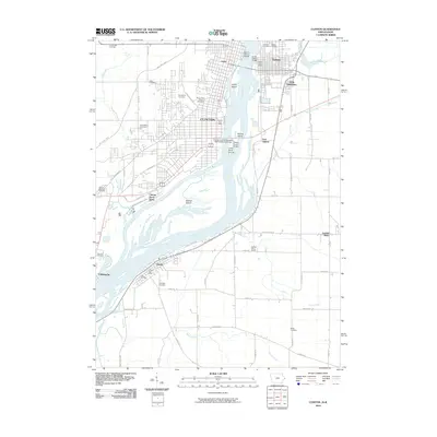
2010 Clinton
Clinton County, IA
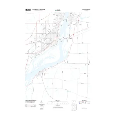
2013 Clinton
Clinton County, IA
2015 Clinton
Clinton County, IA
2018 Clinton
Clinton County, IA
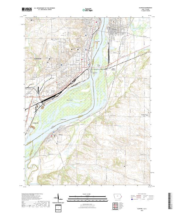
2022 Clinton
Clinton County, IA