
1892 Map of Savanna
USGS Topo · Published 1892About this map
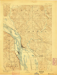
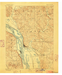
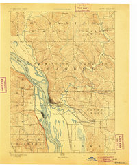
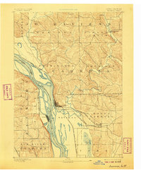
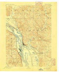
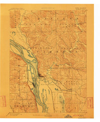
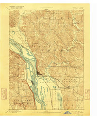
The Mississippi River dominates this 1890s landscape, serving as the border between Illinois and Iowa where the river narrows between Savanna and Sabula. This era shows a critical junction of river traffic and heavy rail infrastructure, as the Chicago Burlington and Northern Railroad follows the eastern shoreline while the Chicago Milwaukee and St. Paul Railroad crosses the water.
Find a feature on this map
28 named features on this map. Tap any name to fly to it.
Don’t see what you’re looking for? This feature index may not catch every label — zoom into the map to look around manually.
Map Details
Editions of this 1892 Savanna Map
8 editions found
Other maps of this area

1891 · Clinton
USGS Topo · 1:62,500

1892 · Goose Lake
USGS Topo · 1:62,500

1894 · Goose Lake
USGS Topo · 1:62,500

1894 · Clinton
USGS Topo · 1:62,500

1899 · Clinton
USGS Topo · 1:125,000

1911 · Elizabeth
USGS Topo · 1:62,500

1911 · Galena
USGS Topo · 1:62,500

1913 · Galena
USGS Topo · 1:62,500

1934 · Morrison
USGS Topo · 1:48,000

1935 · Miles
USGS Topo · 1:62,500