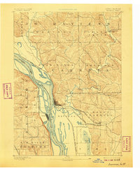
1892 Map of Savanna
USGS Topo · Published 1907About this map
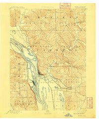
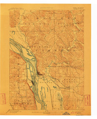
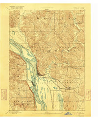
The Mississippi River creates a complex landscape of islands and sloughs at the border of Carroll County and Jackson County in this late-nineteenth-century survey. The riverfront towns of Savanna and Sabula serve as the primary hubs, linked by the Chicago Milwaukee and St. Paul Railroad which crosses the waterway here. The terrain is deeply dissected by drainage systems like Straddle Creek and the Plum River, which flows through the Woodland and Mount Carroll townships.
Find a feature on this map
29 named features on this map. Tap any name to fly to it.
Don’t see what you’re looking for? This feature index may not catch every label — zoom into the map to look around manually.
Map Details
Editions of this 1892 Savanna Map
8 editions found
Other maps of this area

1891 · Clinton
USGS Topo · 1:62,500

1892 · Goose Lake
USGS Topo · 1:62,500

1892 · Savanna
USGS Topo · 1:62,500

1894 · Goose Lake
USGS Topo · 1:62,500

1894 · Clinton
USGS Topo · 1:62,500

1899 · Clinton
USGS Topo · 1:125,000

1911 · Elizabeth
USGS Topo · 1:62,500

1911 · Galena
USGS Topo · 1:62,500

1913 · Galena
USGS Topo · 1:62,500

1934 · Morrison
USGS Topo · 1:48,000