Loading...
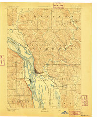
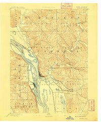
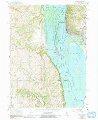
Loading map...1892 Map of Savanna
USGS Topo · Published 1905About this map
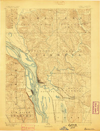
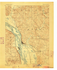
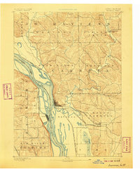
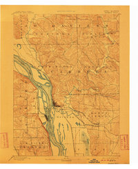
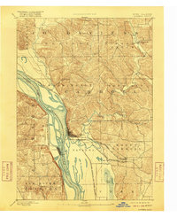
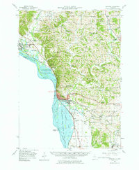
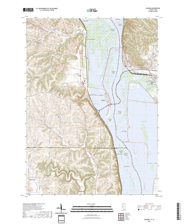
The Mississippi River corridor dominates this late 19th-century survey, revealing a landscape defined by the convergence of major midwestern rail lines and river trade. At the center of the sheet, Savanna sits at a critical junction where the Chicago Burlington and Northern Railroad and the Chicago Milwaukee and St. Paul Railroad meet the water. Across the Illinois Iowa Boundary Line, the town of Sabula occupies a narrow peninsula, illustrating the close relationship between these riverfront communities.
Find a feature on this map
29 named features on this map. Tap any name to fly to it.
Don’t see what you’re looking for? This feature index may not catch every label — zoom into the map to look around manually.
Map Details
Date Portrayed1892
Date Published1905
PublisherU.S. Geological Survey
Map TypeTopographic
Scale1:62,500
Physical Dimensions17.1 x 20.8 inches
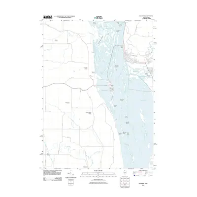
Editions of this 1892 Savanna Map
8 editions found

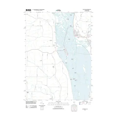
Historical Maps of Savanna Through Time
9 maps found
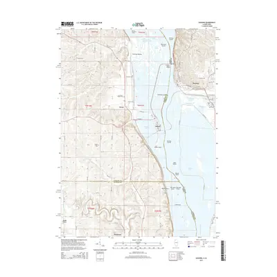
Featured Locations
Source Details
SourceU.S. Geological Survey
CopyrightPublic Domain