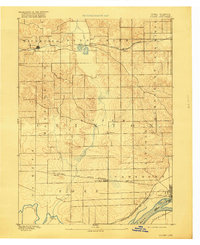
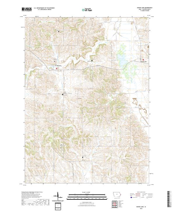
1892 Map of Goose Lake
USGS Topo · Published 1892About this map
The confluence of the Mississippi River and the Wapsipinicon River anchors the southeastern corner of this Iowa landscape, surveyed just before the turn of the century. The interior is defined by a series of agricultural townships, including Clinton, Waterford, and Deep Creek, where early prairie settlements began to coalesce around emerging transportation corridors. Two primary branches of the Chicago and North Western Railroad cut through the terrain, dictating the growth of towns like Charlotte, Bryant, and Low Moor.
Find a feature on this map
23 named features on this map. Tap any name to fly to it.
Don’t see what you’re looking for? This feature index may not catch every label — zoom into the map to look around manually.
Map Details
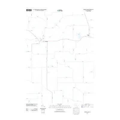
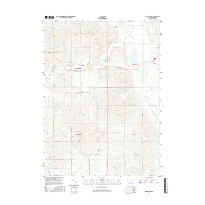
Editions of this 1892 Goose Lake Map
This is the sole edition of this map. No revisions or reprints were ever made.
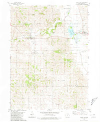
Historical Maps of Clinton Through Time
8 maps found