
1894 Map of Davenport
USGS Topo · Published 1894About this map
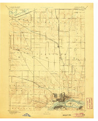
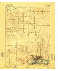
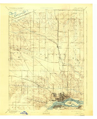
Davenport serves as the focal point of this late 19th-century landscape, situated along a prominent bend of the Mississippi River across from Rock Island. The map illustrates a thriving river-and-rail economy, where the Chicago Rock-Island and Pacific Railroad and the Chicago Milwaukee and St Paul Railroad intersect to drive regional commerce. In the rural reaches of Scott County, the terrain is defined by the drainage systems of Duck Creek and Crow Creek, which cut through the agricultural townships of Winfield and Sheridan. Smaller hubs such as Eldridge Junction and Green Tree Tavern mark the transition between the growing river city and the established farming communities. To the north, the Wapsipinicon River forms a natural boundary, while inland settlements like Donahue and Walnut Grove indicate the steady expansion of the prairie frontier into a structured network of towns and townships.
Find a feature on this map
35 named features on this map. Tap any name to fly to it.
Don’t see what you’re looking for? This feature index may not catch every label — zoom into the map to look around manually.
Map Details
Editions of this 1894 Davenport Map
4 editions found
Other maps of this area

1890 · Durant
USGS Topo · 1:62,500

1891 · DeWitt
USGS Topo · 1:62,500

1891 · Davenport
USGS Topo · 1:62,500

1892 · Wheatland
USGS Topo · 1:62,500

1892 · Goose Lake
USGS Topo · 1:62,500

1892 · Leclaire
USGS Topo · 1:62,500

1893 · Leclaire
USGS Topo · 1:62,500

1894 · Wheatland
USGS Topo · 1:62,500

1894 · Durant
USGS Topo · 1:62,500

1894 · Goose Lake
USGS Topo · 1:62,500