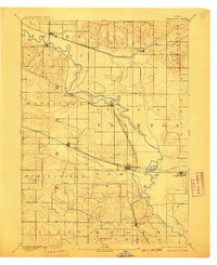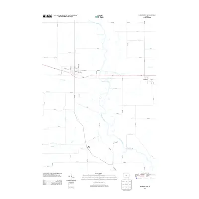
1892 Map of Wheatland
USGS Topo · Published 1892About this map
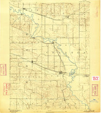
The Wapsipinicon River carves a winding path through this eastern Iowa landscape, serving as the dominant geographic feature for early settlements in Clinton and Jones counties. In the late nineteenth century, the region's development was dictated by the intersection of water power and steam power. Oxford Mills and Toronto sit directly on the riverbanks, while the expansion of the Chicago Milwaukee and St Paul Railroad and the Chicago and North Western Railroad created vital junctions at places like Oxford Junction and Wheatland.
Find a feature on this map
26 named features on this map. Tap any name to fly to it.
Don’t see what you’re looking for? This feature index may not catch every label — zoom into the map to look around manually.
Map Details
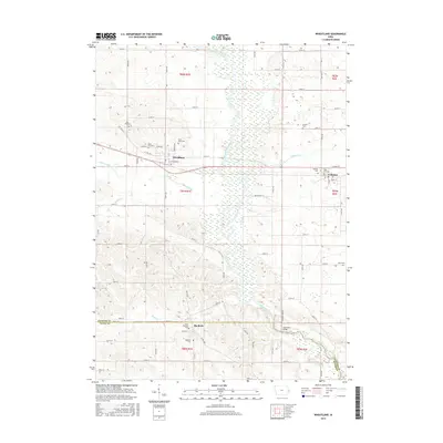
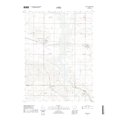
Editions of this 1892 Wheatland Map
This is the sole edition of this map. No revisions or reprints were ever made.
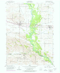
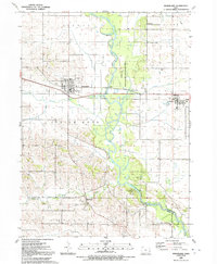
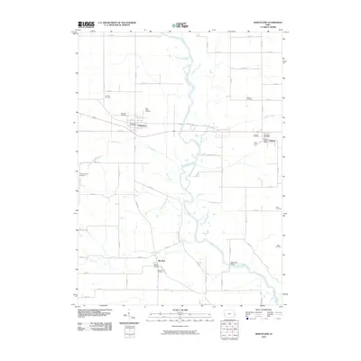
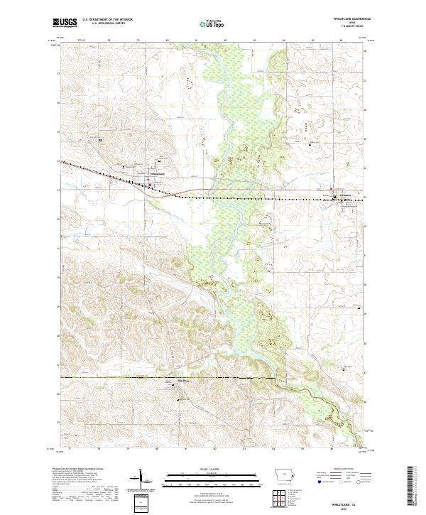
Historical Maps of Lowden Through Time
9 maps found