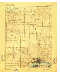
1894 Map of Davenport
USGS Topo · Published 1917About this map
The Mississippi River serves as the dominant geographic and economic anchor for this late 19th-century survey of Scott County. The city of Davenport is shown in its growing grid pattern along the riverbank, looking across to Rock Island and the Iowa Illinois Boundary Line. The landscape is a complex network of early railroads, including the Chicago Rock-Island and Pacific Railroad and the Chicago Milwaukee and St. Paul Railroad, which fueled the growth of interior agricultural settlements like Eldridge and Donahue.
Find a feature on this map
34 named features on this map. Tap any name to fly to it.
Don’t see what you’re looking for? This feature index may not catch every label — zoom into the map to look around manually.
Map Details
Editions of this 1894 Davenport Map
4 editions found

Other maps of this area

1890 · Durant
USGS Topo · 1:62,500

1891 · DeWitt
USGS Topo · 1:62,500

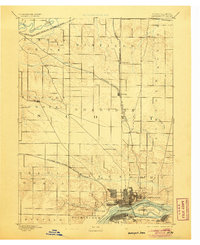
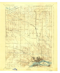
1891 · Davenport
USGS Topo · 1:62,500

1892 · Wheatland
USGS Topo · 1:62,500

1892 · Goose Lake
USGS Topo · 1:62,500

1892 · Leclaire
USGS Topo · 1:62,500

1893 · Leclaire
USGS Topo · 1:62,500

1894 · Wheatland
USGS Topo · 1:62,500

1894 · Durant
USGS Topo · 1:62,500

1894 · Goose Lake
USGS Topo · 1:62,500