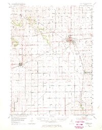
1952 Map of Rochelle
USGS Topo · Published 1970About this map
The Rochelle rail hub anchors this mid-century survey, showing the convergence of the Chicago and North Western, the Chicago Milwaukee St Paul and Pacific, and the Chicago Burlington and Quincy railroads. This industrial nexus is contrasted by the surrounding agricultural landscape of Ogle and Lee Counties, where the Kyte River and Rickelson Creek wind through a dense network of local district schools. Many of these rural education sites, such as Hemstock Sch, Antioch Sch, and Cyclone Sch, appear alongside long-standing family landmarks and burial grounds like Cooley Cem and Reynolds Cem. The map documents the region's transition into the 1950s, detailing localized infrastructure like the Landing Field south of town and numerous gravel pits and quarries that fueled the era's road development across townships like Reynolds and Flagg.
Find a feature on this map
55 named features on this map. Tap any name to fly to it.
Don’t see what you’re looking for? This feature index may not catch every label — zoom into the map to look around manually.
Map Details
Editions of this 1952 Rochelle Map
3 editions found

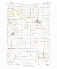
Other maps of this area

1917 · Kings
USGS Topo · 1:62,500

1918 · Dixon
USGS Topo · 1:62,500

1918 · Kings
USGS Topo · 1:62,500

1918 · Kirkland
USGS Topo · 1:62,500

1922 · Oregon
USGS Topo · 1:62,500

1924 · Oregon
USGS Topo · 1:62,500

1934 · De Kalb
USGS Topo · 1:62,500

1937 · De Kalb
USGS Topo · 1:62,500

1950 · Dixon
USGS Topo · 1:62,500

1951 · Amboy
USGS Topo · 1:62,500