2020s Maps of Rooks Creek Township, Illinois
Explore 8 historic maps of Rooks Creek Township from the 2020s. These maps offer a rare glimpse into what life looked like during the 2020s — showing old roads, neighborhoods, homes, and landmarks that have changed or disappeared over time.
Whether you're researching your family's past, planning a metal detecting trip, or studying how Rooks Creek Township's landscape evolved across the 2020s, these high-resolution maps are a powerful tool for exploring the history of this region.
- Focus on a specific era: All maps on this page are from the 2020s, giving you a focused view of this time period.
- See what’s changed: Compare century-old streets, trails, and buildings to today's modern landscape using overlays and satellite layers.
- Research with precision: Use these maps for genealogy, historical research, land use analysis, or educational projects.
- View, download, or print: Maps are fully viewable online in high resolution, and can be downloaded or printed for your own records.
Start exploring Rooks Creek Township's history through authentic maps from the 2020s. This is your window into the past.
Rooks Creek Township, IL maps
(8)- 2021 Map of Flanagan South, 2021 Print
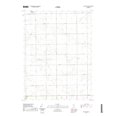 2021 Flanagan South2021 Print · USGSCovers Rooks Creek Township, including Gridley, Flanagan, and other nearby areas
 - 2021 Map of Flanagan North, 2021 Print
 2021 Flanagan North2021 Print · USGSCovers Rooks Creek Township, including Flanagan, Amity Township, and other nearby areas
 - 2021 Map of Southwest Pontiac, 2021 Print
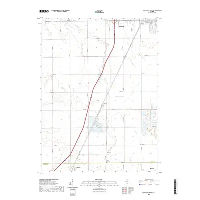 2021 Southwest Pontiac2021 Print · USGSCovers Rooks Creek Township, including Pontiac, Chenoa, and other nearby areas
 - 2021 Map of Northwest Pontiac, 2021 Print
 2021 Northwest Pontiac2021 Print · USGSCovers Rooks Creek Township, including Pontiac, Cornell, and other nearby areas
 - 2024 Map of Southwest Pontiac, 2024 Print
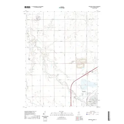
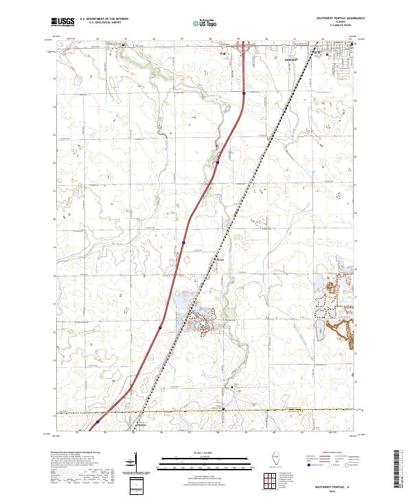 2024 Southwest Pontiac2024 Print · USGSThe Illinois prairie south of Pontiac remains a landscape of deep-rooted agriculture and historic transit corridors. Genealogists can locate family sites near Ocoya or at the Rooks Creek Cem, while historians can trace the path of Old Rte 66.
 - 2024 Map of Flanagan North, 2024 Print
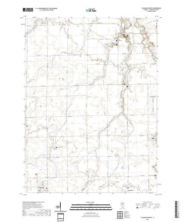 2024 Flanagan North2024 Print · USGSLivingston County's agricultural heartland is documented in the mid-2020s, showing the enduring grid of prairie townships. Family historians can locate numerous small burial sites like Nigh Chapel Cem and Morris Cem between the towns of Flanagan and Graymont.
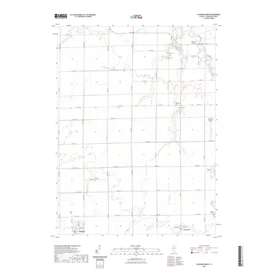
 - 2024 Map of Flanagan South, 2024 Print
 2024 Flanagan South2024 Print · USGSThe rural landscapes of Livingston County are captured here in the contemporary era as they straddle the McLean County line. Genealogists can locate several ancestral burial grounds including Waldo Cem, Pike Cem, and Saint Josephs Cem near Flanagan.
 - 2024 Map of Northwest Pontiac, 2024 Print
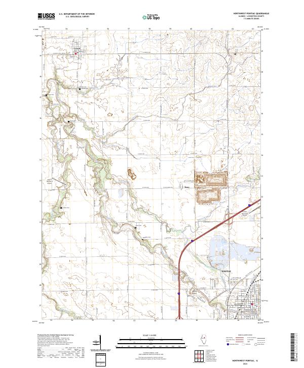 2024 Northwest Pontiac2024 Print · USGSLivingston County's river-fed prairies appear here in the modern era, showing the enduring agricultural and civic layout of the region. Genealogists can locate family burial sites like Cornell Cem and Corbins Cem alongside the winding Vermilion River.
End of results
Showing maps 1-8 of 8
Top cities near Rooks Creek Township
- Streator historical maps
- Pontiac historical maps
- Fairbury historical maps
- El Paso historical maps
- Lexington historical maps
- Chenoa historical maps
See more
Top neighborhoods of Rooks Creek Township
Frequently asked questions
- What are the different types of historical maps available for Rooks Creek Township?
- What is the oldest map of Rooks Creek Township?
- Where can I purchase historical maps of Rooks Creek Township for my home or office?
- Where can I download high-res historical maps of Rooks Creek Township?
- Are there historical topographic maps available for Rooks Creek Township?
- Is there historical aerial imagery available for Rooks Creek Township?
- Where are historical maps of Rooks Creek Township sourced from?