Old Maps of Palmyra, Illinois
Explore 23 old maps of Palmyra, spanning from 1923 to today. These high-resolution historic maps reveal how streets, neighborhoods, landmarks, and natural features evolved over time — perfect for genealogy, metal detecting, research, and local history exploration.
What you can do with these maps:
- See how Palmyra changed over time: Compare historical maps to modern-day views to trace roads, homesites, rail lines & more.
- View detailed metadata: Each map includes creators, publishers, year, scale, and archive source.
- Overlay maps with satellite & LiDAR: Visualize the past alongside modern tools to explore terrain & human change.
- Trusted historical sources: Maps sourced from the USGS, Library of Congress, and other archives.
- Access maps your way: View online, download high-res files, or order prints for personal or research use.
Start exploring old maps of Palmyra to uncover forgotten places, hidden landmarks, and the deep history beneath your feet.
Palmyra, IL maps
(23)- 1923 Map of Carlinville
 1923 Carlinville1923 Print · USGSMacoupin County in the early twenties reveals a landscape connected by the Illinois Traction System and scores of one-room schoolhouses. Genealogists can locate family landmarks like Bethel Cem, Liberty Church, and dozens of named rural schools from Franklin School to Cherry Grove School.
 - 1925 Map of Carlinville
 1925 Carlinville1925 Print · USGSMacoupin County in the mid-1920s reveals a landscape defined by busy rail junctions and a dense network of country school districts. Genealogists can trace family roots through dozens of local landmarks like Antioch Church, Womac Station, and Dressor Mill School.2 unique versions available
 - 1931 Map of Carlinville, 1955 Print
 1931 Carlinville1955 Print · USGSMacoupin County in the early thirties is captured here as a bustling network of rail lines and rural school districts. Researchers can trace the paths of the Illinois Traction System and locate dozens of local landmarks like Coops Mound, Antioch Church, and Grimmett School.3 unique versions available
 - 1932 Map of Greenfield
 1932 Greenfield1932 Print · USGSGreene and Macoupin counties thrive as a rail-centered agricultural heartland during the early thirties. Genealogists can trace family homesteads near numerous rural schools like Oak Hill Sch and Landreth Sch, or churches such as Mt Moriah Ch.3 unique versions available
 - 1948 Map of Quincy
 1948 Quincy1948 Print · USGSThe Mississippi and Illinois River valleys are captured at a post-war crossroads as rail and river travel met the expanding highway system. Genealogists can trace family settlements from Quincy to Hannibal and smaller towns like Vandalia and Jerseyville.2 unique versions available
 - 1956 Map of Quincy, 1967 Print
 1956 Quincy1967 Print · USGSThe river and rail corridors of the Illinois-Missouri border are documented here during the mid-1950s. Researchers can trace historic river landings and regional transit hubs from Quincy and Hannibal to smaller settlements like Meredosia and Roodhouse.3 unique versions available
 - 1958 Map of Decatur, 1971 Print
 1958 Decatur1971 Print · USGSCentral Illinois in the mid-twentieth century shows a landscape defined by industrial rail hubs and the creation of large reservoirs. Researchers can trace historic corridors like the Penn Central or locate landmarks such as Lincoln Log Cabin State Park and Lake Springfield.3 unique versions available
 - 1961 Map of Decatur
 1961 Decatur1961 Print · USGSCentral Illinois in the late fifties was a bustling corridor of rail lines and prairie commerce centered on the state capital. Genealogists and historians can trace the intricate connections between Springfield, Decatur, and dozens of smaller settlements like Nokomis and Arcola.2 unique versions available
 - 1979 Map of Palmyra, 1980 Print
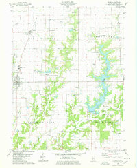 1979 Palmyra1980 Print · USGSMacoupin County prairie meets the waters of Otter Lake in the late seventies, a time when family farms and local aviation defined the landscape. Genealogists can locate family burial sites like Cloud Cem and O'Neal Cem or trace the rural routes connecting Palmyra and Modesto.2 unique versions available
 - 1982 Map of Litchfield
 1982 Litchfield1982 Print · USGSThe coal and rail corridors of Central Illinois are captured here in the early eighties as the region balanced industrial mining with its agricultural roots. Researchers can trace family history through sites like Zelmer Memorial Cemetery or the grounds of Blackburn College and the Crown Mine No 1.
 - 1983 Map of Scottville, 1984 Print
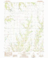 1983 Scottville1984 Print · USGSMacoupin County in the early eighties remains a quiet network of small townships and family burial grounds. Researchers can trace ancestral sites like East Scottville Cem and Hollingsworth Cem alongside rural landmarks like Asbury Ch.
 - 1985 Map of Jerseyville
 1985 Jerseyville1985 Print · USGSThe confluence of the Illinois and Mississippi rivers defines this 1980s landscape of fertile bottomlands and rail-hub towns. Genealogists and historians can trace the foundations of communities like Jerseyville and White Hall alongside the Oak Grove Cem and St Mary Church.2 unique versions available
 - 1998 Map of Palmyra, 2002 Print
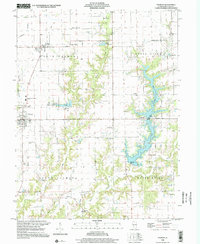 1998 Palmyra2002 Print · USGSMacoupin County at the turn of the twenty-first century reveals a landscape balancing traditional farming with large-scale water projects. Researchers can locate numerous family cemeteries like Weller Cem and Cherry Cem or trace the Old Railroad Grade west of Palmyra.
 - 2012 Map of Scottville, 2012 Print
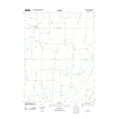 2012 Scottville2012 Print · USGSScottville and the surrounding Macoupin County countryside are captured here in the early twenty-first century as a landscape of enduring family farms. Genealogists and local historians can locate numerous rural burial sites including Hollingsworth Cem, Solomon A M Cem, and Oak Hill Cem.
 - 2012 Map of Palmyra, 2012 Print
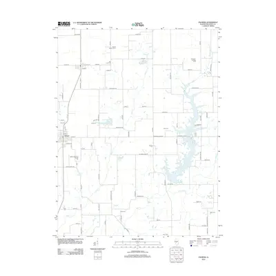 2012 Palmyra2012 Print · USGSMacoupin County agricultural lands and local reservoirs are captured here in the early twenty-first century. Family historians can locate numerous rural burial sites like Union Cem and Blue Grass Cem or trace the extensive shoreline of Otter Lake.
 - 2015 Map of Scottville, 2015 Print
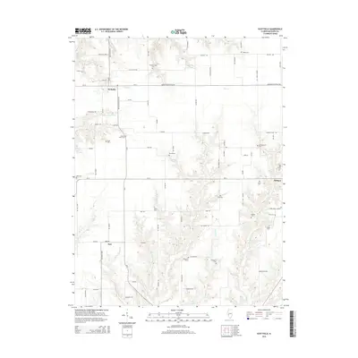 2015 Scottville2015 Print · USGSThe Illinois prairie around Scottville and Palmyra is captured here in the early twenty-first century. Genealogists can trace family heritage through numerous landmarks like Hettick Point Cemetery, Deep Rock Station, and the settlement of Barr.
 - 2015 Map of Palmyra, 2015 Print
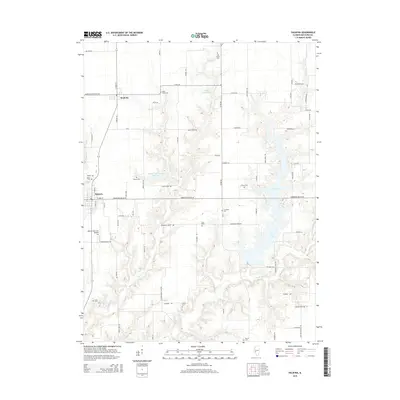 2015 Palmyra2015 Print · USGSThe rural landscape of Palmyra and Modesto is captured here in the mid-2010s, showing a region defined by its reservoirs and prairie farmland. Genealogists and local historians can locate many small family burial sites, including Blue Grass Cem, Welton Cem, and Doss Grave.
 - 2018 Map of Scottville, 2018 Print
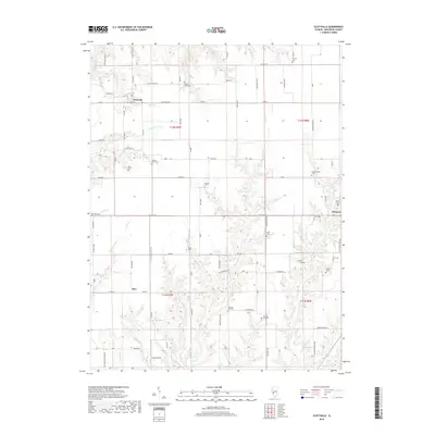 2018 Scottville2018 Print · USGSMacoupin County's rural character is on full display in this recent survey of the lands between Scottville and Palmyra. Genealogists can trace decades of local history through over a dozen named sites like Oak Hill Cem, Hollingsworth Cem, and Panther Creek Cem.
 - 2018 Map of Palmyra, 2018 Print
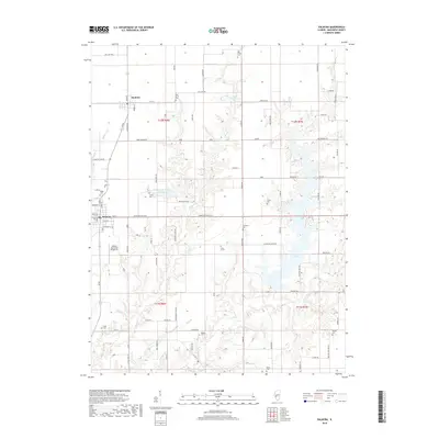 2018 Palmyra2018 Print · USGSIn the rural heart of Macoupin County during the late twenty-tens, this survey captures the landscape between the villages of Palmyra and Modesto. Genealogists and local historians can locate numerous family burial sites such as O'Neal Cemetery, Cherry Cemetery, and the Doss Grave near the shores of Otter Lake.
 - 2021 Map of Palmyra, 2021 Print
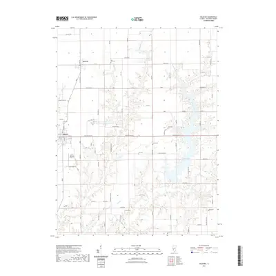 2021 Palmyra2021 Print · USGSMacoupin County at the start of the 2020s remains a landscape of tightly knit farming communities and deeply rooted local history. Genealogists can locate numerous rural burial sites including Blue Grass Cem, Weller Cem, and the secluded Doss Grave.
 - 2021 Map of Scottville, 2021 Print
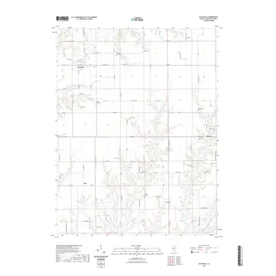 2021 Scottville2021 Print · USGSMacoupin County farmland at the start of the twenty-first century reveals a landscape still defined by its nineteenth-century pioneer roots. Genealogists can trace family footprints across dozens of local burial sites, including Hettick Point Cem, Hollingsworth Cem, and Ruyle Cem.
 - 2024 Map of Scottville, 2024 Print
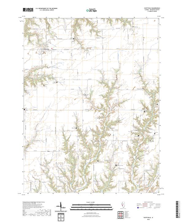 2024 Scottville2024 Print · USGSMacoupin County's rural landscape is captured here in the early 2020s, showing a region where agricultural traditions and family history remain deeply rooted. Researchers can trace dozens of burial sites like Hettick Point Cem, Crum Cem, and Wills Cem tucked along the valley of Joes Creek.
 - 2024 Map of Palmyra, 2024 Print
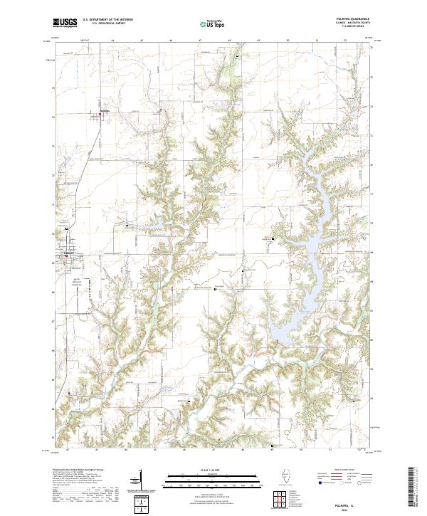 2024 Palmyra2024 Print · USGSModern Macoupin County remains a landscape of deep-cut creek valleys and family heritage sites. Genealogists and local historians can trace legacy sites like Blue Grass Cem and Doss Grave or follow the waters of Otter Lake and Wolf Branch.
End of results
Showing maps 1-23 of 23
Top cities near Palmyra
- Springfield historical maps
- Carlinville historical maps
- Virden historical maps
- Girard historical maps
- Waverly historical maps
- Greenfield historical maps
See more
Frequently asked questions
- What are the different types of historical maps available for Palmyra?
- What is the oldest map of Palmyra?
- Where can I purchase historical maps of Palmyra for my home or office?
- Where can I download high-res historical maps of Palmyra?
- Are there historical topographic maps available for Palmyra?
- Is there historical aerial imagery available for Palmyra?
- Where are historical maps of Palmyra sourced from?