Old Maps of Omega Township, Illinois for Academic Research
Study the evolution of Omega Township with 18 high-resolution historic maps. Whether you're teaching, researching, or modeling changes in land use, these maps provide essential visual documentation of urban, environmental, and geographic change.
- Analyze long-term change: Track patterns in development, transportation, and natural features.
- Ideal for environmental or urban studies: Support academic projects with primary historical map data.
- Use in the classroom or lab: Educators and researchers rely on these maps to bring historical context to life.
These maps are a powerful tool for teaching, research, and visualizing how Omega Township has changed over the decades.
Omega Township, IL maps
(18)- 1934 Map of Salem, 1960 Print
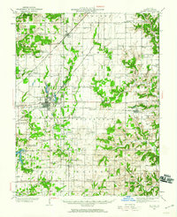 1934 Salem1960 Print · USGSMarion County in the mid-1930s is a dense network of steam railroads and rural township life centered around the bustling city of Salem. Genealogists and historians can trace family roots at numerous rural schoolhouses like Allmon Sch and historic landmarks such as the County Infirmary.
 - 1938 Map of Salem
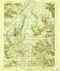 1938 Salem1938 Print · USGSMarion County thrived as a rail-centric agricultural hub in the late 1930s, defined by the intersection of three major railroads. Genealogists can trace family roots through dozens of local landmarks like Givens Chapel, County Infirmary, and the Martin Cem.2 unique versions available
 - 1952 Map of Xenia, 1954 Print
 1952 Xenia1954 Print · USGSSouthern Illinois prairie and farmland are captured here in the early fifties, showing the rural crossroads of Clay and Wayne Counties. Researchers can trace dozens of country schools and family landmarks like Henson Cem, Vickrey Sch, and the Baltimore and Ohio rail line.2 unique versions available
 - 1958 Map of Belleville, 1973 Print
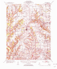
 1958 Belleville1973 Print · USGSSouthern Illinois during the mid-twentieth century reveals a landscape of industrial growth and massive new reservoirs. Genealogists and historians can trace the paths of the Illinois Central RR through towns like Centralia or locate landmarks such as Emerald Mound and the Looking Glass Prairie.3 unique versions available
 - 1962 Map of Belleville
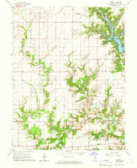
 1962 Belleville1962 Print · USGSSouthern Illinois in the late fifties reveals a landscape of industrial growth and ancient landmarks before the full expansion of the interstate system. Genealogists can trace family names and rural post offices near Centralia, Salem, and the historic Monks Mound.
 - 1965 Map of Omega, 1968 Print
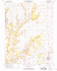
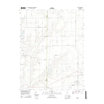
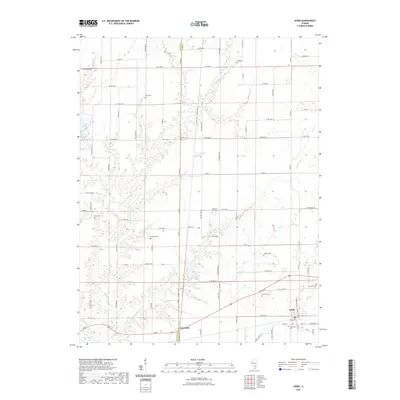
 1965 Omega1968 Print · USGSMid-century Marion County is captured here at a time when rural life centered on crossroads churches and family cemeteries. Trace the development of Stephen A Forbes State Lake or find ancestral sites like Vatican Cem and New Bethel Ch.2 unique versions available
 - 1968 Map of Xenia, 1970 Print
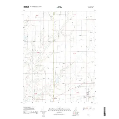
 1968 Xenia1970 Print · USGSThe clay and marion county line in the late sixties reveals a landscape defined by the Baltimore and Ohio railroad and active petroleum extraction. Researchers can locate numerous family-named landmarks and rural institutions, from Conners Chapel and Smith Cem to the infrastructure of the Xenia Oil Field.2 unique versions available
 - 1986 Map of Olney
 1986 Olney1986 Print · USGSSouth-central Illinois in the mid-eighties shows a landscape of small agricultural towns linked by historic rail lines and prairie preserves. Trace family roots and vanished rail stops near Kinmundy, the Prairie Chicken Sanctuary, and Salem.2 unique versions available
 - 2012 Map of Omega, 2012 Print
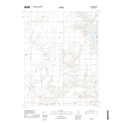
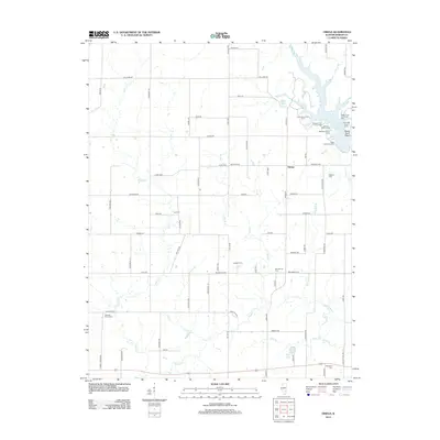 2012 Omega2012 Print · USGSCovers Omega Township, including Iuka, Omega, and other nearby areas
 - 2012 Map of Xenia, 2012 Print
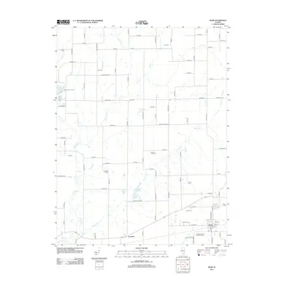 2012 Xenia2012 Print · USGSCovers Omega Township, including Xenia, Greendale, and other nearby areas
 - 2015 Map of Omega, 2015 Print
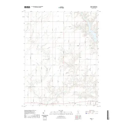
 2015 Omega2015 Print · USGSCovers Omega Township, including Iuka, Omega, and other nearby areas
 - 2015 Map of Xenia, 2015 Print
 2015 Xenia2015 Print · USGSCovers Omega Township, including Xenia, Greendale, and other nearby areas
 - 2018 Map of Xenia, 2018 Print
 2018 Xenia2018 Print · USGSCovers Omega Township, including Xenia, Greendale, and other nearby areas
 - 2018 Map of Omega, 2018 Print
 2018 Omega2018 Print · USGSCovers Omega Township, including Iuka, Omega, and other nearby areas
 - 2021 Map of Omega, 2021 Print
 2021 Omega2021 Print · USGSCovers Omega Township, including Iuka, Omega, and other nearby areas
 - 2021 Map of Xenia, 2021 Print
 2021 Xenia2021 Print · USGSCovers Omega Township, including Xenia, Greendale, and other nearby areas
 - 2024 Map of Omega, 2024 Print
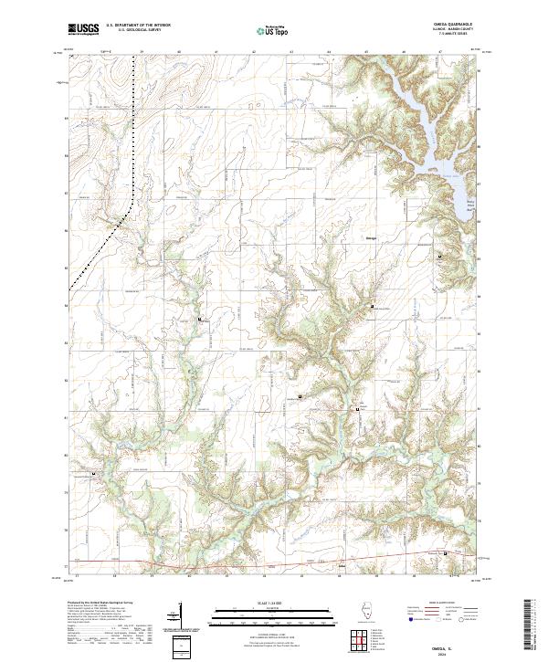 2024 Omega2024 Print · USGSMarion County's rural landscape comes into focus here at the turn of the 21st century, centered on the community of Omega. Genealogists can trace family roots through numerous local sites like Bee Branch Cem, Yost Cem, and Millican Cem.
 - 2024 Map of Xenia, 2024 Print
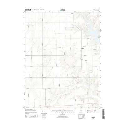
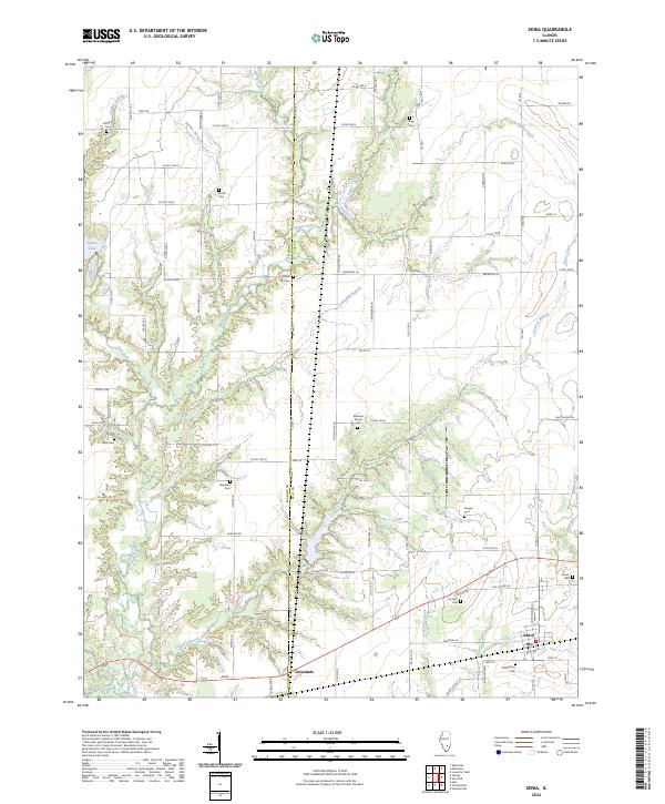 2024 Xenia2024 Print · USGSMarion and Clay Counties meet in this rural Illinois landscape as it appeared in 2024, centered on the village of Xenia. Researchers can trace dozens of local burial sites and family landmarks, from the Oddfellows Cem to the Edwards Family Cem and Songer Cem.
End of results
Showing maps 1-18 of 18
Top cities near Omega Township
- Salem historical maps
- La Clede historical maps
- Kinmundy historical maps
- Edgewood historical maps
- Iuka historical maps
- Wilberton historical maps
See more
Top neighborhoods of Omega Township
Frequently asked questions
- What are the different types of historical maps available for Omega Township?
- What is the oldest map of Omega Township?
- Where can I purchase historical maps of Omega Township for my home or office?
- Where can I download high-res historical maps of Omega Township?
- Are there historical topographic maps available for Omega Township?
- Is there historical aerial imagery available for Omega Township?
- Where are historical maps of Omega Township sourced from?