Old Maps of Patoka, Illinois for Genealogy
Trace your family roots with 19 historic maps of Patoka. These high-res maps reveal old neighborhoods, homesites, landmarks, and streets — helping you uncover where your ancestors lived and how the area evolved over time.
- Explore historic neighborhoods: Identify where your relatives may have lived in the 1800s or 1900s.
- Compare maps over time: Trace the changes in streets, buildings, and landmarks for multi-generational research.
- Perfect for genealogy & ancestry research: Used by family historians and researchers to map out lineage and migration.
These maps are an incredible resource for exploring your personal connection to Patoka's past.
Patoka, IL maps
(19)- 1914 Map of Centralia
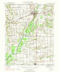
 1914 Centralia1914 Print · USGSSouthern Illinois at the peak of the rail era shows a landscape of busy junctions and tightly-knit rural school districts. Genealogists and historians can trace family locations near landmarks like Possumtrot School, Fikes Hill, and the bustling yards of Centralia.3 unique versions available
 - 1935 Map of Centralia, 1958 Print
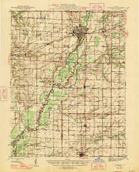
 1935 Centralia1958 Print · USGSCentralia and the surrounding Marion County townships thrived as a major railroad crossroads in the mid-1930s. Researchers can locate dozens of localized rural schoolhouses like Red Stripe and Possumtrot School or trace the early paths of the Illinois Central through Sandoval and Odin.
 - 1945 Map of Vandalia, 1969 Print
 1945 Vandalia1969 Print · USGSMid-century Fayette County life centered on the Kaskaskia River and the rail-connected hub of Vandalia. Genealogists can trace family names through dozens of rural landmarks, from the Mc Inturff Cem to school sites like Clover College Sch and Elm Grove Sch.
 - 1947 Map of Vandalia
 1947 Vandalia1947 Print · USGSThe Kaskaskia River valley in the post-war era shows a landscape of busy rail junctions and rural school districts. Genealogists can trace family names through dozens of landmarks like Evans Cem, Clover College Sch, and the community of Hagarstown.
 - 1958 Map of Belleville, 1973 Print
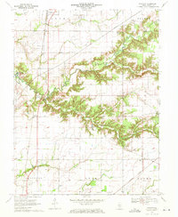
 1958 Belleville1973 Print · USGSSouthern Illinois during the mid-twentieth century reveals a landscape of industrial growth and massive new reservoirs. Genealogists and historians can trace the paths of the Illinois Central RR through towns like Centralia or locate landmarks such as Emerald Mound and the Looking Glass Prairie.3 unique versions available
 - 1962 Map of Belleville
 1962 Belleville1962 Print · USGSSouthern Illinois in the late fifties reveals a landscape of industrial growth and ancient landmarks before the full expansion of the interstate system. Genealogists can trace family names and rural post offices near Centralia, Salem, and the historic Monks Mound.
 - 1970 Map of Fairman, 1971 Print
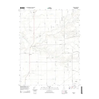
 1970 Fairman1971 Print · USGSMarion County's rural oil-producing landscape is captured here in the early seventies as the petroleum industry shaped the local economy. Researchers can locate the Patoka East Oil Field, the Illinois Central railroad, and family landmarks like Cruise Cem and Cubbage Chapel.
 - 1974 Map of Patoka, 1977 Print
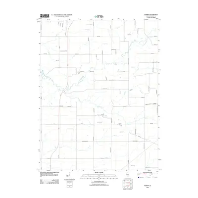
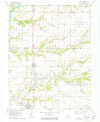 1974 Patoka1977 Print · USGSMarion and Fayette Counties show a landscape defined by petroleum extraction and rail transport in the mid-1970s. Researchers can trace family history through local sites like Patoka Sch or the Farmers Cem and Hatch Cem.2 unique versions available
 - 1985 Map of Carlyle Lake
 1985 Carlyle Lake1985 Print · USGSSouthwestern Illinois in the mid-eighties shows a landscape of growing commuter suburbs and massive water management projects. Genealogists and historians can locate family plots at Lakeview Memorial Gardens Cem or trace the early footprint of Southern Illinois Univ (Edwardsville).2 unique versions available
 - 2012 Map of Fairman, 2012 Print
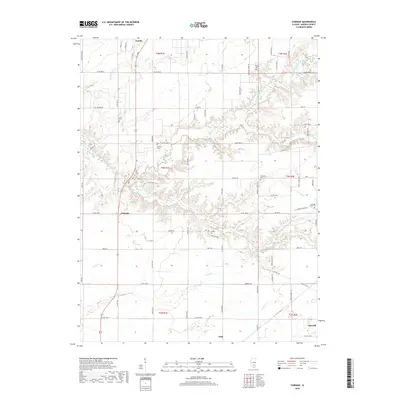
 2012 Fairman2012 Print · USGSCovers Patoka, including Salem, Odin, and other nearby areas
 - 2012 Map of Patoka, 2012 Print
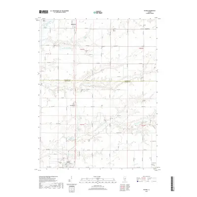
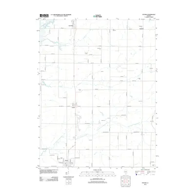 2012 Patoka2012 Print · USGSCovers Patoka, including Vernon, Augsburg, and other nearby areas
 - 2015 Map of Patoka, 2015 Print
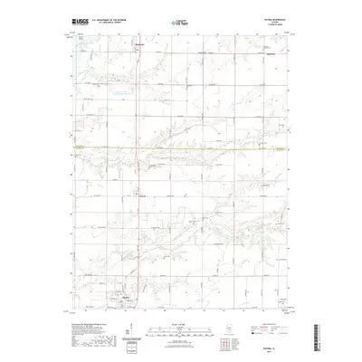
 2015 Patoka2015 Print · USGSCovers Patoka, including Vernon, Augsburg, and other nearby areas
 - 2015 Map of Fairman, 2015 Print
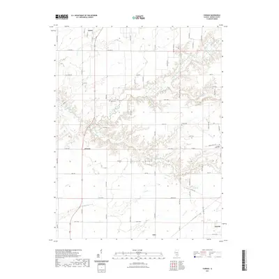
 2015 Fairman2015 Print · USGSCovers Patoka, including Salem, Odin, and other nearby areas
 - 2018 Map of Patoka, 2018 Print
 2018 Patoka2018 Print · USGSCovers Patoka, including Vernon, Augsburg, and other nearby areas
 - 2018 Map of Fairman, 2018 Print
 2018 Fairman2018 Print · USGSCovers Patoka, including Salem, Odin, and other nearby areas
 - 2021 Map of Fairman, 2021 Print
 2021 Fairman2021 Print · USGSCovers Patoka, including Salem, Odin, and other nearby areas
 - 2021 Map of Patoka, 2021 Print
 2021 Patoka2021 Print · USGSCovers Patoka, including Vernon, Augsburg, and other nearby areas
 - 2024 Map of Fairman, 2024 Print
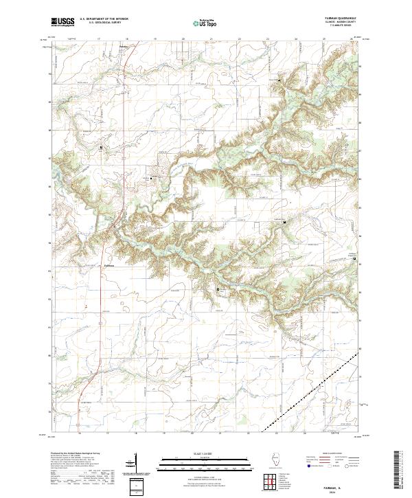 2024 Fairman2024 Print · USGSMarion County land records come to life in this contemporary survey of the area surrounding Patoka and Fairman. Genealogists can locate several local burial sites, including Harrison Cem and Fredonia Cem, alongside the winding East Fork Kaskaskia River.
 - 2024 Map of Patoka, 2024 Print
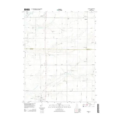
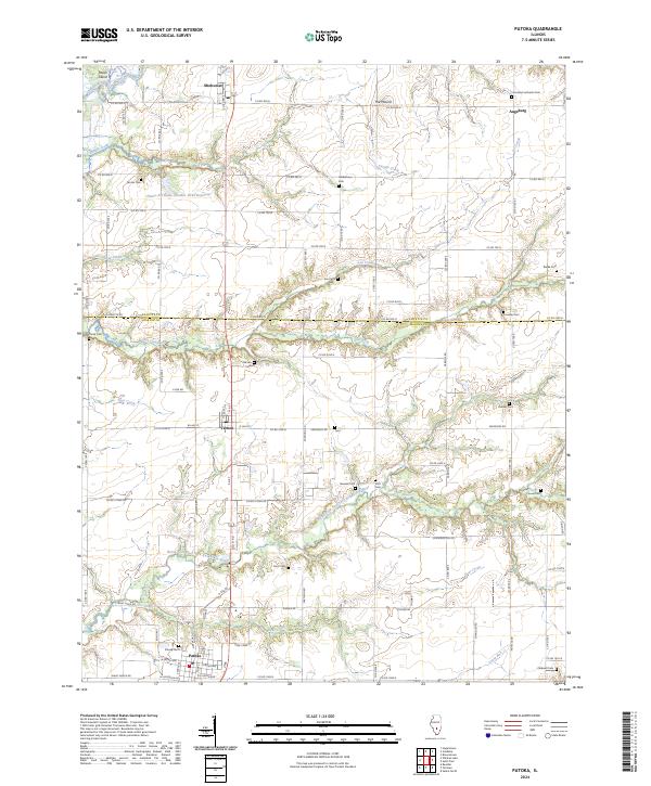 2024 Patoka2024 Print · USGSPatoka and Vernon sit at the crossroads of Marion and Fayette counties in this contemporary look at the Illinois prairie. Researchers can trace family history at Patoka Cem, Lee Cem, and the rural settlement of Augsburg.
End of results
Showing maps 1-19 of 19
Top cities near Patoka
- Centralia historical maps
- Salem historical maps
- Vandalia historical maps
- Sandoval historical maps
- Central City historical maps
- Odin historical maps
See more
Frequently asked questions
- What are the different types of historical maps available for Patoka?
- What is the oldest map of Patoka?
- Where can I purchase historical maps of Patoka for my home or office?
- Where can I download high-res historical maps of Patoka?
- Are there historical topographic maps available for Patoka?
- Is there historical aerial imagery available for Patoka?
- Where are historical maps of Patoka sourced from?