Old Maps of Stanford, Illinois for Metal Detecting
Plan your next treasure hunt with 14 historic maps of Stanford. Find old homesites, ghost towns, trails, and gathering spots that may be lost to time — perfect for identifying promising metal detecting locations.
- Locate forgotten sites: Uncover places like long-lost settlements, abandoned rail lines, or gathering spots.
- Plan better hunts: Use map overlays combined with LiDAR or satellite views to narrow in on historically rich areas.
- Made for detectorists: Thousands of hobbyists use these maps to discover relics, coins, and hidden history.
Use these historic maps to boost your research and find new opportunities beneath the surface of Stanford.
Stanford, IL maps
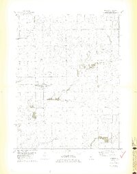
(14)- 1949 Map of Mc Lean, 1972 Print
 1949 Mc Lean1972 Print · USGSMid-century McLean County is captured here at a time when small rural schools and parish churches still dotted the prairie landscape. Genealogists and historians can trace family roots through numerous sites like Mount Hope Cem, Alexander Sch, and the Ebenezer Ch.
 - 1951 Map of McLean
 1951 McLean1951 Print · USGSCentral Illinois during the early fifties reveals a landscape of thriving rail towns and rural school districts. Genealogists and historians can trace the foundations of Bloomington or find local landmarks like Forks Grove Ch and Sunny Point Sch.2 unique versions available
 - 1958 Map of Peoria, 1969 Print
 1958 Peoria1969 Print · USGSCentral Illinois thrived as a hub of education and transport during the late sixties, as the new interstate system began to reshape the prairie. Genealogists and historians can trace local landmarks like Springdale Cem, Bradley University, and the sprawling grounds of Chanute AFB.4 unique versions available
 - 1961 Map of Peoria
 1961 Peoria1961 Print · USGSCentral Illinois thrived at the intersection of river trade and rail power during the late fifties. Genealogists and local historians can trace the rail networks of the Illinois Central and Wabash, alongside landmarks like Chanute AFB and Weldon Springs State Park.
 - 1963 Map of Peoria
 1963 Peoria1963 Print · USGSCentral Illinois thrived as a rail and highway crossroads during the early sixties, centered on the bustling Illinois River valley. Genealogists and historians can trace the mid-century layout of Peoria, locate the grounds of Chanute Air Force Base, and follow historic lines like the Toledo Peoria and Western Railway.
 - 1981 Map of Stanford
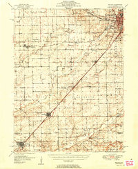
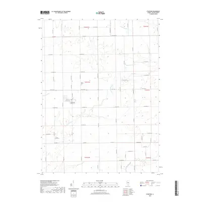
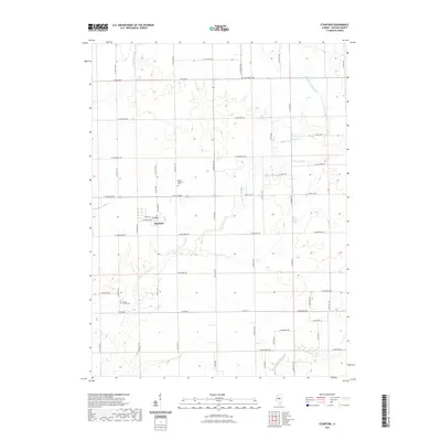
 1981 Stanford1981 Print · USGSStanford and the fertile plains of McLean County are shown in the early eighties as the rail-and-creek economy evolved. Researchers can trace the Illinois Central Gulf corridor or locate local landmarks like Brooks Grove Cem and Olympia High Sch.2 unique versions available
 - 1985 Map of Lincoln
 1985 Lincoln1985 Print · USGSMid-century Illinois comes to life in this survey of Logan and Mason counties as the interstate era reshapes the prairie. Genealogists and historians can trace rail-town development from San Jose to Kenney or locate landmarks like Rose Hill Cem and Funks Grove.
 - 1989 Map of Lincoln
 1989 Lincoln1989 Print · USGSCentral Illinois in the late eighties remains a landscape of productive prairie and vital river arteries. Genealogists and local historians can trace rural family landmarks like Rose Hill Cem, identify early aviation at Logan County Airport, or follow the Illinois Central Gulf Railroad through towns like Atlanta and Lincoln.
 - 1990 Map of Peoria
 1990 Peoria1990 Print · USGSCentral Illinois at the start of the nineties reveals a landscape of industrial river towns and sprawling university campuses. Researchers can trace the legacy of major institutions like Chanute Air Force Base and the University of Illinois alongside regional landmarks such as Sand Ridge State Forest.
 - 2012 Map of Stanford, 2012 Print
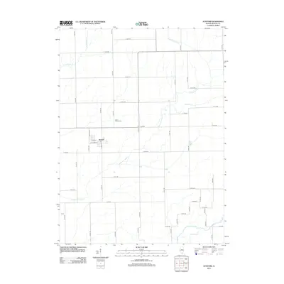 2012 Stanford2012 Print · USGSCovers Stanford, including McLean County, United States, and other nearby areas
 - 2015 Map of Stanford, 2015 Print
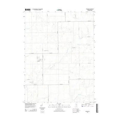 2015 Stanford2015 Print · USGSCovers Stanford, including McLean County, United States, and other nearby areas
 - 2018 Map of Stanford, 2018 Print
 2018 Stanford2018 Print · USGSCovers Stanford, including McLean County, United States, and other nearby areas
 - 2021 Map of Stanford, 2021 Print
 2021 Stanford2021 Print · USGSCovers Stanford, including McLean County, United States, and other nearby areas
 - 2024 Map of Stanford, 2024 Print
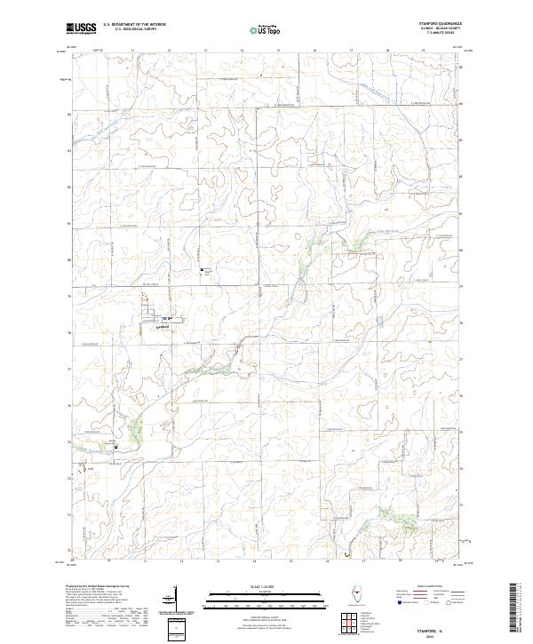 2024 Stanford2024 Print · USGSThe village of Stanford and its surrounding McLean County farmsteads are documented in this recent survey. Researchers can trace land boundaries along section roads to reach historical sites like Mount Pleasant Cem and the banks of Middle Fork Sugar Creek.
End of results
Showing maps 1-14 of 14
Top cities near Stanford
- Bloomington historical maps
- Normal historical maps
- Morton historical maps
- Heyworth historical maps
- Hudson historical maps
- Mackinaw historical maps
See more
Frequently asked questions
- What are the different types of historical maps available for Stanford?
- What is the oldest map of Stanford?
- Where can I purchase historical maps of Stanford for my home or office?
- Where can I download high-res historical maps of Stanford?
- Are there historical topographic maps available for Stanford?
- Is there historical aerial imagery available for Stanford?
- Where are historical maps of Stanford sourced from?