Old Maps of Waggoner, Illinois for Genealogy
Trace your family roots with 16 historic maps of Waggoner. These high-res maps reveal old neighborhoods, homesites, landmarks, and streets — helping you uncover where your ancestors lived and how the area evolved over time.
- Explore historic neighborhoods: Identify where your relatives may have lived in the 1800s or 1900s.
- Compare maps over time: Trace the changes in streets, buildings, and landmarks for multi-generational research.
- Perfect for genealogy & ancestry research: Used by family historians and researchers to map out lineage and migration.
These maps are an incredible resource for exploring your personal connection to Waggoner's past.
Waggoner, IL maps
(16)- 1923 Map of Raymond, 1965 Print
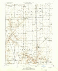 1923 Raymond1965 Print · USGSCentral Illinois at the start of the 1920s showcases a high-density rural network of railroads and country schoolhouses. Researchers can trace family history at sites like the Studebaker School, Bethel Church, and old settlements like Thomasville or Farmersville.2 unique versions available
 - 1925 Map of Raymond
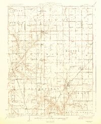 1925 Raymond1925 Print · USGSIn the mid-1920s, this Montgomery County landscape was a thriving rail-and-farm network centered on Raymond and Harvel. Genealogists can trace family roots through dozens of local landmarks like South Bois d'Arc School, Providence Church, and Honey Bend.2 unique versions available
 - 1958 Map of Decatur, 1971 Print
 1958 Decatur1971 Print · USGSCentral Illinois in the mid-twentieth century shows a landscape defined by industrial rail hubs and the creation of large reservoirs. Researchers can trace historic corridors like the Penn Central or locate landmarks such as Lincoln Log Cabin State Park and Lake Springfield.3 unique versions available
 - 1961 Map of Decatur
 1961 Decatur1961 Print · USGSCentral Illinois in the late fifties was a bustling corridor of rail lines and prairie commerce centered on the state capital. Genealogists and historians can trace the intricate connections between Springfield, Decatur, and dozens of smaller settlements like Nokomis and Arcola.2 unique versions available
 - 1979 Map of Farmersville, 1980 Print
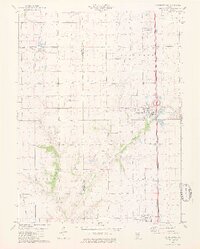 1979 Farmersville1980 Print · USGSThe Montgomery County prairie comes into focus in the late seventies, showing a landscape defined by coal mining and major rail corridors. Researchers can trace family history through sites like Boston Chapel and Rovey Cem or locate the industrial footprints of Crown Mine No 2.2 unique versions available
 - 1982 Map of Litchfield
 1982 Litchfield1982 Print · USGSThe coal and rail corridors of Central Illinois are captured here in the early eighties as the region balanced industrial mining with its agricultural roots. Researchers can trace family history through sites like Zelmer Memorial Cemetery or the grounds of Blackburn College and the Crown Mine No 1.
 - 2012 Map of Atwater, 2012 Print
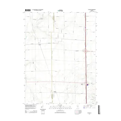
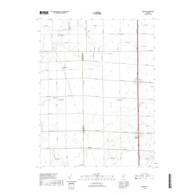
 2012 Atwater2012 Print · USGSCovers Waggoner, including Barnett, Shop Creek, and other nearby areas
 - 2012 Map of Farmersville, 2012 Print
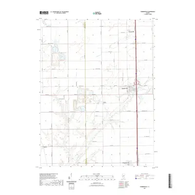
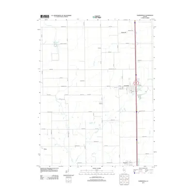 2012 Farmersville2012 Print · USGSCovers Waggoner, including Farmersville, McVey, and other nearby areas
 - 2015 Map of Farmersville, 2015 Print
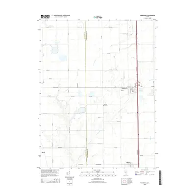 2015 Farmersville2015 Print · USGSCovers Waggoner, including Farmersville, McVey, and other nearby areas
 - 2015 Map of Atwater, 2015 Print
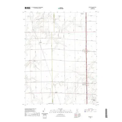
 2015 Atwater2015 Print · USGSCovers Waggoner, including Barnett, Shop Creek, and other nearby areas
 - 2018 Map of Farmersville, 2018 Print
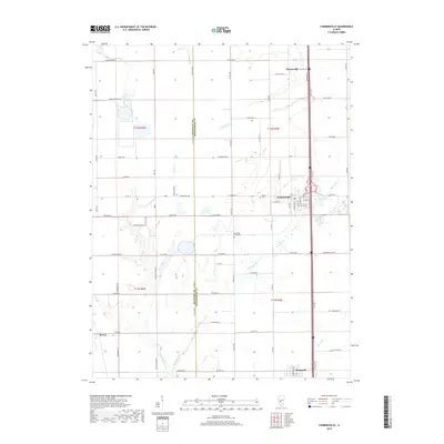 2018 Farmersville2018 Print · USGSCovers Waggoner, including Farmersville, McVey, and other nearby areas
 - 2018 Map of Atwater, 2018 Print
 2018 Atwater2018 Print · USGSCovers Waggoner, including Barnett, Shop Creek, and other nearby areas
 - 2021 Map of Atwater, 2021 Print
 2021 Atwater2021 Print · USGSCovers Waggoner, including Barnett, Shop Creek, and other nearby areas
 - 2021 Map of Farmersville, 2021 Print
 2021 Farmersville2021 Print · USGSCovers Waggoner, including Farmersville, McVey, and other nearby areas
 - 2024 Map of Atwater, 2024 Print
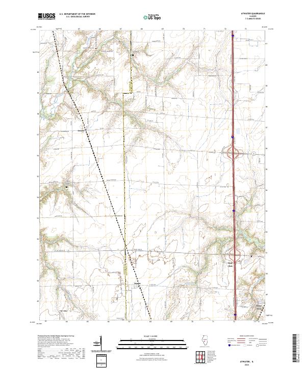 2024 Atwater2024 Print · USGSThe Macoupin and Montgomery county line defines this agricultural landscape in the 2020s, where rural communities remain tied to the prairie. Researchers can trace family history at Bethel Ridge Cem, Providence Cem, or explore the small settlements of Atwater and Barnett.
 - 2024 Map of Farmersville, 2024 Print
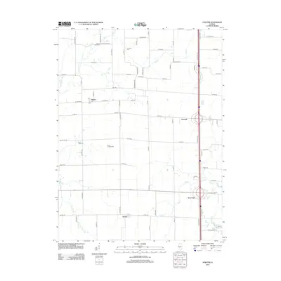
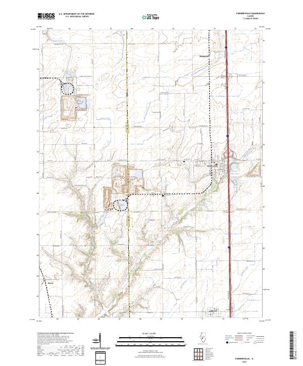 2024 Farmersville2024 Print · USGSFarmersville and the Montgomery county line are captured here in the mid-2020s, showing a landscape defined by coal mining and agriculture. Researchers can trace family sites near Rovey Cem, the industrial footprint of Crown Mine Pond, and the quiet reaches of Macoupin Creek.
End of results
Showing maps 1-16 of 16
Top cities near Waggoner
- Litchfield historical maps
- Hillsboro historical maps
- Carlinville historical maps
- Auburn historical maps
- Virden historical maps
- Pawnee historical maps
See more
Frequently asked questions
- What are the different types of historical maps available for Waggoner?
- What is the oldest map of Waggoner?
- Where can I purchase historical maps of Waggoner for my home or office?
- Where can I download high-res historical maps of Waggoner?
- Are there historical topographic maps available for Waggoner?
- Is there historical aerial imagery available for Waggoner?
- Where are historical maps of Waggoner sourced from?