Old Maps of Scott Township, Illinois for Hiking & Exploration
Hike through history with 34 historic maps of Scott Township. Explore old trails, ghost towns, and forgotten backroads — perfect for outdoor adventurers and local explorers.
- Rediscover forgotten places: Map out old mining camps, roads, and footpaths that no longer exist on modern maps.
- Layer with modern tools: Combine with LiDAR or satellite views to plan hikes through historical terrain.
- Made for exploration: Popular among hikers, overlanders, and local history lovers.
Use these maps to find adventure and explore the hidden past of Scott Township.
Scott Township, IL maps
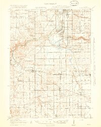
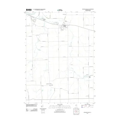
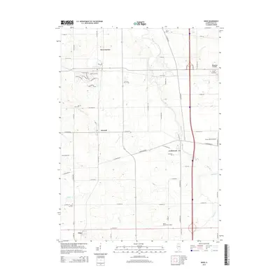
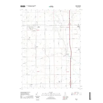
(34)- 1917 Map of Kings, 1969 Print
 1917 Kings1969 Print · USGSNorthern Illinois agriculture and rail lines meet south of Rockford during the early twentieth century. Genealogists can trace rural family roots through dozens of district schools like Black Walnut School and the rail junctions of Davis Junction and Holcomb.
 - 1918 Map of Kings
 1918 Kings1918 Print · USGSThe Rock River valley served as a massive military and rail hub during the First World War. Local historians can trace the early layout of Camp Grant and dozens of country schools like Killbuck School and Maple Corners School.3 unique versions available
 - 1949 Map of Camp Grant
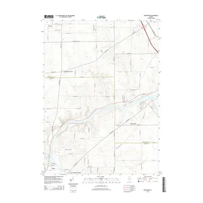
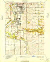 1949 Camp Grant1949 Print · USGSThe industrial and military landscape south of Rockford is captured here shortly after the war, when Camp Grant still shaped the riverfront. Trace the routes of three major railroads and find vanished local landmarks like New Milford Sta and Blackhawk Sch.
 - 1954 Map of Rockford
 1954 Rockford1954 Print · USGSThe Rock River valley and the Illinois-Wisconsin borderlands are captured here in the mid-1950s during a period of robust industrial and agricultural activity. Genealogists and historians can trace rail-era corridors like the Illinois Central RR and locate landmarks from Big Foot Prairie to Lake Geneva.
 - 1955 Map of Rockford
 1955 Rockford1955 Print · USGSThe Rock River valley and southern Wisconsin dairy country are shown here in the mid-fifties as the region's manufacturing centers grew. Genealogists and historians can trace the paths of the Chicago and North Western RR and Illinois Central RR through hubs like Rockford and Beloit.
 - 1958 Map of Rockford, 1974 Print
 1958 Rockford1974 Print · USGSNorthern Illinois and southern Wisconsin are shown here in the mid-twentieth century as rail-dependent industrial towns began to interface with growing lakefront communities. Genealogists can trace family roots through settlements like Saylesville and Tess Corners or locate historical landmarks like the Rockford Ordnance Depot.4 unique versions available
 - 1963 Map of Rockford
 1963 Rockford1963 Print · USGSThe mid-century industrial corridor along the Rock River is shown here during a period of rapid post-war growth. Researchers can trace the extensive rail lines of the Chicago and North Western or locate local landmarks like the Rockford Ordnance Depot and Holy Hill.
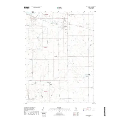
 - 1971 Map of Stillman Valley, 1973 Print
 1971 Stillman Valley1973 Print · USGSNorthern Illinois farmland and rail corridors define the landscape around the early seventies. Genealogists can trace family roots through Beach Cem and Stimponian Cem, or locate old junctions at Stillman Valley and Holcomb.2 unique versions available
 - 1971 Map of Kishwaukee, 1973 Print
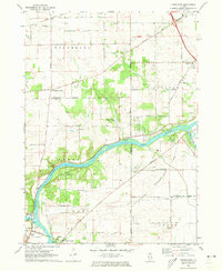 1971 Kishwaukee1973 Print · USGSWinnebago and Ogle Counties are captured here in the early seventies as the river valleys supported both industry and recreation. Genealogists and local historians can locate Winnebago Cemetery, rural schools like Oak Grove, and the Alworth settlement.
 - 1971 Map of Kings, 1973 Print
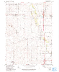
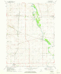 1971 Kings1973 Print · USGSOgle County was a thriving rail and agricultural corridor in the early 1970s, centered on the busy junction at Davis Junction. You can trace the historic paths of the Chicago and North Western railroad or locate family plots at Killbuck Cem and Lindenwood Cem.2 unique versions available
 - 1971 Map of Rockford South, 1973 Print
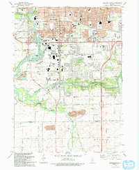
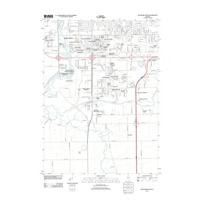
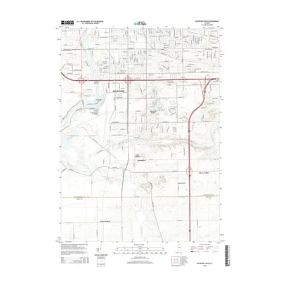
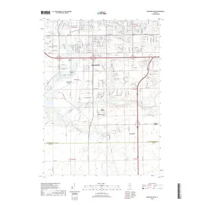
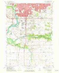 1971 Rockford South1973 Print · USGSSouthern Rockford and the surrounding Winnebago County countryside appear here in the early seventies as suburban growth began to reach toward the Ogle County line. Researchers can trace local landmarks like Starkey Cem, the Grange Hall, and small communities such as New Milford and Morristown.2 unique versions available
 - 1981 Map of Rockford
 1981 Rockford1981 Print · USGSNorthern Illinois during the early eighties shows a landscape shaped by river valleys and a maturing rail network. Genealogists can trace family roots through settlements like Morseville and Buckhorn Corners while exploring the Rock River valley.2 unique versions available
 - 1993 Map of Kings
 1993 Kings1993 Print · USGSOgle County and the eastern Illinois prairies are shown here in the early nineties, revealing a landscape of historic rail corridors and quiet hamlets. Researchers can trace the Old Railroad Grade and locate ancestral sites at Kilbuck Cem or Big Mound Cem.
 - 1993 Map of Rockford South
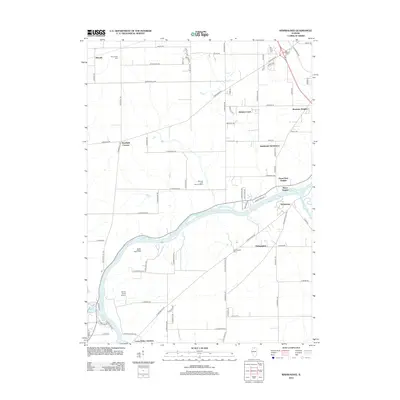
 1993 Rockford South1993 Print · USGSThe Rockford suburbs and the Kishwaukee riverfront are captured here in the early nineties, showing a mix of industrial expansion and preserved forest land. Researchers can trace local institutions like Starkey Cem and New Milford alongside the Chicago and North Western rail lines.
 - 2012 Map of Stillman Valley, 2012 Print
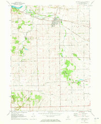
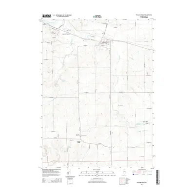
 2012 Stillman Valley2012 Print · USGSCovers Scott Township, including Byron, Stillman Valley, and other nearby areas
 - 2012 Map of Kishwaukee, 2012 Print
 2012 Kishwaukee2012 Print · USGSCovers Scott Township, including Rockford, Byron, and other nearby areas
 - 2012 Map of Kings, 2012 Print
 2012 Kings2012 Print · USGSCovers Scott Township, including Davis Junction, Monroe Center, and other nearby areas
 - 2012 Map of Rockford South, 2012 Print
 2012 Rockford South2012 Print · USGSCovers Scott Township, including Rockford, Davis Junction, and other nearby areas
 - 2015 Map of Rockford South, 2015 Print
 2015 Rockford South2015 Print · USGSCovers Scott Township, including Rockford, Davis Junction, and other nearby areas
 - 2015 Map of Kings, 2015 Print
 2015 Kings2015 Print · USGSCovers Scott Township, including Davis Junction, Monroe Center, and other nearby areas
 - 2015 Map of Stillman Valley, 2015 Print
 2015 Stillman Valley2015 Print · USGSCovers Scott Township, including Byron, Stillman Valley, and other nearby areas
 - 2015 Map of Kishwaukee, 2015 Print
 2015 Kishwaukee2015 Print · USGSCovers Scott Township, including Rockford, Byron, and other nearby areas
 - 2018 Map of Kings, 2018 Print
 2018 Kings2018 Print · USGSCovers Scott Township, including Davis Junction, Monroe Center, and other nearby areas
 - 2018 Map of Stillman Valley, 2018 Print
 2018 Stillman Valley2018 Print · USGSCovers Scott Township, including Byron, Stillman Valley, and other nearby areas
 - 2018 Map of Rockford South, 2018 Print
 2018 Rockford South2018 Print · USGSCovers Scott Township, including Rockford, Davis Junction, and other nearby areas
Showing maps 1-25 of 34
Top cities near Scott Township
- Rockford historical maps
- Belvidere historical maps
- Loves Park historical maps
- Machesney Park historical maps
- Rochelle historical maps
- Oregon historical maps
See more
Top neighborhoods of Scott Township
Frequently asked questions
- What are the different types of historical maps available for Scott Township?
- What is the oldest map of Scott Township?
- Where can I purchase historical maps of Scott Township for my home or office?
- Where can I download high-res historical maps of Scott Township?
- Are there historical topographic maps available for Scott Township?
- Is there historical aerial imagery available for Scott Township?
- Where are historical maps of Scott Township sourced from?