Old Maps of Chillicothe, Illinois for Hiking & Exploration
Hike through history with 26 historic maps of Chillicothe. Explore old trails, ghost towns, and forgotten backroads — perfect for outdoor adventurers and local explorers.
- Rediscover forgotten places: Map out old mining camps, roads, and footpaths that no longer exist on modern maps.
- Layer with modern tools: Combine with LiDAR or satellite views to plan hikes through historical terrain.
- Made for exploration: Popular among hikers, overlanders, and local history lovers.
Use these maps to find adventure and explore the hidden past of Chillicothe.
Chillicothe, IL maps
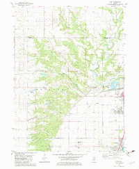
(26)- 1893 Map of Metamora
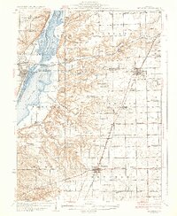
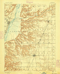 1893 Metamora1893 Print · USGSWoodford and Marshall counties are shown in the 1890s as the rail networks and river towns of the Illinois valley reached maturity. Researchers can trace the early footprints of Metamora, Washburn, and Rome alongside the path of the Chicago and Alton Railroad.4 unique versions available
 - 1893 Map of Dunlap
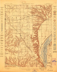
 1893 Dunlap1893 Print · USGSPeoria County and the Illinois River valley are seen here in the 1890s, when the region was a bustling network of rail towns and river bluffs. Genealogists can trace family roots in early settlements like Dunlap, Princeville, and the river community of Mossville.
 - 1898 Map of Dunlap
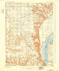
 1898 Dunlap1898 Print · USGSPeoria County and its neighboring townships thrive along the river bluffs and rail lines during the late 1890s. Researchers can trace the path of the Atchison Topeka and Santa Fe Railroad and locate vanished rural centers like Wady Petra and Orange Prairie.4 unique versions available
 - 1932 Map of Dunlap
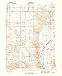
 1932 Dunlap1932 Print · USGSNorth of Peoria in the late nineteenth century, the prairie landscape was being reshaped by a dense network of competing rail lines. Trace old homesteads and vanished stops like Orange Prairie and Wady Petra along the Illinois River bluffs.
 - 1933 Map of Dunlap
 1933 Dunlap1933 Print · USGSPeoria County's agricultural heartland and river bluffs are captured here between the world wars, when coal mines and early airfields sat alongside rural hamlets. Family historians can locate dozens of country schools, family-named cemeteries like Dickison Cem, and the historic Evans Mill Bridge.
 - 1937 Map of Metamora
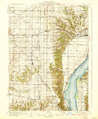
 1937 Metamora1937 Print · USGSThe Illinois River valley and its complex network of sloughs and lakes define this Depression-era portrait of Woodford and Marshall counties. You can trace early 20th-century rural life through dozens of named schoolhouses like Hytex Sch and local landmarks such as Lourdes Ch or the County Home.3 unique versions available
 - 1937 Map of Dunlap
 1937 Dunlap1937 Print · USGSPeoria County and its river bluffs are shown in the 1930s as a vital transportation hub of railroads and early airfields. Researchers can trace rural lineages through the many schools and burial grounds like Lawn Ridge Cem, Prospect Cem, and Hazel Dell Sch.3 unique versions available
 - 1948 Map of Metamora, 1965 Print
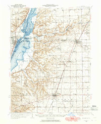 1948 Metamora1965 Print · USGSMid-century Woodford and Peoria Counties are captured here as the river-and-rail economy shaped the landscape. Genealogists can trace dozens of rural schoolhouses like Oakhill Sch and Maple Grove Sch, alongside historic sites like Lourdes Ch.
 - 1958 Map of Peoria, 1969 Print
 1958 Peoria1969 Print · USGSCentral Illinois thrived as a hub of education and transport during the late sixties, as the new interstate system began to reshape the prairie. Genealogists and historians can trace local landmarks like Springdale Cem, Bradley University, and the sprawling grounds of Chanute AFB.4 unique versions available
 - 1961 Map of Peoria
 1961 Peoria1961 Print · USGSCentral Illinois thrived at the intersection of river trade and rail power during the late fifties. Genealogists and local historians can trace the rail networks of the Illinois Central and Wabash, alongside landmarks like Chanute AFB and Weldon Springs State Park.
 - 1963 Map of Peoria
 1963 Peoria1963 Print · USGSCentral Illinois thrived as a rail and highway crossroads during the early sixties, centered on the bustling Illinois River valley. Genealogists and historians can trace the mid-century layout of Peoria, locate the grounds of Chanute Air Force Base, and follow historic lines like the Toledo Peoria and Western Railway.
 - 1972 Map of Chillicothe, 1974 Print
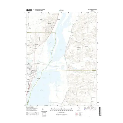
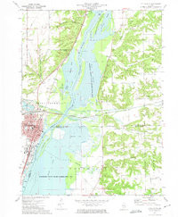 1972 Chillicothe1974 Print · USGSChillicothe and the Illinois River valley are captured in the early seventies as a major rail-and-river hub surrounded by expansive conservation wetlands. Genealogists can locate family landmarks such as Hammett Cem, New Salem Cem, and Lincoln Valley Central High Sch.2 unique versions available
 - 1982 Map of Rome, 1983 Print
 1982 Rome1983 Print · USGSPeoria County's river bluffs and agricultural plains are captured here in the early eighties as the riverfront communities expanded. Genealogists and historians can trace the foundations of North Hampton, locate family plots at Mooney Cem, and follow the path of the Atchison Topeka and Santa Fe railroad.
 - 1985 Map of Peoria
 1985 Peoria1985 Print · USGSThe Illinois River valley and the Tri-County area are captured here in the mid-1980s as industry and infrastructure reshaped the heart of the state. Researchers can trace the grounds of Jubilee College, locate the Stark Mine near Elmwood, or follow the busy tracks of the Norfolk and Western Railroad.
 - 1989 Map of Peoria
 1989 Peoria1989 Print · USGSThe Illinois River valley thrived as a regional center of industry, education, and transport during the late eighties. Researchers can trace the extensive rail networks of the Peoria and Pekin Union Railway or locate landmarks like Bradley University and the Peoria Air National Guard Base.
 - 1990 Map of Peoria
 1990 Peoria1990 Print · USGSCentral Illinois at the start of the nineties reveals a landscape of industrial river towns and sprawling university campuses. Researchers can trace the legacy of major institutions like Chanute Air Force Base and the University of Illinois alongside regional landmarks such as Sand Ridge State Forest.
 - 2012 Map of Chillicothe, 2012 Print
 2012 Chillicothe2012 Print · USGSCovers Chillicothe, including Hopewell, Coughlin, and other nearby areas
 - 2012 Map of Rome, 2012 Print
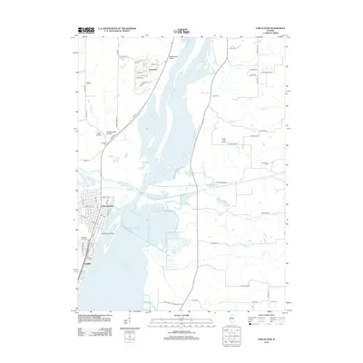
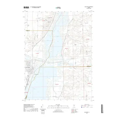
 2012 Rome2012 Print · USGSCovers Chillicothe, including North Hampton, Rome, and other nearby areas
 - 2015 Map of Rome, 2015 Print
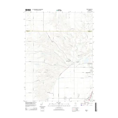 2015 Rome2015 Print · USGSCovers Chillicothe, including North Hampton, Rome, and other nearby areas
 - 2015 Map of Chillicothe, 2015 Print
 2015 Chillicothe2015 Print · USGSCovers Chillicothe, including Hopewell, Coughlin, and other nearby areas
 - 2018 Map of Rome, 2018 Print
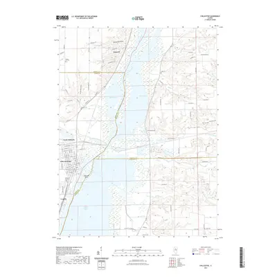
 2018 Rome2018 Print · USGSCovers Chillicothe, including North Hampton, Rome, and other nearby areas
 - 2018 Map of Chillicothe, 2018 Print
 2018 Chillicothe2018 Print · USGSCovers Chillicothe, including Hopewell, Coughlin, and other nearby areas
 - 2021 Map of Chillicothe, 2021 Print
 2021 Chillicothe2021 Print · USGSCovers Chillicothe, including Hopewell, Coughlin, and other nearby areas
 - 2021 Map of Rome, 2021 Print
 2021 Rome2021 Print · USGSCovers Chillicothe, including North Hampton, Rome, and other nearby areas
 - 2024 Map of Rome, 2024 Print
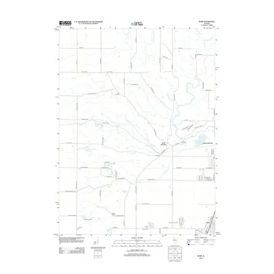
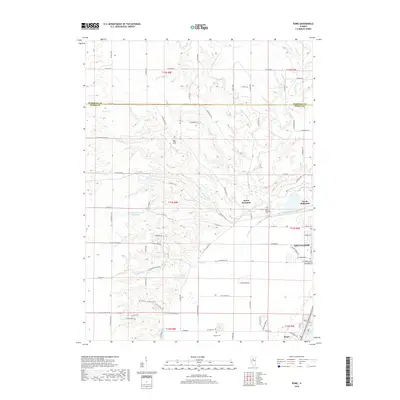
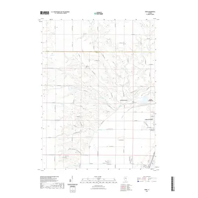
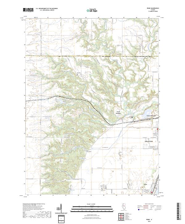 2024 Rome2024 Print · USGSAlong the Illinois River valley in the early twenty-first century, this area shows a blend of growing townships and deep creek hollows. Family historians can pinpoint Blue Ridge Cemetery or trace the drainage of Little Senachwine Creek near North Hampton.
Showing maps 1-25 of 26
Top cities near Chillicothe
- Peoria historical maps
- East Peoria historical maps
- Washington historical maps
- Eureka historical maps
- West Peoria historical maps
- Metamora historical maps
See more
Frequently asked questions
- What are the different types of historical maps available for Chillicothe?
- What is the oldest map of Chillicothe?
- Where can I purchase historical maps of Chillicothe for my home or office?
- Where can I download high-res historical maps of Chillicothe?
- Are there historical topographic maps available for Chillicothe?
- Is there historical aerial imagery available for Chillicothe?
- Where are historical maps of Chillicothe sourced from?