Old Maps of Bodmann, Illinois for Hiking & Exploration
Hike through history with 12 historic maps of Bodmann. Explore old trails, ghost towns, and forgotten backroads — perfect for outdoor adventurers and local explorers.
- Rediscover forgotten places: Map out old mining camps, roads, and footpaths that no longer exist on modern maps.
- Layer with modern tools: Combine with LiDAR or satellite views to plan hikes through historical terrain.
- Made for exploration: Popular among hikers, overlanders, and local history lovers.
Use these maps to find adventure and explore the hidden past of Bodmann.
Bodmann, IL maps
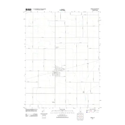
(12)- 1955 Map of Bement, 1956 Print
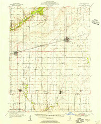 1955 Bement1956 Print · USGSCentral Illinois prairie life revolved around rail junctions and rural townships in the mid-1950s. Genealogists can trace family footprints at Willow Branch Cem or Asbury Ch, while following the lines of the Wabash and Baltimore and Ohio railroads.2 unique versions available
 - 1958 Map of Decatur, 1971 Print
 1958 Decatur1971 Print · USGSCentral Illinois in the mid-twentieth century shows a landscape defined by industrial rail hubs and the creation of large reservoirs. Researchers can trace historic corridors like the Penn Central or locate landmarks such as Lincoln Log Cabin State Park and Lake Springfield.3 unique versions available
 - 1961 Map of Decatur
 1961 Decatur1961 Print · USGSCentral Illinois in the late fifties was a bustling corridor of rail lines and prairie commerce centered on the state capital. Genealogists and historians can trace the intricate connections between Springfield, Decatur, and dozens of smaller settlements like Nokomis and Arcola.2 unique versions available
 - 1975 Map of Bement NE, 1977 Print
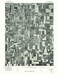 1975 Bement NE1977 Print · USGSPiatt County farmland and the village of Bement are captured in this mid-1970s aerial study. Researchers can examine the town's residential footprint at Bement and trace the original field patterns along the winding Lake Fork.
 - 1983 Map of Bement
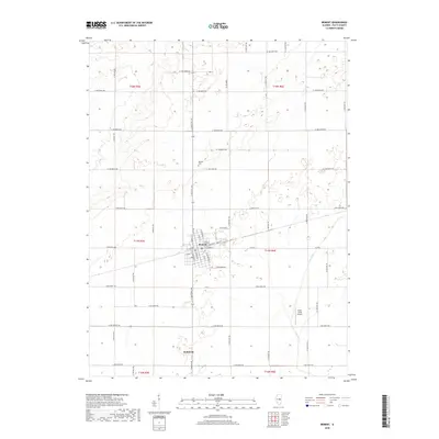
 1983 Bement1983 Print · USGSCentral Illinois farmland surrounds the village of Bement in the early eighties, showcasing a landscape shaped by rail and drainage. Trace local history at the Bement Cem and follow the Norfolk and Western line across the prairie.
 - 1985 Map of Decatur
 1985 Decatur1985 Print · USGSCentral Illinois farming and rail hubs thrive in the mid-1980s as Decatur anchors a sprawling network of track and timber. Trace the paths of the Sangamon River and the Illinois Central Gulf RR through old towns like Cerro Gordo and Bement.2 unique versions available
 - 1998 Map of Bement, 2003 Print
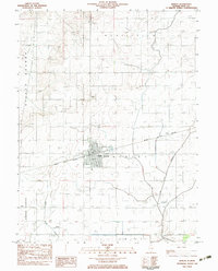
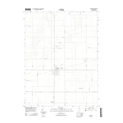
 1998 Bement2003 Print · USGSBement and the surrounding Piatt County prairie are captured here at the close of the twentieth century. Researchers can trace land use from Allerton State Park to the village center, including landmarks like Bement Cem and Wilson Park.
 - 2012 Map of Bement, 2012 Print
 2012 Bement2012 Print · USGSCovers Bodmann, including Bement, Piatt, and other nearby areas
 - 2015 Map of Bement, 2015 Print
 2015 Bement2015 Print · USGSCovers Bodmann, including Bement, Piatt, and other nearby areas
 - 2018 Map of Bement, 2018 Print
 2018 Bement2018 Print · USGSCovers Bodmann, including Bement, Piatt, and other nearby areas
 - 2021 Map of Bement, 2021 Print
 2021 Bement2021 Print · USGSCovers Bodmann, including Bement, Piatt, and other nearby areas
 - 2024 Map of Bement, 2024 Print
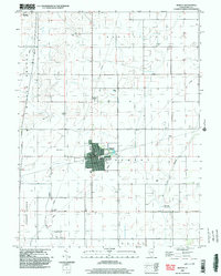
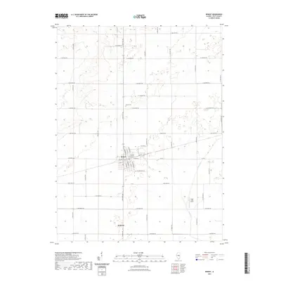
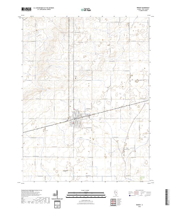 2024 Bement2024 Print · USGSBement and the surrounding Piatt County prairie are captured in this recent survey, showcasing the enduring grid of central Illinois farm country. Researchers can trace the village street plan from Park Cir to Bement Cem, or locate the Triple Creek Airport along Lake Fork.
End of results
Showing maps 1-12 of 12
Top cities near Bodmann
- Decatur historical maps
- Monticello historical maps
- Bement historical maps
- Cerro Gordo historical maps
- Lovington historical maps
- Hammond historical maps
See more
Frequently asked questions
- What are the different types of historical maps available for Bodmann?
- What is the oldest map of Bodmann?
- Where can I purchase historical maps of Bodmann for my home or office?
- Where can I download high-res historical maps of Bodmann?
- Are there historical topographic maps available for Bodmann?
- Is there historical aerial imagery available for Bodmann?
- Where are historical maps of Bodmann sourced from?