
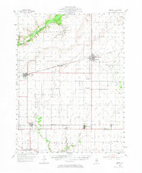
1955 Map of Bement
USGS Topo · Published 1956About this map
The Sangamon River and its accompanying Willow Branch drainage define the northern landscape of this central Illinois territory. At the mid-century mark, the region is characterized by a dense grid of agricultural townships including Cerro Gordo, Unity, and Lovington. The rail network serves as the primary economic skeleton, with the Wabash and Illinois Terminal lines converging at Bement, while the Baltimore and Ohio and Pennsylvania railroads service southern settlements like Hammond and Lake City.
Find a feature on this map
47 named features on this map. Tap any name to fly to it.
Don’t see what you’re looking for? This feature index may not catch every label — zoom into the map to look around manually.
Map Details
Editions of this 1955 Bement Map
2 editions found
Other maps of this area

1907 · Mahomet
USGS Topo · 1:62,500

1929 · Decatur
USGS Topo · 1:62,500

1933 · Decatur
USGS Topo · 1:62,500

1935 · Arcola
USGS Topo · 1:48,000

1935 · Sullivan
USGS Topo · 1:48,000

1937 · Monticello
USGS Topo · 1:48,000

1940 · Sullivan
USGS Topo · 1:62,500

1940 · Arcola
USGS Topo · 1:62,500

1943 · Monticello
USGS Topo · 1:62,500

1949 · Dalton City
USGS Topo · 1:62,500