
Historical Maps of Macon County, Illinois
What stories do these 76 old maps tell about Macon County's past? From 1929 to present day, these maps reveal the evolution of streets, neighborhoods, iconic landmarks, and natural features in stunning high-res detail. Whether you're a history enthusiast, genealogist, or professional in education, environmental work, or architecture, these maps are perfect for exploration, research, and discovery.
Discover Macon County's history through maps:
- Trace Macon County's growth: Explore earlier and latest maps and editions to uncover how the region changed over time.
- Examine technical details: Each map includes its creators, publishers, scale, dimensions, and full source information.
- Layer maps with modern tools & imagery: Compare historical maps to modern-day with high-resolution satellite imagery and detailed LiDAR layers.
- Sourced from trusted archives: Carefully preserved and digitized by institutions like the United Stated Geological Survey and the US Library of Congress.
- Access in any format: View and explore in high resolution, download for offline use, or order a museum-quality print for yourself or a loved one.
Begin your journey into Macon County's history with these remarkable must-see maps.
Macon County, IL maps
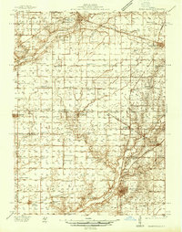
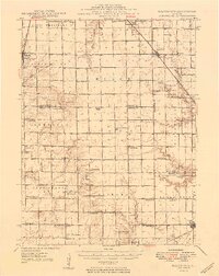
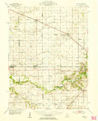
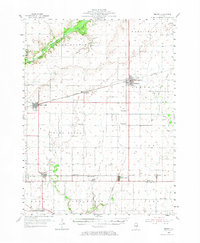
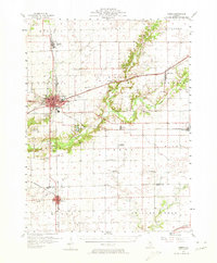
(76)- 1929 Map of Decatur, 1965 Print
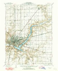 1929 Decatur1965 Print · USGSCovers Macon County, including Decatur, Mount Zion, and other nearby areas
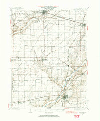
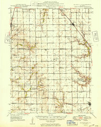
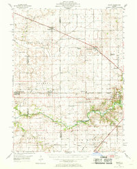
 - 1933 Map of Decatur
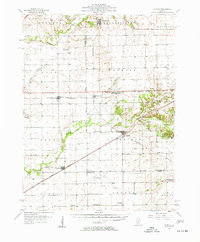
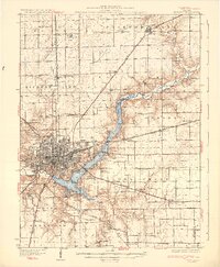 1933 Decatur1933 Print · USGSCovers Macon County, including Decatur, Mount Zion, and other nearby areas
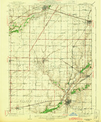
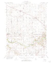
 - 1933 Map of Decatur
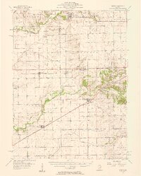
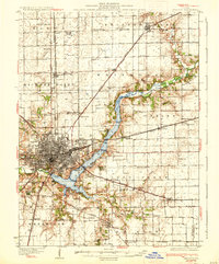 1933 Decatur1933 Print · USGSCovers Macon County, including Decatur, Mount Zion, and other nearby areas
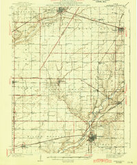
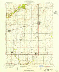
 - 1933 Map of Decatur, 1950 Print
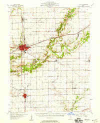
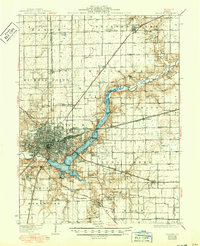 1933 Decatur1950 Print · USGSCovers Macon County, including Decatur, Mount Zion, and other nearby areas
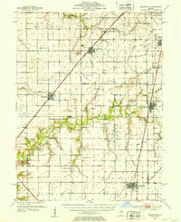
 - 1937 Map of Monticello
 1937 Monticello1937 Print · USGSCovers Macon County, including Monticello, Farmer City, and other nearby areas
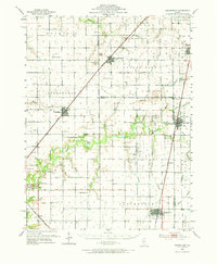
 - 1937 Map of Monticello, 1965 Print
 1937 Monticello1965 Print · USGSCovers Macon County, including Monticello, Farmer City, and other nearby areas
 - 1943 Map of Monticello
 1943 Monticello1943 Print · USGSCovers Macon County, including Monticello, Farmer City, and other nearby areas
 - 1943 Map of Monticello
 1943 Monticello1943 Print · USGSCovers Macon County, including Monticello, Farmer City, and other nearby areas
 - 1949 Map of Dalton City
 1949 Dalton City1949 Print · USGSCovers Macon County, including Moweaqua, Bethany, and other nearby areas
 - 1949 Map of Dalton City
 1949 Dalton City1949 Print · USGSCovers Macon County, including Moweaqua, Bethany, and other nearby areas
 - 1952 Map of Assumption, 1953 Print
 1952 Assumption1953 Print · USGSCovers Macon County, including Taylorville, Moweaqua, and other nearby areas
 - 1952 Map of Assumption, 1973 Print
 1952 Assumption1973 Print · USGSCovers Macon County, including Taylorville, Moweaqua, and other nearby areas
 - 1954 Map of Niantic, 1955 Print
 1954 Niantic1955 Print · USGSCovers Macon County, including Decatur, Harristown, and other nearby areas
 - 1954 Map of Niantic, 1969 Print
 1954 Niantic1969 Print · USGSCovers Macon County, including Decatur, Harristown, and other nearby areas
 - 1954 Map of Niantic, 1984 Print
 1954 Niantic1984 Print · USGSCovers Macon County, including Decatur, Harristown, and other nearby areas
 - 1955 Map of Bement, 1956 Print
 1955 Bement1956 Print · USGSCovers Macon County, including Bement, Cerro Gordo, and other nearby areas
 - 1955 Map of Bement, 1973 Print
 1955 Bement1973 Print · USGSCovers Macon County, including Bement, Cerro Gordo, and other nearby areas
 - 1957 Map of Kenney, 1958 Print
 1957 Kenney1958 Print · USGSCovers Macon County, including Tunbridge, Waynesville, and other nearby areas
 - 1957 Map of Kenney, 1958 Print
 1957 Kenney1958 Print · USGSCovers Macon County, including Tunbridge, Waynesville, and other nearby areas
 - 1957 Map of Maroa, 1958 Print
 1957 Maroa1958 Print · USGSCovers Macon County, including Clinton, Maroa, and other nearby areas
 - 1957 Map of Maroa, 1974 Print
 1957 Maroa1974 Print · USGSCovers Macon County, including Clinton, Maroa, and other nearby areas
 - 1958 Map of Peoria, 1969 Print
 1958 Peoria1969 Print · USGSCovers Macon County, including Peoria, Champaign, and other nearby areas
 - 1958 Map of Decatur, 1971 Print
 1958 Decatur1971 Print · USGSCovers Macon County, including Springfield, Decatur, and other nearby areas
 - 1958 Map of Peoria, 1973 Print
 1958 Peoria1973 Print · USGSCovers Macon County, including Peoria, Champaign, and other nearby areas
 - 1958 Map of Decatur, 1977 Print
 1958 Decatur1977 Print · USGSCovers Macon County, including Springfield, Decatur, and other nearby areas
Showing maps 1-25 of 76
Top cities in Macon County
- Decatur historical maps
- Mount Zion historical maps
- Forsyth historical maps
- Maroa historical maps
- Long Creek historical maps
- Harristown historical maps
See more
Frequently asked questions
- What are the different types of historical maps available for Macon County?
- What is the oldest map of Macon County?
- Where can I purchase historical maps of Macon County for my home or office?
- Where can I download high-res historical maps of Macon County?
- Are there historical topographic maps available for Macon County?
- Is there historical aerial imagery available for Macon County?
- Where are historical maps of Macon County sourced from?