Loading...
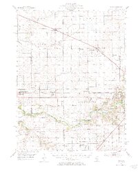
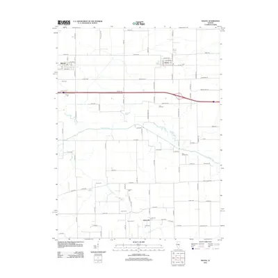
Loading map...1954 Map of Niantic
USGS Topo · Published 1984About this map
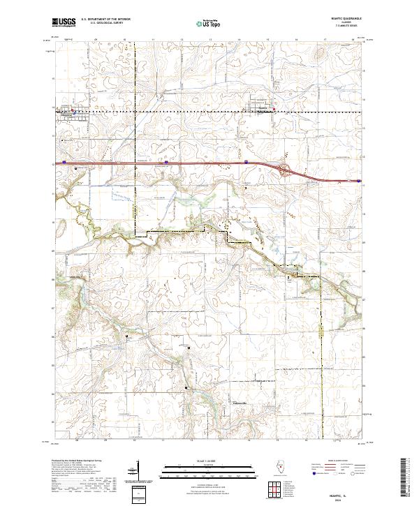
Lincoln Homestead Memorial Park and the meandering Sangamon River anchor this mid-century survey of the Central Illinois prairie. The landscape is defined by its transit history, showing the Illinois Central, Wabash, and Baltimore and Ohio railroads connecting agricultural hubs like Latham, Warrensburg, and Niantic. A dense network of local landmarks provides significant value for genealogical research, including family-named sites like Muirheid Cem and Hudelson Cem.
Find a feature on this map
76 named features on this map. Tap any name to fly to it.
Don’t see what you’re looking for? This feature index may not catch every label — zoom into the map to look around manually.
Map Details
Date Portrayed1954
Date Published1984
PublisherU.S. Geological Survey
Map TypeTopographic
Scale1:62,500
Physical Dimensions17.42 x 21.79 inches
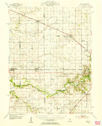
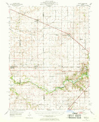
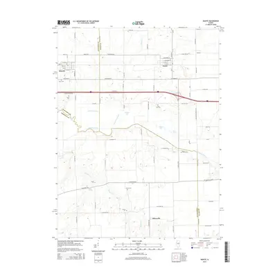
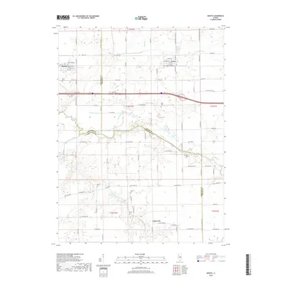
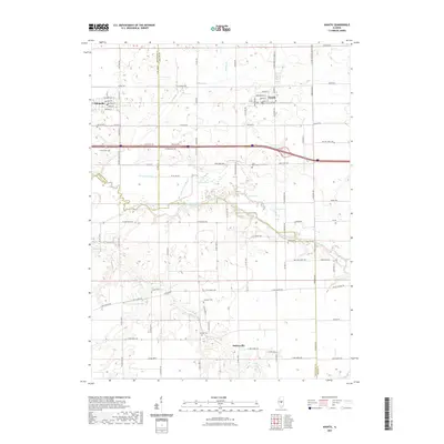
Editions of this 1954 Niantic Map
3 editions found
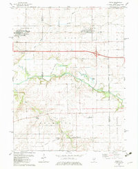
Historical Maps of Decatur Through Time
7 maps found
Featured Locations
Source Details
SourceU.S. Geological Survey
CopyrightPublic Domain