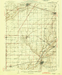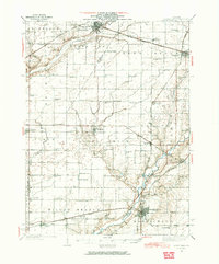
1937 Map of Monticello
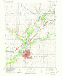
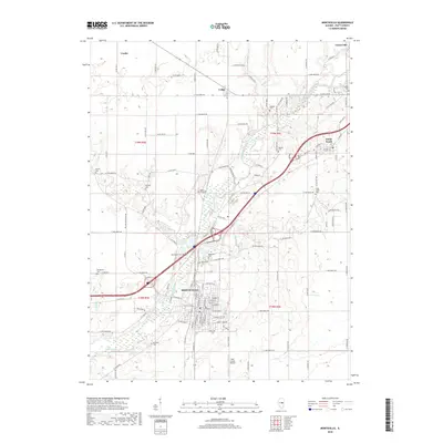
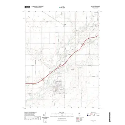
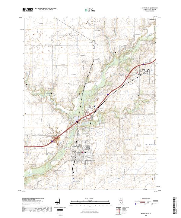
USGS Topo · Published 1965About this map
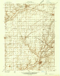
The Sangamon River and Salt Creek define the drainage of this central Illinois prairie landscape, where established townships like Blue Ridge and Goose Creek were defined by a dense network of one-room schoolhouses. During the late 1930s, agricultural life centered around rail hubs such as Farmer City, Mansfield, and Monticello, which served as critical shipping points for the surrounding farms. The Illinois Central and Wabash railroads create a distinct infrastructure that dictates the placement of smaller settlements like White Heath and Lodge. Local genealogists will find significant value in the distribution of rural landmarks, including the Fullerton Ch and family-linked burial grounds like Woodman Cem and Greenleaf Cem. The map's high density of named schools, from Klinger Sch to Champion Sch, illustrates the organized township structure of Piatt and De Witt Counties before the mid-century consolidation of rural school districts.
Find a feature on this map
81 named features on this map. Tap any name to fly to it.
Don’t see what you’re looking for? This feature index may not catch every label — zoom into the map to look around manually.
Map Details
Editions of this 1937 Monticello Map
2 editions found
Historical Maps of Monticello Through Time
8 maps found