
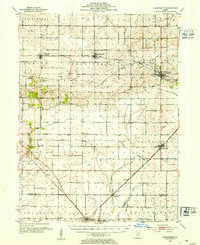
1952 Map of Arrowsmith
USGS Topo · Published 1952About this map
The Sangamon River and the North Fork Salt Creek define the central Illinois drainage in this mid-century landscape of McLean and De Witt Counties. The area is dominated by an extensive rail network, including the New York Central, the Chicago and St Louis, and the Illinois Central, which connected agricultural hubs like Saybrook and Farmer City to broader markets. Small-scale communities like Arrowsmith and Bellflower serve as focal points for local genealogy and history, surrounded by rural landmarks such as Prairie Chapel and the Le Roy Sch. Local heritage is further preserved through numerous family and community burial grounds, including Greenwood Cem, Riverside Cem, and the Dawson Cem. The survey also documents the distinct elevation of Blue Mound and the winding course of Money Creek in the northwest.
Find a feature on this map
49 named features on this map. Tap any name to fly to it.
Don’t see what you’re looking for? This feature index may not catch every label — zoom into the map to look around manually.
Map Details
Editions of this 1952 Arrowsmith Map
2 editions found
Other maps of this area

1907 · Mahomet
USGS Topo · 1:62,500

1926 · Normal
USGS Topo · 1:62,500

1928 · Gibson City
USGS Topo · 1:62,500

1930 · Normal
USGS Topo · 1:62,500

1937 · Monticello
USGS Topo · 1:48,000

1943 · Monticello
USGS Topo · 1:62,500

1947 · Sibley
USGS Topo · 1:62,500

1949 · Sibley
USGS Topo · 1:62,500

1951 · Le Roy
USGS Topo · 1:62,500

1957 · Gibson City
USGS Topo · 1:62,500