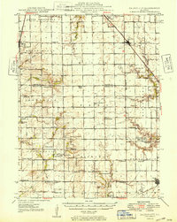
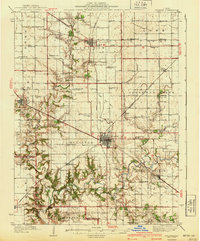
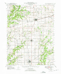
1949 Map of Dalton City
USGS Topo · Published 1949About this map
Dalton City and the agricultural lands of central Illinois appear here in a post-war landscape defined by deep-rooted family names and a dense network of country schools. The survey records a remarkable density of one-room schoolhouses, including Penn Consolidated Sch, Ocean Wave Sch, and Cropper Sch, reflecting the township-based education system before widespread district consolidation. This era also highlights specialized landmarks like the Eastern Star Sanitarium near Macon and a local Landing Field south of town, signaling the arrival of small-scale aviation alongside traditional transport. Spiritual and community life centers on structures like Sanner Chapel and the Town Hall, while the economy is tied to the movement of grain along the Illinois Central and Chicago & Eastern Illinois railroads, which stitch together settlements like Findlay and Todds Point.
Find a feature on this map
62 named features on this map. Tap any name to fly to it.
Don’t see what you’re looking for? This feature index may not catch every label — zoom into the map to look around manually.
Map Details
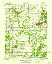
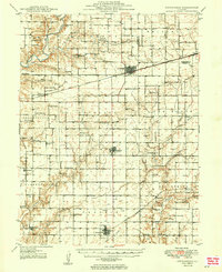
Editions of this 1949 Dalton City Map
2 editions found
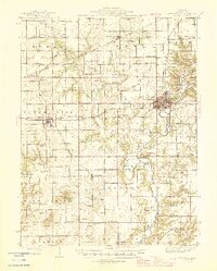
Other maps of this area
1929 · Decatur
USGS Topo · 1:62,500
1933 · Decatur
USGS Topo · 1:62,500
1935 · Sullivan
USGS Topo · 1:48,000
1940 · Sullivan
USGS Topo · 1:62,500
1942 · Shelbyville
USGS Topo · 1:62,500
1946 · Shelbyville
USGS Topo · 1:62,500
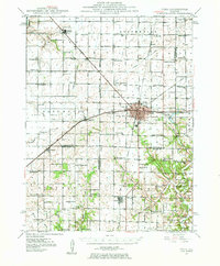
1947 · Pana
USGS Topo · 1:62,500
1947 · Stewardson
USGS Topo · 1:62,500
1949 · Stewardson
USGS Topo · 1:62,500
1949 · Dalton City
USGS Topo · 1:62,500