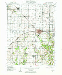
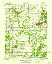
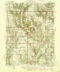
1947 Map of Pana
USGS Topo · Published 1947About this map
The Pana region in the late 1940s is defined by a dense intersection of rail commerce, where the Baltimore and Ohio, New York Central, and Chicago and Eastern Illinois railroads converge. This transit hub supports an agricultural landscape of Christian, Montgomery, and Shelby counties, punctuated by an exceptional density of rural schoolhouses and local landmarks. To the east, Lake Pana and Mount Victory School sit near the edge of the Tower Hill township, while the southwestern corner features the elevation of Oconee Mound.
Find a feature on this map
92 named features on this map. Tap any name to fly to it.
Don’t see what you’re looking for? This feature index may not catch every label — zoom into the map to look around manually.
Map Details
Editions of this 1947 Pana Map
This is the sole edition of this map. No revisions or reprints were ever made.
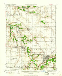
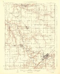
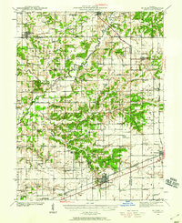
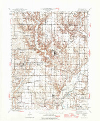
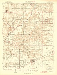
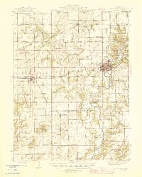
Other maps of this area
1923 · Taylorville
USGS Topo · 1:62,500
1925 · Taylorville
USGS Topo · 1:62,500
1941 · St. Elmo
USGS Topo · 1:62,500
1942 · Shelbyville
USGS Topo · 1:62,500
1944 · Ramsey
USGS Topo · 1:62,500
1945 · St. Elmo
USGS Topo · 1:62,500
1946 · Shelbyville
USGS Topo · 1:62,500
1946 · Ramsey
USGS Topo · 1:62,500
1946 · Nokomis
USGS Topo · 1:62,500
1947 · Hillsboro
USGS Topo · 1:62,500