
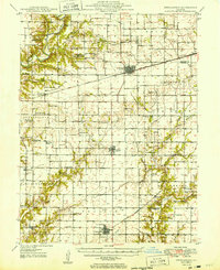
1949 Map of Stewardson
USGS Topo · Published 1949About this map
The Kaskaskia River winds through the northwestern corner of this landscape, a region defined by its productive prairie soils and dense network of rural institutions in the late 1940s. The area is anchored by the rail towns of Windsor, Strasburg, and Stewardson, all situated along the New York Central and St Louis RR. This rail corridor and the parallel New York Central RR further north supported a grain-based economy that is evidenced by the numerous named schools and churches serving small farming communities.
Find a feature on this map
71 named features on this map. Tap any name to fly to it.
Don’t see what you’re looking for? This feature index may not catch every label — zoom into the map to look around manually.
Map Details
Editions of this 1949 Stewardson Map
2 editions found
Other maps of this area

1934 · Mattoon
USGS Topo · 1:62,500

1935 · Arcola
USGS Topo · 1:48,000

1935 · Sullivan
USGS Topo · 1:48,000

1937 · Mattoon
USGS Topo · 1:62,500

1940 · Sullivan
USGS Topo · 1:62,500

1940 · Arcola
USGS Topo · 1:62,500

1941 · St. Elmo
USGS Topo · 1:62,500

1942 · Shelbyville
USGS Topo · 1:62,500

1945 · St. Elmo
USGS Topo · 1:62,500

1946 · Shelbyville
USGS Topo · 1:62,500