
1952 Map of Assumption
USGS Topo · Published 1953About this map
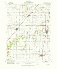
Blue Mound, Stonington, and Moweaqua serve as the primary rail-connected hubs across this Central Illinois landscape, which was mapped following aerial surveys in 1950. The region is defined by its extensive agricultural drainage network, where Mosquito Creek and the Flat Branch meander through the prairie. For genealogists, the map is particularly rich in family-named landmarks and rural institutions, including the Old Stonington Ch and its adjacent Old Stonington Cem, alongside smaller burial grounds like Adams Cem and Traughber Cem.
Find a feature on this map
67 named features on this map. Tap any name to fly to it.
Don’t see what you’re looking for? This feature index may not catch every label — zoom into the map to look around manually.
Map Details
Editions of this 1952 Assumption Map
2 editions found
Other maps of this area

1923 · Taylorville
USGS Topo · 1:62,500

1925 · Taylorville
USGS Topo · 1:62,500

1929 · Decatur
USGS Topo · 1:62,500

1933 · Decatur
USGS Topo · 1:62,500

1942 · Shelbyville
USGS Topo · 1:62,500

1946 · Shelbyville
USGS Topo · 1:62,500

1946 · Nokomis
USGS Topo · 1:62,500

1947 · Pana
USGS Topo · 1:62,500

1949 · Dalton City
USGS Topo · 1:62,500

1949 · Nokomis
USGS Topo · 1:62,500