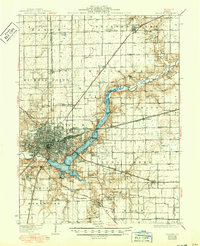
1933 Map of Decatur
USGS Topo · Published 1950About this map
The Sangamon River valley and its expansion into Lake Decatur dominate this central Illinois landscape, captured as the region matured into an industrial and aviation hub. The city of Decatur is shown with its dense urban grid, flanked by the Military Res and Graceland Cem. The extensive shoreline of the lake is marked by recreational landmarks like Nelson Park, the Municipal Beach, and the Decatur Country Club, illustrating the river's transformation into a civic centerpiece.
Find a feature on this map
84 named features on this map. Tap any name to fly to it.
Don’t see what you’re looking for? This feature index may not catch every label — zoom into the map to look around manually.
Map Details
Editions of this 1933 Decatur Map
3 editions found
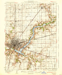
Other maps of this area

1929 · Decatur
USGS Topo · 1:62,500

1933 · Decatur
USGS Topo · 1:62,500

1935 · Sullivan
USGS Topo · 1:48,000

1937 · Monticello
USGS Topo · 1:48,000

1940 · Sullivan
USGS Topo · 1:62,500

1943 · Monticello
USGS Topo · 1:62,500

1949 · Dalton City
USGS Topo · 1:62,500

1952 · Assumption
USGS Topo · 1:62,500

1954 · Niantic
USGS Topo · 1:62,500

1955 · Bement
USGS Topo · 1:62,500