Old Maps of Cerro Gordo, Illinois for Academic Research
Study the evolution of Cerro Gordo with 11 high-resolution historic maps. Whether you're teaching, researching, or modeling changes in land use, these maps provide essential visual documentation of urban, environmental, and geographic change.
- Analyze long-term change: Track patterns in development, transportation, and natural features.
- Ideal for environmental or urban studies: Support academic projects with primary historical map data.
- Use in the classroom or lab: Educators and researchers rely on these maps to bring historical context to life.
These maps are a powerful tool for teaching, research, and visualizing how Cerro Gordo has changed over the decades.
Cerro Gordo, IL maps
(11)- 1955 Map of Bement, 1956 Print
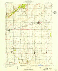 1955 Bement1956 Print · USGSCentral Illinois prairie life revolved around rail junctions and rural townships in the mid-1950s. Genealogists can trace family footprints at Willow Branch Cem or Asbury Ch, while following the lines of the Wabash and Baltimore and Ohio railroads.2 unique versions available
 - 1958 Map of Decatur, 1971 Print
 1958 Decatur1971 Print · USGSCentral Illinois in the mid-twentieth century shows a landscape defined by industrial rail hubs and the creation of large reservoirs. Researchers can trace historic corridors like the Penn Central or locate landmarks such as Lincoln Log Cabin State Park and Lake Springfield.3 unique versions available
 - 1961 Map of Decatur
 1961 Decatur1961 Print · USGSCentral Illinois in the late fifties was a bustling corridor of rail lines and prairie commerce centered on the state capital. Genealogists and historians can trace the intricate connections between Springfield, Decatur, and dozens of smaller settlements like Nokomis and Arcola.2 unique versions available
 - 1983 Map of Cerro Gordo
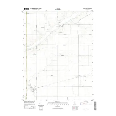
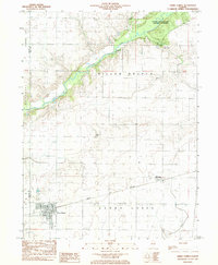 1983 Cerro Gordo1983 Print · USGSThe Illinois prairie of the 1980s is captured here at the Macon and Piatt county line, where the Norfolk and Western rail line links rural communities. Genealogists can locate several family burial grounds, including Pioneer Cem and Willow Branch Cem, near the banks of the Sangamon River.
 - 1985 Map of Decatur
 1985 Decatur1985 Print · USGSCentral Illinois farming and rail hubs thrive in the mid-1980s as Decatur anchors a sprawling network of track and timber. Trace the paths of the Sangamon River and the Illinois Central Gulf RR through old towns like Cerro Gordo and Bement.2 unique versions available
 - 1999 Map of Cerro Gordo, 2003 Print
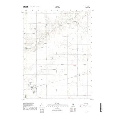
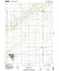 1999 Cerro Gordo2003 Print · USGSCentral Illinois prairie and river bottomlands converge in the late nineties, documenting the landscape near the Macon-Piatt county line. Researchers can locate family burial sites like Cronninger Cem and Pioneer Cem or trace the rural settlement of Milmine.
 - 2012 Map of Cerro Gordo, 2012 Print
 2012 Cerro Gordo2012 Print · USGSCovers Cerro Gordo, including Milmine, Macon County, and other nearby areas
 - 2015 Map of Cerro Gordo, 2015 Print
 2015 Cerro Gordo2015 Print · USGSCovers Cerro Gordo, including Milmine, Macon County, and other nearby areas
 - 2018 Map of Cerro Gordo, 2018 Print
 2018 Cerro Gordo2018 Print · USGSCovers Cerro Gordo, including Milmine, Macon County, and other nearby areas
 - 2021 Map of Cerro Gordo, 2021 Print
 2021 Cerro Gordo2021 Print · USGSCovers Cerro Gordo, including Milmine, Macon County, and other nearby areas
 - 2024 Map of Cerro Gordo, 2024 Print
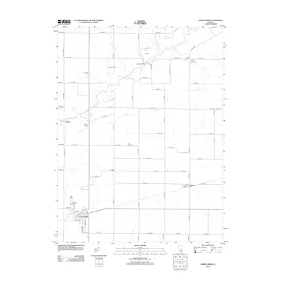
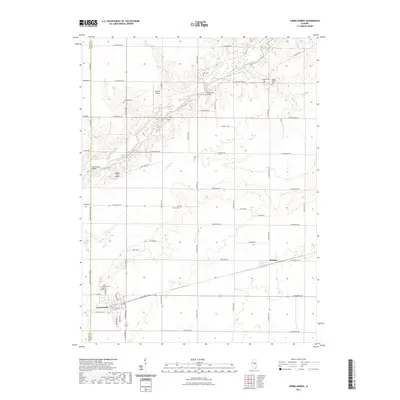
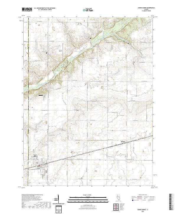 2024 Cerro Gordo2024 Print · USGSThe fertile prairie of Piatt and Macon Counties is shown here in the 2020s, centered on the historic rail corridor between Cerro Gordo and Milmine. Genealogists can locate several local burial sites including Ater Cem and Willow Branch Cem along the winding Sangamon River.
End of results
Showing maps 1-11 of 11
Top cities near Cerro Gordo
- Decatur historical maps
- Monticello historical maps
- Mount Zion historical maps
- Forsyth historical maps
- Bement historical maps
- Maroa historical maps
See more
Frequently asked questions
- What are the different types of historical maps available for Cerro Gordo?
- What is the oldest map of Cerro Gordo?
- Where can I purchase historical maps of Cerro Gordo for my home or office?
- Where can I download high-res historical maps of Cerro Gordo?
- Are there historical topographic maps available for Cerro Gordo?
- Is there historical aerial imagery available for Cerro Gordo?
- Where are historical maps of Cerro Gordo sourced from?