Old Maps of Baylis, Illinois for Hiking & Exploration
Hike through history with 12 historic maps of Baylis. Explore old trails, ghost towns, and forgotten backroads — perfect for outdoor adventurers and local explorers.
- Rediscover forgotten places: Map out old mining camps, roads, and footpaths that no longer exist on modern maps.
- Layer with modern tools: Combine with LiDAR or satellite views to plan hikes through historical terrain.
- Made for exploration: Popular among hikers, overlanders, and local history lovers.
Use these maps to find adventure and explore the hidden past of Baylis.
Baylis, IL maps
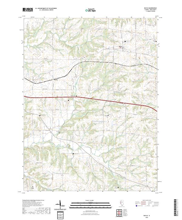
(12)- 1926 Map of Pittsfield
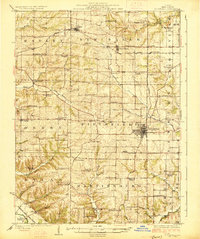 1926 Pittsfield1926 Print · USGSPike County in the mid-twenties is a landscape of thriving rural school districts and small rail-side hamlets. Genealogists can locate family schoolhouses like Philadelphia School and Walnut Grove School or trace the early paths of the Wabash railroad through Pittsfield and Dutton.3 unique versions available
 - 1948 Map of Quincy
 1948 Quincy1948 Print · USGSThe Mississippi and Illinois River valleys are captured at a post-war crossroads as rail and river travel met the expanding highway system. Genealogists can trace family settlements from Quincy to Hannibal and smaller towns like Vandalia and Jerseyville.2 unique versions available
 - 1956 Map of Quincy, 1967 Print
 1956 Quincy1967 Print · USGSThe river and rail corridors of the Illinois-Missouri border are documented here during the mid-1950s. Researchers can trace historic river landings and regional transit hubs from Quincy and Hannibal to smaller settlements like Meredosia and Roodhouse.3 unique versions available
 - 1981 Map of Baylis
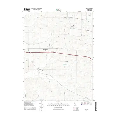
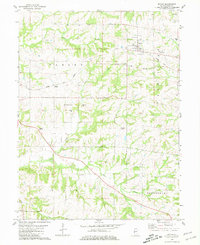 1981 Baylis1981 Print · USGSPike County in the early eighties shows a landscape of rail-dependent towns and dispersed family cemeteries. Genealogists can trace rural family roots at Starkey Cem or McWorter Cem, and follow the Old Railroad Grade near Baylis.
 - 1985 Map of Meredosia, 1988 Print
 1985 Meredosia1988 Print · USGSWest Central Illinois in the mid-eighties was a landscape of deep-rooted river towns and historic educational institutions. Genealogists and historians can trace family ties through Diamond Grove Cem, locate MacMurray College in Jacksonville, or study the river engineering at La Grange Lock and Dam.
 - 1990 Map of Meredosia
 1990 Meredosia1990 Print · USGSThe Illinois River valley and its surrounding farm towns are captured here in the 1990s. Trace the intricate rail lines of the Norfolk Southern Railway and find local landmarks like Diamond Grove Cem or the Meredosia National Wildlife Refuge.
 - 1998 Map of Baylis, 2001 Print
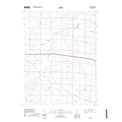
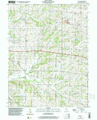 1998 Baylis2001 Print · USGSPike County's rural townships and small settlements are mapped here in the late 1990s as the regional rail economy transitioned. Researchers can pinpoint numerous family burial grounds like Starkey Cem and Johnson Cem or trace the Norfolk and Western Railroad Grade.
 - 2012 Map of Baylis, 2012 Print
 2012 Baylis2012 Print · USGSCovers Baylis, including Hadley, El Dara, and other nearby areas
 - 2015 Map of Baylis, 2015 Print
 2015 Baylis2015 Print · USGSCovers Baylis, including Hadley, El Dara, and other nearby areas
 - 2018 Map of Baylis, 2018 Print
 2018 Baylis2018 Print · USGSCovers Baylis, including Hadley, El Dara, and other nearby areas
 - 2021 Map of Baylis, 2021 Print
 2021 Baylis2021 Print · USGSCovers Baylis, including Hadley, El Dara, and other nearby areas
 - 2024 Map of Baylis, 2024 Print
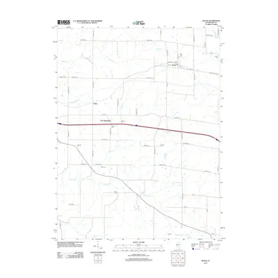
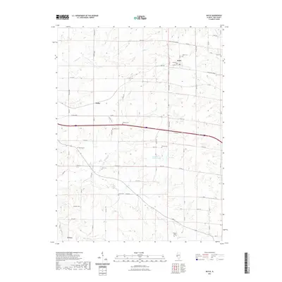
 2024 Baylis2024 Print · USGSWestern Pike County appears here in its modern agricultural layout, centered on the village of Baylis. Genealogists will find an exceptional density of family burial sites to trace, including the Hazelrigg Cem, Shaw Cem, and the uniquely named Brawley - Iftner - Orr Cem.
End of results
Showing maps 1-12 of 12
Top cities near Baylis
- Pittsfield historical maps
- Barry historical maps
- Griggsville historical maps
- Atlas historical maps
- Liberty historical maps
- Martinsburg historical maps
See more
Frequently asked questions
- What are the different types of historical maps available for Baylis?
- What is the oldest map of Baylis?
- Where can I purchase historical maps of Baylis for my home or office?
- Where can I download high-res historical maps of Baylis?
- Are there historical topographic maps available for Baylis?
- Is there historical aerial imagery available for Baylis?
- Where are historical maps of Baylis sourced from?