2020s Maps of Putnam County, Illinois
Explore 14 historic maps of Putnam County from the 2020s. These maps offer a rare glimpse into what life looked like during the 2020s — showing old roads, neighborhoods, homes, and landmarks that have changed or disappeared over time.
Whether you're researching your family's past, planning a metal detecting trip, or studying how Putnam County's landscape evolved across the 2020s, these high-resolution maps are a powerful tool for exploring the history of this region.
- Focus on a specific era: All maps on this page are from the 2020s, giving you a focused view of this time period.
- See what’s changed: Compare century-old streets, trails, and buildings to today's modern landscape using overlays and satellite layers.
- Research with precision: Use these maps for genealogy, historical research, land use analysis, or educational projects.
- View, download, or print: Maps are fully viewable online in high resolution, and can be downloaded or printed for your own records.
Start exploring Putnam County's history through authentic maps from the 2020s. This is your window into the past.
Putnam County, IL maps
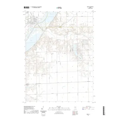
(14)- 2021 Map of Spring Valley, 2021 Print
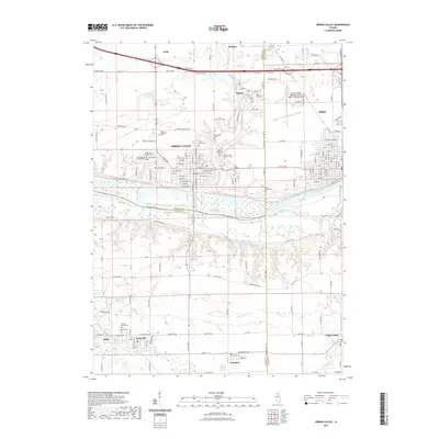 2021 Spring Valley2021 Print · USGSCovers Putnam County, including Peru, Spring Valley, and other nearby areas
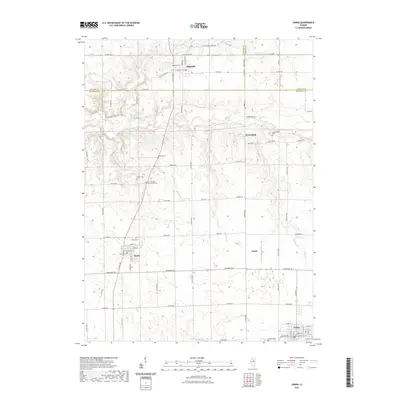
 - 2021 Map of McNabb, 2021 Print
 2021 McNabb2021 Print · USGSCovers Putnam County, including McNabb, Mount Palatine, and other nearby areas
 - 2021 Map of Putnam, 2021 Print
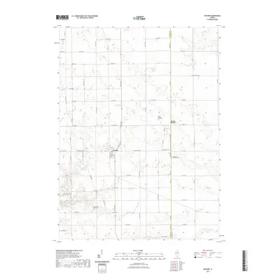
 2021 Putnam2021 Print · USGSCovers Putnam County, including Lone Tree Corners, Putnam, and other nearby areas
 - 2021 Map of Florid, 2021 Print
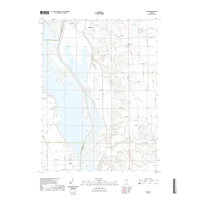 2021 Florid2021 Print · USGSCovers Putnam County, including Henry, Hennepin, and other nearby areas
 - 2021 Map of Henry, 2021 Print
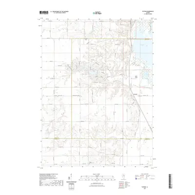
 2021 Henry2021 Print · USGSCovers Putnam County, including Henry, Marshall County, and other nearby areas
 - 2021 Map of Varna, 2021 Print
 2021 Varna2021 Print · USGSCovers Putnam County, including Toluca, Varna, and other nearby areas
 - 2021 Map of Depue, 2021 Print
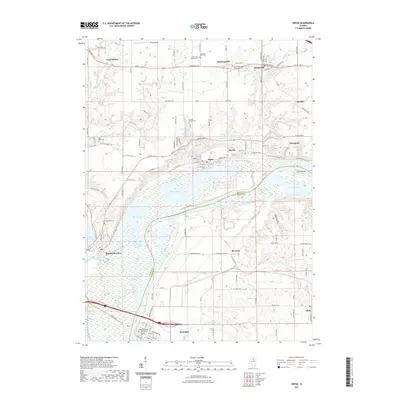 2021 Depue2021 Print · USGSCovers Putnam County, including Hennepin, Mark, and other nearby areas
 - 2024 Map of Putnam, 2024 Print
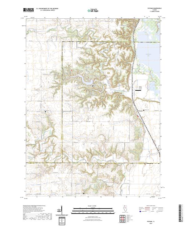 2024 Putnam2024 Print · USGSModern-day Putnam and the Illinois River bluffs are captured here as they bridge the borders of Bureau and Marshall counties. Genealogists can trace family sites at Lone Tree Cem and Sugar Grove Cem or follow the waters of Senachwine Lake.
 - 2024 Map of Varna, 2024 Print
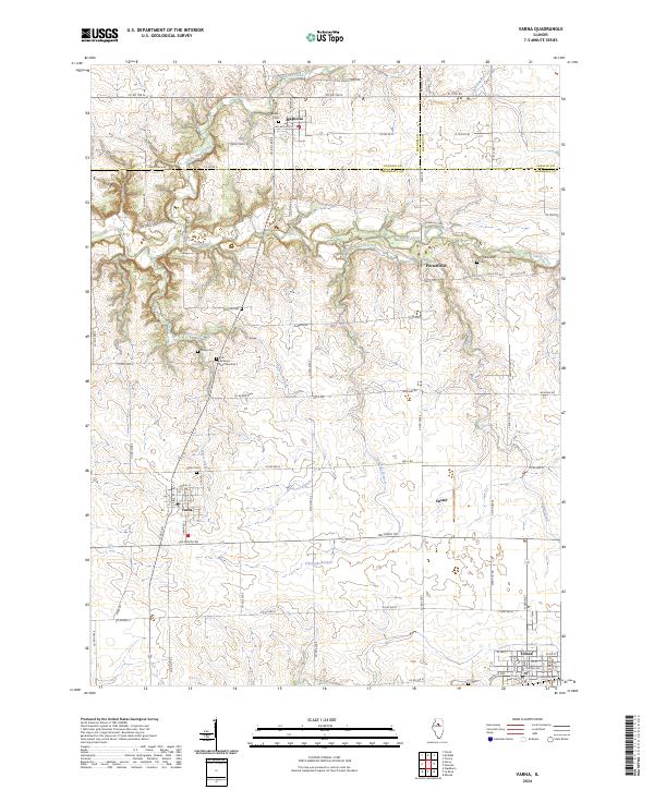 2024 Varna2024 Print · USGSVarna and Magnolia sit at the intersection of three counties in this recent survey of the Illinois prairie. Genealogists can trace family roots through numerous burial sites like Salem Cem and Cumberland Cem or follow the path of Old Stagecoach Rd.
 - 2024 Map of Florid, 2024 Print
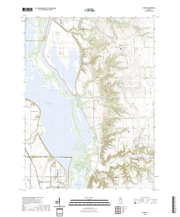 2024 Florid2024 Print · USGSThe Illinois River valley comes into sharp focus here in 2024, showing the winding waterway between Hennepin and Henry. Genealogists can trace family plots at Florid Cem or Murphy Cem while exploring the backroads and oxbow lakes like Senachwine Lake.
 - 2024 Map of Spring Valley, 2024 Print
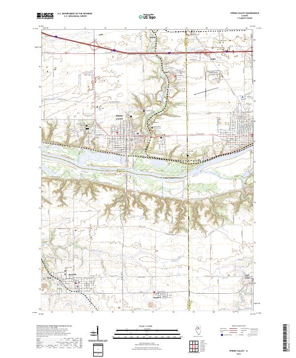 2024 Spring Valley2024 Print · USGSSpring Valley and the Illinois River bluffs are documented here during a period of modern regional connectivity. Local researchers can trace the cultural landscape through landmarks like the Lithuanian Cem, Saint Bede Cem, and Granville.
 - 2024 Map of McNabb, 2024 Print
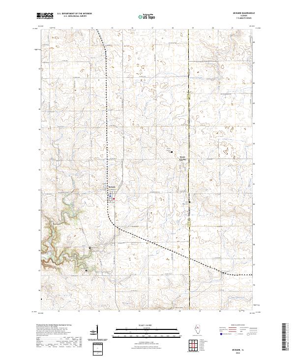 2024 McNabb2024 Print · USGSPutnam and LaSalle counties appear here in the 2020s, showcasing a landscape of structured agricultural grids and quiet rural settlements. Genealogists can trace family heritage through local landmarks like Friends Cem, Saint Marys Cem, and Mount Palatine.
 - 2024 Map of Depue, 2024 Print
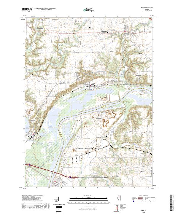 2024 Depue2024 Print · USGSThe Illinois River valley near Hennepin is captured here in a period of modern stability, showing the relationship between the river towns and the upland prairies. Researchers can trace family history through sites like Greenwood Cem or locate former landmarks like Bureau Junction and Coal Hollow.
 - 2024 Map of Henry, 2024 Print
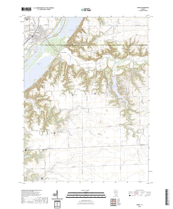 2024 Henry2024 Print · USGSThe river town of Henry is shown here in the 2020s, highlighting its position along the Illinois River and the surrounding marshlands. Genealogists can locate several family burial grounds including Jason and Broadus Cem and Greeves Cem, alongside the Chautauqua National Wildlife Refuge.
End of results
Showing maps 1-14 of 14
Top cities of Putnam County
- Granville historical maps
- Hennepin historical maps
- Mark historical maps
- McNabb historical maps
- Magnolia historical maps
- Standard historical maps
Frequently asked questions
- What are the different types of historical maps available for Putnam County?
- What is the oldest map of Putnam County?
- Where can I purchase historical maps of Putnam County for my home or office?
- Where can I download high-res historical maps of Putnam County?
- Are there historical topographic maps available for Putnam County?
- Is there historical aerial imagery available for Putnam County?
- Where are historical maps of Putnam County sourced from?