Old Maps of Putnam County, Illinois for Genealogy
Trace your family roots with 57 historic maps of Putnam County. These high-res maps reveal old neighborhoods, homesites, landmarks, and streets — helping you uncover where your ancestors lived and how the area evolved over time.
- Explore historic neighborhoods: Identify where your relatives may have lived in the 1800s or 1900s.
- Compare maps over time: Trace the changes in streets, buildings, and landmarks for multi-generational research.
- Perfect for genealogy & ancestry research: Used by family historians and researchers to map out lineage and migration.
These maps are an incredible resource for exploring your personal connection to Putnam County's past.
Putnam County, IL maps
(57)- 1893 Map of Lacon
 1893 Lacon1893 Print · USGSThe Illinois River valley in the early 1890s reveals a landscape of river-port towns and sprawling backwater lakes. Genealogists and local historians can trace the early rail corridors of the Chicago and Alton Railroad and find long-established river settlements like Henry and Sparland.4 unique versions available
 - 1893 Map of Hennepin
 1893 Hennepin1893 Print · USGSBureau County and the Illinois River valley are captured here in the late nineteenth century as the rail network reached its peak. Genealogists and historians can trace the early footprints of Princeton, Bureau Junction, and Tiskilwa along the major trunk lines of the era.2 unique versions available
 - 1893 Map of Lasalle
 1893 Lasalle1893 Print · USGSThe Illinois River valley was a powerhouse of nineteenth-century industry and transport where the canal era met the railroad boom. Researchers can trace the early street grids of Peru and La Salle or locate vanished stops along the North Western Railway and the Illinois and Michigan Canal.4 unique versions available
 - 1909 Map of Hennepin
 1909 Hennepin1909 Print · USGSNorth-central Illinois at the height of the railroad era is displayed here, centered on the river valleys of Putnam and Bureau counties. Genealogists can locate family landmarks such as the County Farm, Berean Church, and schools like Highland School.
 - 1911 Map of La Salle
 1911 La Salle1911 Print · USGSThe Illinois River valley thrived as a hub of rail and river commerce in the early twentieth century. Researchers can trace the development of industrial centers like La Salle and Oglesby, or locate vanished post offices and rural landmarks like Standard Taft PO and St Bedes College.
 - 1911 Map of Hennepin
 1911 Hennepin1911 Print · USGSThe Illinois River valley and the railroad hub of Princeton are captured here at the height of the steam era. Genealogists and historians can trace family locations near the Highland School, Berean Church, and early village sites like Tiskilwa and Hallowayville.2 unique versions available
 - 1913 Map of La Salle
 1913 La Salle1913 Print · USGSThe industrial heart of the Illinois River valley thrives in the early twentieth century, showing the intersection of heavy rail and river trade. Genealogists can trace family homes near St Bedes College or find old post offices like Standard Taft PO and rural stops at Hicks Corners.4 unique versions available
 - 1933 Map of Lacon
 1933 Lacon1933 Print · USGSThe Illinois River valley in the early 1930s reveals a complex network of backwater lakes and rail-dependent towns. Researchers can locate family landmarks like St Joseph Cem, the Whitefield Town Hall, and dozens of rural schoolhouses such as Brush College Sch.3 unique versions available
 - 1934 Map of Wenona
 1934 Wenona1934 Print · USGSThe crossroads of Marshall, Putnam, and La Salle counties are captured here in the mid-1930s, revealing a landscape defined by railroad junctions and rural school districts. Genealogists can locate family-named landmarks like Hullinger Sch and Beckwith Sch, or trace the tracks of the Illinois Central through Wenona.2 unique versions available
 - 1937 Map of Lacon
 1937 Lacon1937 Print · USGSMid-century life along the Illinois River valley reveals a landscape of thriving river towns and rural school districts in the 1930s. Trace the vanished local footprints of Whitefield Town Hall, the Alton RR corridor, and family-named sites like Bonham Cem.2 unique versions available
 - 1939 Map of Wenona
 1939 Wenona1939 Print · USGSNorth-central Illinois agricultural and rail hubs are captured here in the late 1930s as steam-era infrastructure reached its peak. Researchers can locate dozens of country schools and trace the tracks of the Illinois Central through Wenona and Tonica.2 unique versions available
 - 1947 Map of La Salle, 1958 Print
 1947 La Salle1958 Print · USGSLa Salle and the Illinois River valley are shown here in the years following the war, as the rail-to-river economy remained in full swing. Local historians can trace the transition from rail to road while locating St Bedes College, Matthiessen Park, and Spring Valley.2 unique versions available
 - 1958 Map of Aurora, 1969 Print
 1958 Aurora1969 Print · USGSNorthern Illinois in the late fifties shows a landscape of powerful river industry and expanding transport corridors. Genealogists and historians can trace the development of Aurora and Joliet or locate sites like the Elwood Ordnance Plant and Starved Rock.3 unique versions available
 - 1961 Map of Aurora
 1961 Aurora1961 Print · USGSNorthern Illinois at the height of the post-war era reveals a landscape of massive industrial works and thriving river towns. Genealogists and historians can trace the paths of the Lincoln Highway or locate long-standing landmarks like the Green River Ordnance Plant and Starved Rock State Park.
 - 1966 Map of Depue, 1968 Print
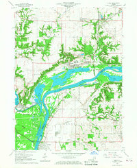 1966 Depue1968 Print · USGSThe Illinois River valley in the 1960s was a critical junction of heavy industry and historical waterways. Trace the rail lines at Bureau Junction or locate family sites near Searl Ridge Cem and the Steel Plant.2 unique versions available
 - 1966 Map of Spring Valley, 1968 Print
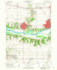 1966 Spring Valley1968 Print · USGSThe Illinois River valley in the mid-sixties is a dense corridor of rail-and-river industry and established parish life. Genealogists and historians can trace the footprint of Spring Valley and Granville through local sites like Sacred Heart Cem and Hopkins High Sch.2 unique versions available
 - 1972 Map of Putnam, 1974 Print
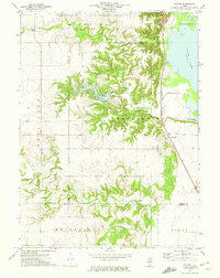 1972 Putnam1974 Print · USGSThe Illinois River valley and the community of Putnam are captured here in the early 1970s. Researchers can trace the Chicago Rock Island and Pacific rail line and locate local landmarks like Sugar Grove Cem and Lake Thunderbird.2 unique versions available
 - 1972 Map of Henry, 1974 Print
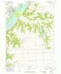 1972 Henry1974 Print · USGSMarshall County in the early seventies centers on the riverfront life of the community of Henry and the surrounding agricultural townships. Genealogists can locate several family-named burial sites like Forbes Cem and Harris Cem, or trace the winding course of Sandy Creek through the rural landscape.2 unique versions available
 - 1972 Map of Florid, 1974 Print
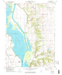 1972 Florid1974 Print · USGSThe Illinois River bottomlands in the early 1970s reveal a landscape of vast backwater lakes and upland farming communities. Trace family roots at Riverside Cem or follow the Chicago Rock Island and Pacific rails past Hilderbrant.2 unique versions available
 - 1983 Map of McNabb, 1984 Print
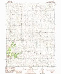 1983 McNabb1984 Print · USGSThe Illinois prairie near the Putnam and La Salle county line is captured here in the early 1980s, centered on the village of Mc Nabb. Genealogists and historians can trace local landmarks like Mt Palatine Cem, the Coleman Sch, and the long-established Friends Ch.
 - 1983 Map of Varna, 1984 Print
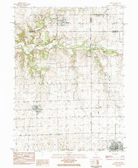 1983 Varna1984 Print · USGSThe northern Illinois prairie towns of Varna and Magnolia are captured here in the early eighties as the regional rail network gave way to new transport. Genealogists can trace family footprints across Statler Cem, Antioch Cem, and the Old Railroad Grade.
 - 1985 Map of Kewanee
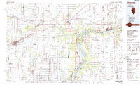 1985 Kewanee1985 Print · USGSNorth-central Illinois in the mid-eighties shows a landscape of river-valley industry and prairie transit. Researchers can trace family roots through Evergreen Memory Garden or follow the historic Hennepin Canal past Tiskilwa and Wyanet.2 unique versions available
 - 2012 Map of Varna, 2012 Print
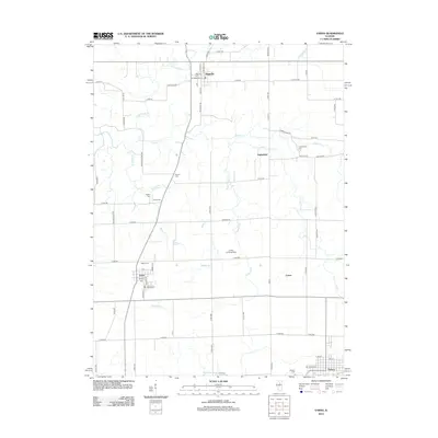 2012 Varna2012 Print · USGSThe village of Varna and the surrounding Marshall County prairie are captured in this recent survey, showcasing a landscape of small settlements and family cemeteries. Genealogists can trace burial sites like Salem Cem or locate the historic route of Old Stage Coach Rd.
 - 2012 Map of Depue, 2012 Print
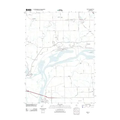 2012 Depue2012 Print · USGSHennepin and the Illinois River valley are documented here in the early twenty-first century, showing a landscape of river-town industry and rural cemeteries. Genealogists can locate several burial sites including Artesian Well Cem and Searl Ridge Cem, or trace the waters of Depue Lake.
 - 2012 Map of Spring Valley, 2012 Print
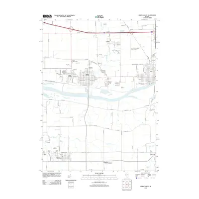 2012 Spring Valley2012 Print · USGSThe Illinois River valley near Spring Valley and Peru shows a dense landscape of industry and heritage in the early 2010s. Genealogists can trace family roots through the Lithuanian Cem, Saint George Syrian Cem, and the grounds of Saint Bede College.
Showing maps 1-25 of 57
Top cities of Putnam County
- Granville historical maps
- Hennepin historical maps
- Mark historical maps
- McNabb historical maps
- Magnolia historical maps
- Standard historical maps
Frequently asked questions
- What are the different types of historical maps available for Putnam County?
- What is the oldest map of Putnam County?
- Where can I purchase historical maps of Putnam County for my home or office?
- Where can I download high-res historical maps of Putnam County?
- Are there historical topographic maps available for Putnam County?
- Is there historical aerial imagery available for Putnam County?
- Where are historical maps of Putnam County sourced from?