Old Maps of Claremont, Illinois for Hiking & Exploration
Hike through history with 12 historic maps of Claremont. Explore old trails, ghost towns, and forgotten backroads — perfect for outdoor adventurers and local explorers.
- Rediscover forgotten places: Map out old mining camps, roads, and footpaths that no longer exist on modern maps.
- Layer with modern tools: Combine with LiDAR or satellite views to plan hikes through historical terrain.
- Made for exploration: Popular among hikers, overlanders, and local history lovers.
Use these maps to find adventure and explore the hidden past of Claremont.
Claremont, IL maps
(12)- 1911 Map of Sumner, 1954 Print
 1911 Sumner1954 Print · USGSSoutheast Illinois at the dawn of the twentieth century was a landscape of bustling rail towns and ubiquitous country schools. Genealogists can locate family-named landmarks and long-lost rural centers like Berryville, the Oil Tanks of Bridgeport, and Frogeye School.
 - 1913 Map of Sumner
 1913 Sumner1913 Print · USGSThe rural landscape of Lawrence and Richland counties is captured here just before the First World War, centered on the BALTIMORE AND OHIO SOUTHWESTERN rail line. Genealogists can locate numerous rural schools like Frogeye School and Buckhorn School or trace the early Oil Tanks near Bridgeport.2 unique versions available
 - 1956 Map of Vincennes, 1967 Print
 1956 Vincennes1967 Print · USGSSouthern Indiana and the Illinois borderlands are captured here in the mid-fifties, showing the region's dense network of river towns and rail lines. Researchers can trace historic river crossings along the Wabash River or locate landmarks like Wyandotte Cave and Lincoln State Park.4 unique versions available
 - 1957 Map of Vincennes
 1957 Vincennes1957 Print · USGSSouthwest Indiana and the Illinois borderlands come alive in the late 1950s, a period of heavy rail traffic and expanding state forests. Genealogists and historians can trace the riverfronts and rail lines of Vincennes, New Harmony, and the vast Crane Naval Ammunition Depot.
 - 1958 Map of Vincennes
 1958 Vincennes1958 Print · USGSSouthern Indiana and the Illinois borderlands are captured during a mid-century period of heavy rail traffic and military activity. Researchers can trace the sprawling bounds of the Crane Naval Ammunition Depot or locate historic settlements like New Harmony and French Lick.2 unique versions available
 - 1968 Map of Claremont, 1970 Print
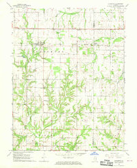 1968 Claremont1970 Print · USGSRichland and Lawrence counties appear here in the late sixties, centered on the railroad town of Claremont. Researchers can trace old family burial sites like Dutch Flat Cem and Brian Cem or locate rural landmarks like Otterbein Ch.
 - 1986 Map of Vincennes
 1986 Vincennes1986 Print · USGSThe Wabash River valley in the mid-1980s shows a landscape defined by deep-rooted river towns and heavy industry. Researchers can trace the legacy of regional rail lines like the Conrail system or locate landmarks such as Vincennes University and St Francisville Church.2 unique versions available
 - 2012 Map of Claremont, 2012 Print
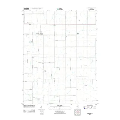 2012 Claremont2012 Print · USGSCovers Claremont, including Sumner, Hadley, and other nearby areas
 - 2015 Map of Claremont, 2015 Print
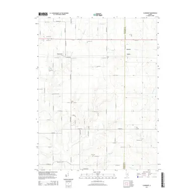 2015 Claremont2015 Print · USGSCovers Claremont, including Sumner, Hadley, and other nearby areas
 - 2018 Map of Claremont, 2018 Print
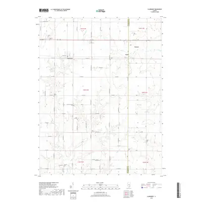 2018 Claremont2018 Print · USGSCovers Claremont, including Sumner, Hadley, and other nearby areas
 - 2021 Map of Claremont, 2021 Print
 2021 Claremont2021 Print · USGSCovers Claremont, including Sumner, Hadley, and other nearby areas
 - 2024 Map of Claremont, 2024 Print
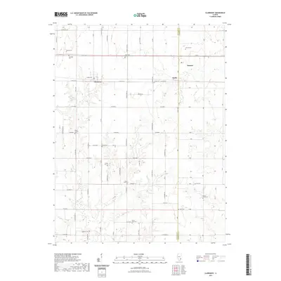
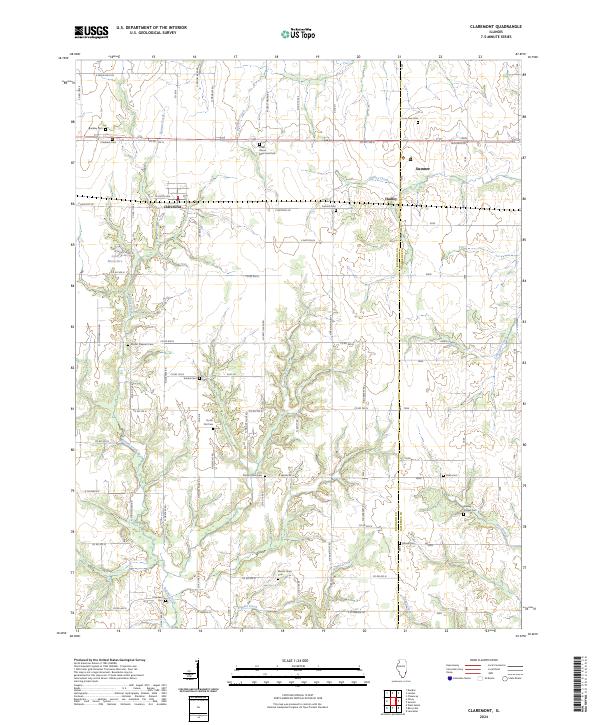 2024 Claremont2024 Print · USGSRichland and Lawrence Counties appear here in the 2020s, showing a landscape defined by generational farming and rural townships. Genealogists can locate specific family landmarks like Dutch Flat Cem, Brinkley Cem, and the small community of Otterbein.
End of results
Showing maps 1-12 of 12
Top cities near Claremont
- Olney historical maps
- Bridgeport historical maps
- Sumner historical maps
- West Salem historical maps
- Parkersburg historical maps
- Calhoun historical maps
Frequently asked questions
- What are the different types of historical maps available for Claremont?
- What is the oldest map of Claremont?
- Where can I purchase historical maps of Claremont for my home or office?
- Where can I download high-res historical maps of Claremont?
- Are there historical topographic maps available for Claremont?
- Is there historical aerial imagery available for Claremont?
- Where are historical maps of Claremont sourced from?