2020s Maps of Carrier Mills, Illinois
Explore 4 historic maps of Carrier Mills from the 2020s. These maps offer a rare glimpse into what life looked like during the 2020s — showing old roads, neighborhoods, homes, and landmarks that have changed or disappeared over time.
Whether you're researching your family's past, planning a metal detecting trip, or studying how Carrier Mills's landscape evolved across the 2020s, these high-resolution maps are a powerful tool for exploring the history of this region.
- Focus on a specific era: All maps on this page are from the 2020s, giving you a focused view of this time period.
- See what’s changed: Compare century-old streets, trails, and buildings to today's modern landscape using overlays and satellite layers.
- Research with precision: Use these maps for genealogy, historical research, land use analysis, or educational projects.
- View, download, or print: Maps are fully viewable online in high resolution, and can be downloaded or printed for your own records.
Start exploring Carrier Mills's history through authentic maps from the 2020s. This is your window into the past.
Carrier Mills, IL maps
(4)- 2021 Map of Harrisburg, 2021 Print
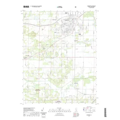 2021 Harrisburg2021 Print · USGSCovers Carrier Mills, including Harrisburg, Pankeyville, and other nearby areas
 - 2021 Map of Carrier Mills, 2021 Print
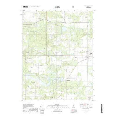 2021 Carrier Mills2021 Print · USGSCovers Carrier Mills, including Delta, Dykersburg, and other nearby areas
 - 2024 Map of Carrier Mills, 2024 Print
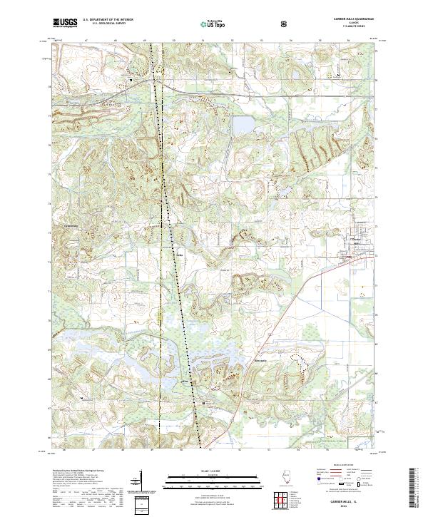 2024 Carrier Mills2024 Print · USGSCarrier Mills and the surrounding Saline County countryside are shown here at the intersection of industry and the great outdoors. Researchers can locate family roots at Spring Grove Cem or trace the early paths of Dykersburg and Delta near the Bankston Fork.
 - 2024 Map of Harrisburg, 2024 Print
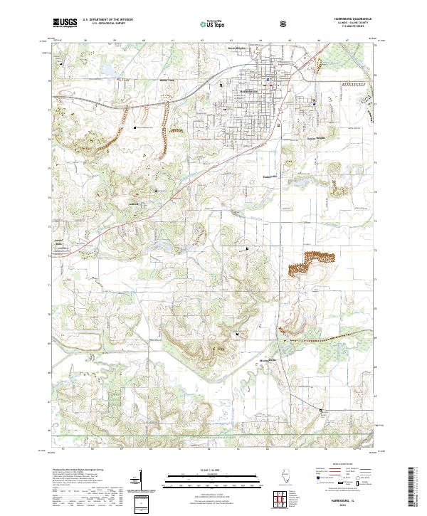 2024 Harrisburg2024 Print · USGSSaline County serves as a focal point in the 2020s, where the city of Harrisburg meets the northern edges of the Shawnee National Forest. Researchers can trace family history through several local burial sites like Sunset Hill Cem and Mount Pleasant Cem, or locate landmarks like the Saline County Courthouse.
End of results
Showing maps 1-4 of 4
Top cities near Carrier Mills
- Marion historical maps
- Harrisburg historical maps
- Eldorado historical maps
- Galatia historical maps
- Creal Springs historical maps
- Thompsonville historical maps
See more
Frequently asked questions
- What are the different types of historical maps available for Carrier Mills?
- What is the oldest map of Carrier Mills?
- Where can I purchase historical maps of Carrier Mills for my home or office?
- Where can I download high-res historical maps of Carrier Mills?
- Are there historical topographic maps available for Carrier Mills?
- Is there historical aerial imagery available for Carrier Mills?
- Where are historical maps of Carrier Mills sourced from?