Old Maps of Bluffs, Illinois for Academic Research
Study the evolution of Bluffs with 22 high-resolution historic maps. Whether you're teaching, researching, or modeling changes in land use, these maps provide essential visual documentation of urban, environmental, and geographic change.
- Analyze long-term change: Track patterns in development, transportation, and natural features.
- Ideal for environmental or urban studies: Support academic projects with primary historical map data.
- Use in the classroom or lab: Educators and researchers rely on these maps to bring historical context to life.
These maps are a powerful tool for teaching, research, and visualizing how Bluffs has changed over the decades.
Bluffs, IL maps
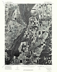
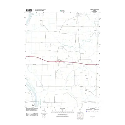
(22)- 1924 Map of Griggsville, 1959 Print
 1924 Griggsville1959 Print · USGSPike and Scott counties are captured during the mid-1920s as the Illinois River and Wabash RR defined local commerce. Researchers can trace rural life through dozens of named landmarks like Brush College School, Bethel Church, and Sleight Pond.2 unique versions available
 - 1926 Map of Griggsville
 1926 Griggsville1926 Print · USGSThe Illinois River valley in the 1920s is captured here at the height of its rail-and-river economy. Genealogists and historians can trace dozens of rural schools and landmarks including Brush College School, Bethel Church, and the Wabash RR corridor.2 unique versions available
 - 1928 Map of Meredosia, 1958 Print
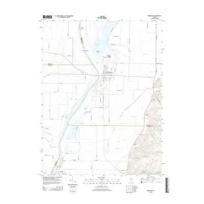
 1928 Meredosia1958 Print · USGSThe Illinois River valley in the late 1920s was a bustling corridor of river locks, pumping stations, and rail lines. Genealogists and local historians can trace family roots through numerous rural landmarks like Ham Sch, Reich Landing, and the Perry Spring's Sta rail stop.2 unique versions available
 - 1931 Map of Meredosia
 1931 Meredosia1931 Print · USGSThe Illinois River valley in the late twenties is captured here at a peak of rail and river activity. Genealogists can trace family roots through numerous country schools like Sand Ridge Sch and the important La Grange Locks complex.2 unique versions available
 - 1948 Map of Quincy
 1948 Quincy1948 Print · USGSThe Mississippi and Illinois River valleys are captured at a post-war crossroads as rail and river travel met the expanding highway system. Genealogists can trace family settlements from Quincy to Hannibal and smaller towns like Vandalia and Jerseyville.2 unique versions available
 - 1956 Map of Quincy, 1967 Print
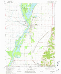
 1956 Quincy1967 Print · USGSThe river and rail corridors of the Illinois-Missouri border are documented here during the mid-1950s. Researchers can trace historic river landings and regional transit hubs from Quincy and Hannibal to smaller settlements like Meredosia and Roodhouse.3 unique versions available
 - 1975 Map of Meredosia SE, 1976 Print
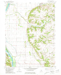
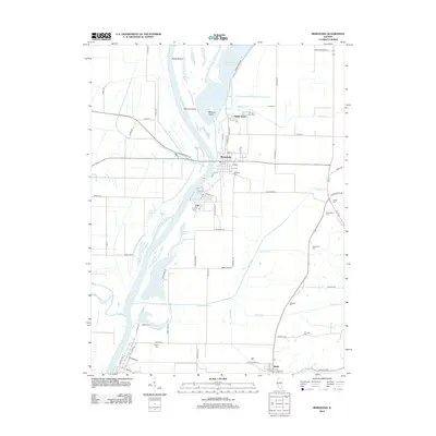
 1975 Meredosia SE1976 Print · USGSThe Illinois River valley in the mid-1970s shows a landscape of riverfront commerce and productive floodplains. Genealogists and local historians can trace the footprints of Meredosia, Naples, and the edge of Bluffs as they appeared decades ago.
 - 1980 Map of Meredosia, 1981 Print
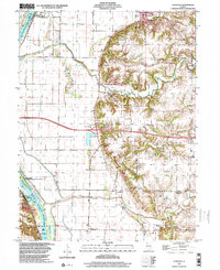
 1980 Meredosia1981 Print · USGSThe Illinois River valley in the early 1980s reveals a landscape of massive levees, rail lines, and wetlands across four county borders. Researchers can trace family history at Oakland Cem or Fairview Cem and follow the Norfolk and Western tracks through Meredosia and Naples.
 - 1980 Map of Florence, 1981 Print
 1980 Florence1981 Print · USGSThe Illinois River valley in the early 1980s shows a landscape of river-and-rail commerce and deep-rooted family history. Genealogists can trace numerous family-named landmarks including Hill-Crest Cem, Browns Mound, and West Rutledge Baker Cem.
 - 1985 Map of Meredosia, 1988 Print
 1985 Meredosia1988 Print · USGSWest Central Illinois in the mid-eighties was a landscape of deep-rooted river towns and historic educational institutions. Genealogists and historians can trace family ties through Diamond Grove Cem, locate MacMurray College in Jacksonville, or study the river engineering at La Grange Lock and Dam.
 - 1990 Map of Meredosia
 1990 Meredosia1990 Print · USGSThe Illinois River valley and its surrounding farm towns are captured here in the 1990s. Trace the intricate rail lines of the Norfolk Southern Railway and find local landmarks like Diamond Grove Cem or the Meredosia National Wildlife Refuge.
 - 1998 Map of Florence, 2003 Print
 1998 Florence2003 Print · USGSIn the late nineties, the Illinois River valley south of Naples remained a landscape of protective levees and scattered upland hamlets. Researchers can trace numerous family burial sites like Exeter Cem and landmarks such as Browns Mound or the Norfolk Southern rail corridor.
 - 2012 Map of Meredosia, 2012 Print
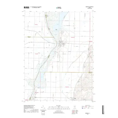
 2012 Meredosia2012 Print · USGSCovers Bluffs, including Meredosia, Naples, and other nearby areas
 - 2012 Map of Florence, 2012 Print
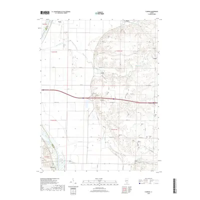
 2012 Florence2012 Print · USGSCovers Bluffs, including Naples, Exeter, and other nearby areas
 - 2015 Map of Florence, 2015 Print
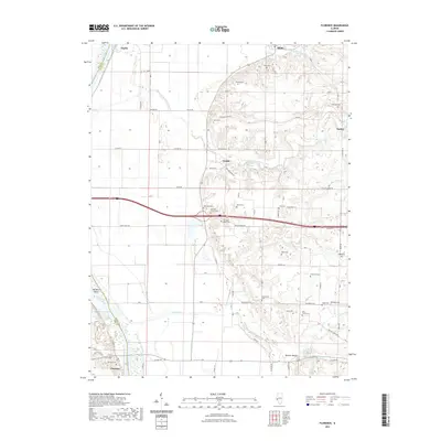
 2015 Florence2015 Print · USGSCovers Bluffs, including Naples, Exeter, and other nearby areas
 - 2015 Map of Meredosia, 2015 Print
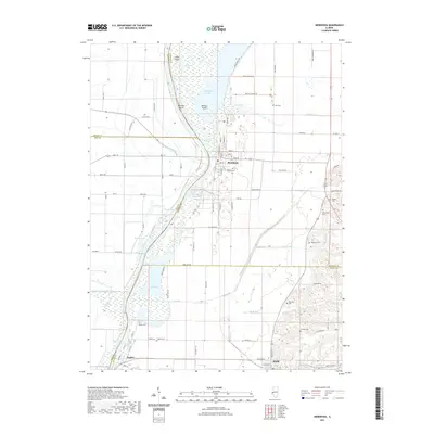
 2015 Meredosia2015 Print · USGSCovers Bluffs, including Meredosia, Naples, and other nearby areas
 - 2018 Map of Meredosia, 2018 Print
 2018 Meredosia2018 Print · USGSCovers Bluffs, including Meredosia, Naples, and other nearby areas
 - 2018 Map of Florence, 2018 Print
 2018 Florence2018 Print · USGSCovers Bluffs, including Naples, Exeter, and other nearby areas
 - 2021 Map of Florence, 2021 Print
 2021 Florence2021 Print · USGSCovers Bluffs, including Naples, Exeter, and other nearby areas
 - 2021 Map of Meredosia, 2021 Print
 2021 Meredosia2021 Print · USGSCovers Bluffs, including Meredosia, Naples, and other nearby areas
 - 2024 Map of Florence, 2024 Print
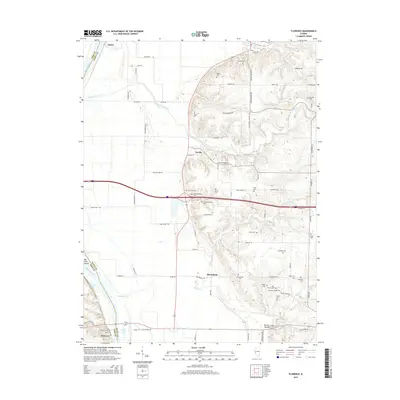
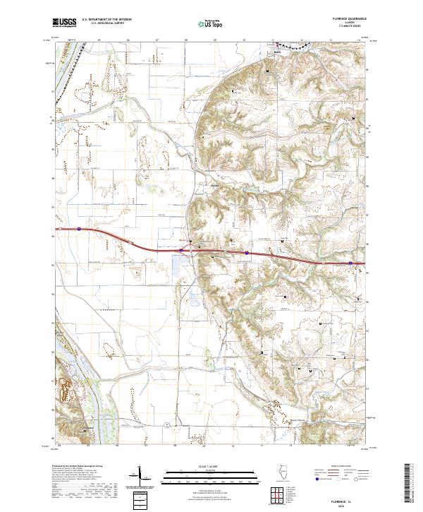 2024 Florence2024 Print · USGSThe Illinois River valley and its eastern bluffs come alive in this detailed record of Pike and Scott Counties. Genealogists can trace family heritage through numerous pioneer burial sites like Smithson Cem, Taylor Cem, and the Mitchell Family Cem.
 - 2024 Map of Meredosia, 2024 Print
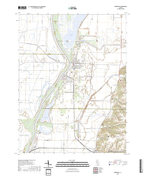 2024 Meredosia2024 Print · USGSThe Illinois River floodplain at the meeting of Morgan and Scott Counties is defined here by its intricate network of backwater lakes and early river towns. You can trace family history through numerous rural burial grounds like Oakland Cem and Fairview Cem or explore the wetlands of the Meredosia National Wildlife Refuge.
End of results
Showing maps 1-22 of 22
Top cities near Bluffs
- Beardstown historical maps
- Pittsfield historical maps
- Winchester historical maps
- Griggsville historical maps
- Meredosia historical maps
- Chapin historical maps
See more
Frequently asked questions
- What are the different types of historical maps available for Bluffs?
- What is the oldest map of Bluffs?
- Where can I purchase historical maps of Bluffs for my home or office?
- Where can I download high-res historical maps of Bluffs?
- Are there historical topographic maps available for Bluffs?
- Is there historical aerial imagery available for Bluffs?
- Where are historical maps of Bluffs sourced from?