2000s (21st Century) Maps of Sigel, Illinois
Explore 10 historic maps of Sigel from the 2000s (21st Century). These maps offer a rare glimpse into what life looked like during the 2000s — showing old roads, neighborhoods, homes, and landmarks that have changed or disappeared over time.
Whether you're researching your family's past, planning a metal detecting trip, or studying how Sigel's landscape evolved across the 2000s, these high-resolution maps are a powerful tool for exploring the history of this region.
- Focus on a specific era: All maps on this page are from the 2000s, giving you a focused view of this time period.
- See what’s changed: Compare century-old streets, trails, and buildings to today's modern landscape using overlays and satellite layers.
- Research with precision: Use these maps for genealogy, historical research, land use analysis, or educational projects.
- View, download, or print: Maps are fully viewable online in high resolution, and can be downloaded or printed for your own records.
Start exploring Sigel's history through authentic maps from the 2000s. This is your window into the past.
Sigel, IL maps
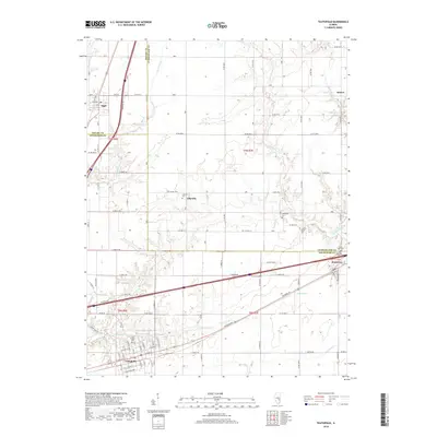
(10)- 2012 Map of Teutopolis, 2012 Print
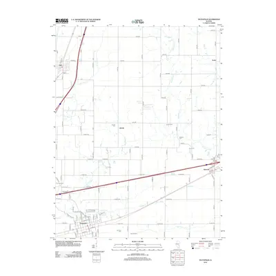 2012 Teutopolis2012 Print · USGSCovers Sigel, including Teutopolis, Montrose, and other nearby areas
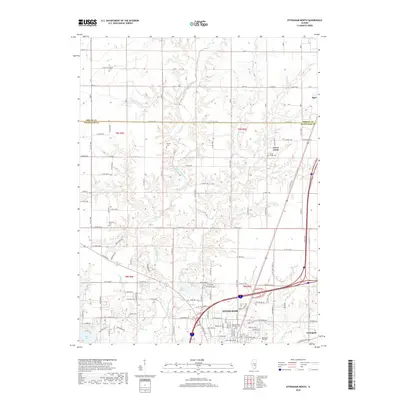
 - 2012 Map of Effingham North, 2012 Print
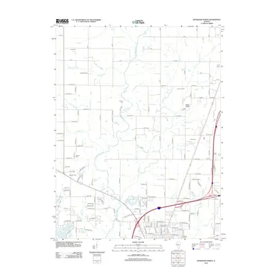 2012 Effingham North2012 Print · USGSCovers Sigel, including Effingham, Teutopolis, and other nearby areas
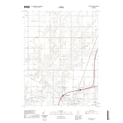
 - 2015 Map of Effingham North, 2015 Print
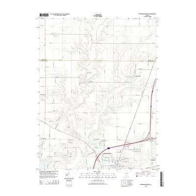 2015 Effingham North2015 Print · USGSCovers Sigel, including Effingham, Teutopolis, and other nearby areas
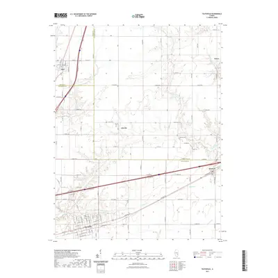
 - 2015 Map of Teutopolis, 2015 Print
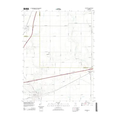 2015 Teutopolis2015 Print · USGSCovers Sigel, including Teutopolis, Montrose, and other nearby areas
 - 2018 Map of Teutopolis, 2018 Print
 2018 Teutopolis2018 Print · USGSCovers Sigel, including Teutopolis, Montrose, and other nearby areas
 - 2018 Map of Effingham North, 2018 Print
 2018 Effingham North2018 Print · USGSCovers Sigel, including Effingham, Teutopolis, and other nearby areas
 - 2021 Map of Teutopolis, 2021 Print
 2021 Teutopolis2021 Print · USGSCovers Sigel, including Teutopolis, Montrose, and other nearby areas
 - 2021 Map of Effingham North, 2021 Print
 2021 Effingham North2021 Print · USGSCovers Sigel, including Effingham, Teutopolis, and other nearby areas
 - 2024 Map of Effingham North, 2024 Print
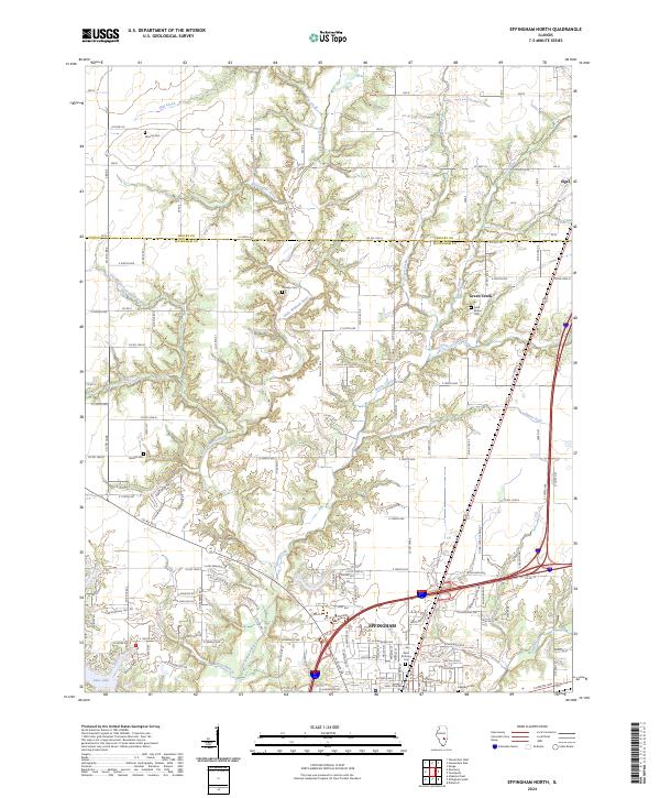 2024 Effingham North2024 Print · USGSThe northern reaches of Effingham and the Shelby County border are captured in the 2020s, showing a landscape of river valleys and growing residential lakefronts. Researchers can locate family landmarks like Mound Cem and Rentfro Cem or trace the winding path of the Little Wabash River.
 - 2024 Map of Teutopolis, 2024 Print
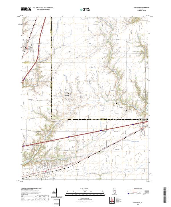 2024 Teutopolis2024 Print · USGSModern-day Teutopolis and Montrose are shown in detail alongside the historic National Rd corridor. Researchers can trace rural lineages through several local burial sites, including Lillyville Cem, Needham Cem, and Saint Francis Cem.
End of results
Showing maps 1-10 of 10
Top cities near Sigel
- Mattoon historical maps
- Effingham historical maps
- Neoga historical maps
- Teutopolis historical maps
- Paradise historical maps
- Windsor historical maps
See more
Frequently asked questions
- What are the different types of historical maps available for Sigel?
- What is the oldest map of Sigel?
- Where can I purchase historical maps of Sigel for my home or office?
- Where can I download high-res historical maps of Sigel?
- Are there historical topographic maps available for Sigel?
- Is there historical aerial imagery available for Sigel?
- Where are historical maps of Sigel sourced from?