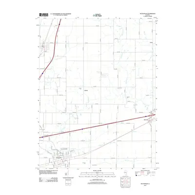
2012 Map of Teutopolis
USGS Topo · Published 2012About this map
Teutopolis and the surrounding Effingham County countryside are defined by a rhythmic grid of agricultural roads and the branching drainage of the Salt Creek system. This 2012 survey illustrates a landscape deeply rooted in its local heritage, with numerous family-run operations such as Niemeyer Farm, Pruemer Farms, and Loomas Farms dotting the map. The settlement pattern follows the transportation corridors, with Sigel in the northwest and Montrose in the east anchoring the rural townships.
Find a feature on this map
83 named features on this map. Tap any name to fly to it.
Don’t see what you’re looking for? This feature index may not catch every label — zoom into the map to look around manually.
Map Details
Editions of this 2012 Teutopolis Map
This is the sole edition of this map. No revisions or reprints were ever made.
Other maps of this area

1934 · Mattoon
USGS Topo · 1:62,500

1937 · Mattoon
USGS Topo · 1:62,500

1947 · Stewardson
USGS Topo · 1:62,500

1949 · Stewardson
USGS Topo · 1:62,500

1950 · Effingham
USGS Topo · 1:62,500

1951 · Effingham
USGS Topo · 1:62,500

1953 · Teutopolis
USGS Topo · 1:62,500

1958 · Decatur
USGS Topo · 1:250,000

1961 · Decatur
USGS Topo · 1:250,000
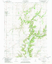
1981 · Stewardson East
USGS Topo · 1:24,000