Old Maps of Toulon, Illinois for Academic Research
Study the evolution of Toulon with 16 high-resolution historic maps. Whether you're teaching, researching, or modeling changes in land use, these maps provide essential visual documentation of urban, environmental, and geographic change.
- Analyze long-term change: Track patterns in development, transportation, and natural features.
- Ideal for environmental or urban studies: Support academic projects with primary historical map data.
- Use in the classroom or lab: Educators and researchers rely on these maps to bring historical context to life.
These maps are a powerful tool for teaching, research, and visualizing how Toulon has changed over the decades.
Toulon, IL maps
(16)- 1944 Map of Kewanee
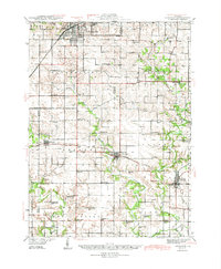 1944 Kewanee1944 Print · USGSHenry and Stark Counties in the 1940s show a landscape of thriving rail towns and closely spaced country schoolhouses. Genealogists can locate family-named landmarks like Cavanagh Cem and Bumble Bee Sch along the Spoon River valley.3 unique versions available
 - 1958 Map of Aurora, 1969 Print
 1958 Aurora1969 Print · USGSNorthern Illinois in the late fifties shows a landscape of powerful river industry and expanding transport corridors. Genealogists and historians can trace the development of Aurora and Joliet or locate sites like the Elwood Ordnance Plant and Starved Rock.3 unique versions available
 - 1961 Map of Aurora
 1961 Aurora1961 Print · USGSNorthern Illinois at the height of the post-war era reveals a landscape of massive industrial works and thriving river towns. Genealogists and historians can trace the paths of the Lincoln Highway or locate long-standing landmarks like the Green River Ordnance Plant and Starved Rock State Park.
 - 1983 Map of Wyoming, 1984 Print
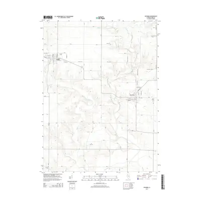
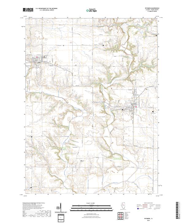
 1983 Wyoming1984 Print · USGSSmall-town Illinois life and prairie agriculture define the landscape in the early 1980s. Researchers can trace family sites at St Dominics Cem and Sheets Cem or follow the Burlington Northern line between Toulon and Wyoming.
 - 1983 Map of La Fayette, 1984 Print
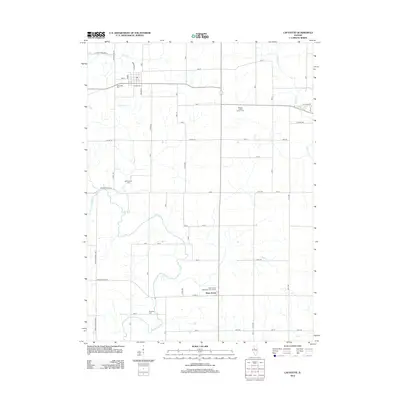
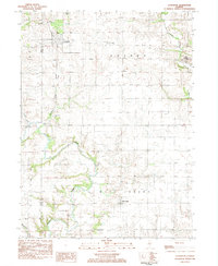 1983 La Fayette1984 Print · USGSSettlement patterns and rural life in Stark County are documented here in the early 1980s. Genealogists can locate family landmarks like McClenahan Cem and trace the Old Railroad Grade near La Fayette.
 - 1985 Map of Kewanee
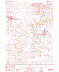
 1985 Kewanee1985 Print · USGSNorth-central Illinois in the mid-eighties shows a landscape of river-valley industry and prairie transit. Researchers can trace family roots through Evergreen Memory Garden or follow the historic Hennepin Canal past Tiskilwa and Wyanet.2 unique versions available
 - 2012 Map of Wyoming, 2012 Print
 2012 Wyoming2012 Print · USGSCovers Toulon, including Wyoming, Stark County, and other nearby areas
 - 2012 Map of Lafayette, 2012 Print
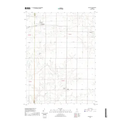
 2012 Lafayette2012 Print · USGSCovers Toulon, including West Jersey, La Fayette, and other nearby areas
 - 2015 Map of Wyoming, 2015 Print
 2015 Wyoming2015 Print · USGSCovers Toulon, including Wyoming, Stark County, and other nearby areas
 - 2015 Map of Lafayette, 2015 Print
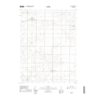
 2015 Lafayette2015 Print · USGSCovers Toulon, including West Jersey, La Fayette, and other nearby areas
 - 2018 Map of Wyoming, 2018 Print
 2018 Wyoming2018 Print · USGSCovers Toulon, including Wyoming, Stark County, and other nearby areas
 - 2018 Map of Lafayette, 2018 Print
 2018 Lafayette2018 Print · USGSCovers Toulon, including West Jersey, La Fayette, and other nearby areas
 - 2021 Map of Lafayette, 2021 Print
 2021 Lafayette2021 Print · USGSCovers Toulon, including West Jersey, La Fayette, and other nearby areas
 - 2021 Map of Wyoming, 2021 Print
 2021 Wyoming2021 Print · USGSCovers Toulon, including Wyoming, Stark County, and other nearby areas
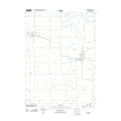
 - 2024 Map of Wyoming, 2024 Print
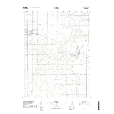
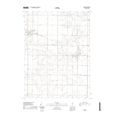
 2024 Wyoming2024 Print · USGSStark County's prairie landscape and rural heritage are clearly defined in this modern survey of the Toulon and Wyoming area. Genealogists can trace numerous local burial grounds such as Starwano Cem, Shareville Cem, and the Stark County Courthouse.
 - 2024 Map of Lafayette, 2024 Print
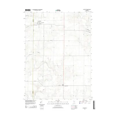
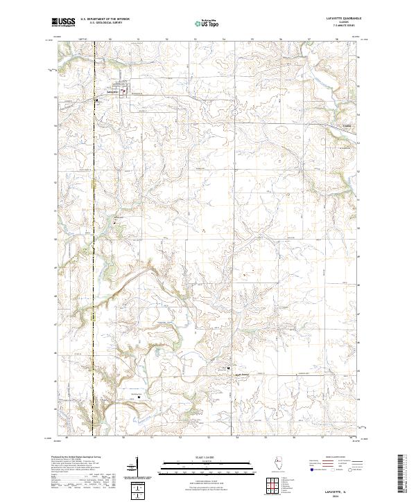 2024 Lafayette2024 Print · USGSStark County's agricultural heartland is documented here in the contemporary era, showing the enduring structure of its rural villages and creek valleys. Researchers can locate family landmarks such as McClenahan Cem, Shockley Cem, and the village streets of Lafayette.
End of results
Showing maps 1-16 of 16
Top cities near Toulon
- Kewanee historical maps
- Galva historical maps
- Princeville historical maps
- Wyoming historical maps
- Akron historical maps
- Osceola historical maps
See more
Frequently asked questions
- What are the different types of historical maps available for Toulon?
- What is the oldest map of Toulon?
- Where can I purchase historical maps of Toulon for my home or office?
- Where can I download high-res historical maps of Toulon?
- Are there historical topographic maps available for Toulon?
- Is there historical aerial imagery available for Toulon?
- Where are historical maps of Toulon sourced from?