Old Maps of Delavan, Illinois for Genealogy
Trace your family roots with 19 historic maps of Delavan. These high-res maps reveal old neighborhoods, homesites, landmarks, and streets — helping you uncover where your ancestors lived and how the area evolved over time.
- Explore historic neighborhoods: Identify where your relatives may have lived in the 1800s or 1900s.
- Compare maps over time: Trace the changes in streets, buildings, and landmarks for multi-generational research.
- Perfect for genealogy & ancestry research: Used by family historians and researchers to map out lineage and migration.
These maps are an incredible resource for exploring your personal connection to Delavan's past.
Delavan, IL maps
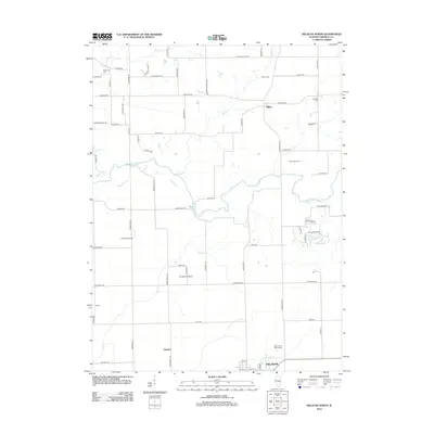
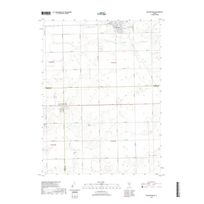
(19)- 1942 Map of Delavan
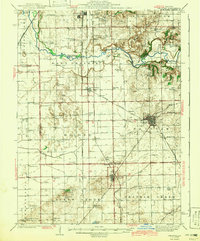 1942 Delavan1942 Print · USGSTazewell County's fertile plains are captured in the early 1940s, showing a landscape defined by busy rail junctions and a dense grid of country schoolhouses. Researchers can trace family roots through landmarks like St Lukes Ch, South Pekin, and rural schools such as Oak Hill Sch.3 unique versions available
 - 1958 Map of Peoria, 1969 Print
 1958 Peoria1969 Print · USGSCentral Illinois thrived as a hub of education and transport during the late sixties, as the new interstate system began to reshape the prairie. Genealogists and historians can trace local landmarks like Springdale Cem, Bradley University, and the sprawling grounds of Chanute AFB.4 unique versions available
 - 1961 Map of Peoria
 1961 Peoria1961 Print · USGSCentral Illinois thrived at the intersection of river trade and rail power during the late fifties. Genealogists and local historians can trace the rail networks of the Illinois Central and Wabash, alongside landmarks like Chanute AFB and Weldon Springs State Park.
 - 1963 Map of Peoria
 1963 Peoria1963 Print · USGSCentral Illinois thrived as a rail and highway crossroads during the early sixties, centered on the bustling Illinois River valley. Genealogists and historians can trace the mid-century layout of Peoria, locate the grounds of Chanute Air Force Base, and follow historic lines like the Toledo Peoria and Western Railway.
 - 1971 Map of Delavan North, 1973 Print
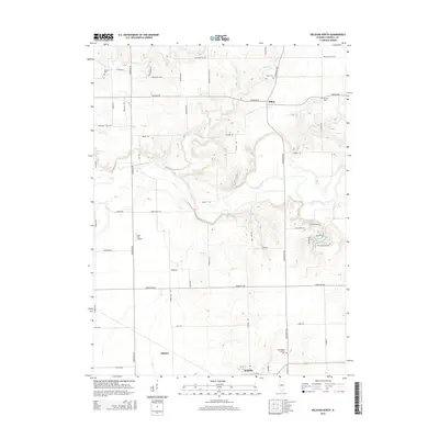
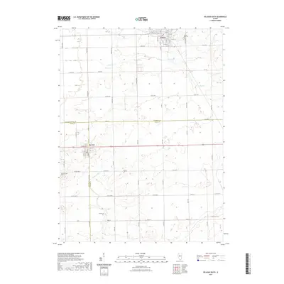
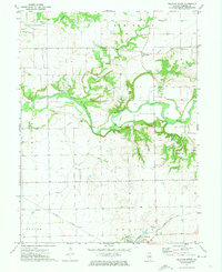 1971 Delavan North1973 Print · USGSCentral Illinois farmland and the winding Mackinaw River define this Tazewell County landscape in the early seventies. Genealogists and historians can locate old burial grounds like Dillon Cem and trace the paths of the Illinois Central and Gulf Mobile and Ohio railroads.
 - 1980 Map of Delavan South
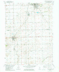 1980 Delavan South1980 Print · USGSLogan, Mason, and Tazewell counties meet in this 1980 survey of the Illinois prairie during a period of established rail and drainage infrastructure. Researchers can pinpoint historic family sites at Prairie Rest Cem and Thomas Cem or trace the Illinois Central Gulf rail corridor.
 - 1985 Map of Lincoln
 1985 Lincoln1985 Print · USGSMid-century Illinois comes to life in this survey of Logan and Mason counties as the interstate era reshapes the prairie. Genealogists and historians can trace rail-town development from San Jose to Kenney or locate landmarks like Rose Hill Cem and Funks Grove.
 - 1989 Map of Lincoln
 1989 Lincoln1989 Print · USGSCentral Illinois in the late eighties remains a landscape of productive prairie and vital river arteries. Genealogists and local historians can trace rural family landmarks like Rose Hill Cem, identify early aviation at Logan County Airport, or follow the Illinois Central Gulf Railroad through towns like Atlanta and Lincoln.
 - 1990 Map of Peoria
 1990 Peoria1990 Print · USGSCentral Illinois at the start of the nineties reveals a landscape of industrial river towns and sprawling university campuses. Researchers can trace the legacy of major institutions like Chanute Air Force Base and the University of Illinois alongside regional landmarks such as Sand Ridge State Forest.
 - 2012 Map of Delavan South, 2012 Print
 2012 Delavan South2012 Print · USGSCovers Delavan, including San Jose, Tazewell County, and other nearby areas
 - 2012 Map of Delavan North, 2012 Print
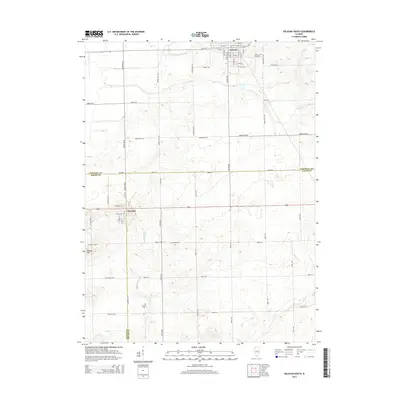
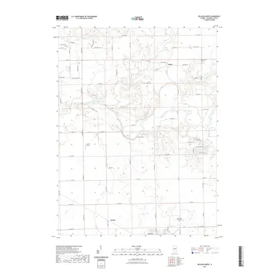
 2012 Delavan North2012 Print · USGSCovers Delavan, including Dillon, Holmes, and other nearby areas
 - 2015 Map of Delavan South, 2015 Print
 2015 Delavan South2015 Print · USGSCovers Delavan, including San Jose, Tazewell County, and other nearby areas
 - 2015 Map of Delavan North, 2015 Print
 2015 Delavan North2015 Print · USGSCovers Delavan, including Dillon, Holmes, and other nearby areas
 - 2018 Map of Delavan North, 2018 Print
 2018 Delavan North2018 Print · USGSCovers Delavan, including Dillon, Holmes, and other nearby areas
 - 2018 Map of Delavan South, 2018 Print
 2018 Delavan South2018 Print · USGSCovers Delavan, including San Jose, Tazewell County, and other nearby areas
 - 2021 Map of Delavan North, 2021 Print
 2021 Delavan North2021 Print · USGSCovers Delavan, including Dillon, Holmes, and other nearby areas
 - 2021 Map of Delavan South, 2021 Print
 2021 Delavan South2021 Print · USGSCovers Delavan, including San Jose, Tazewell County, and other nearby areas
 - 2024 Map of Delavan North, 2024 Print
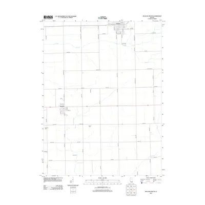
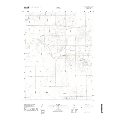
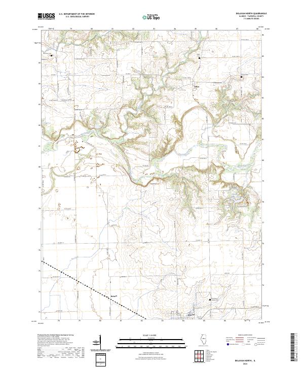 2024 Delavan North2024 Print · USGSTazewell County farmland meets the winding Mackinaw River in this recent survey of the Illinois prairie. Genealogists can locate family sites near Dillon, Antioch Cem, and Saint Marys Catholic Cem among the rural townships.
 - 2024 Map of Delavan South, 2024 Print
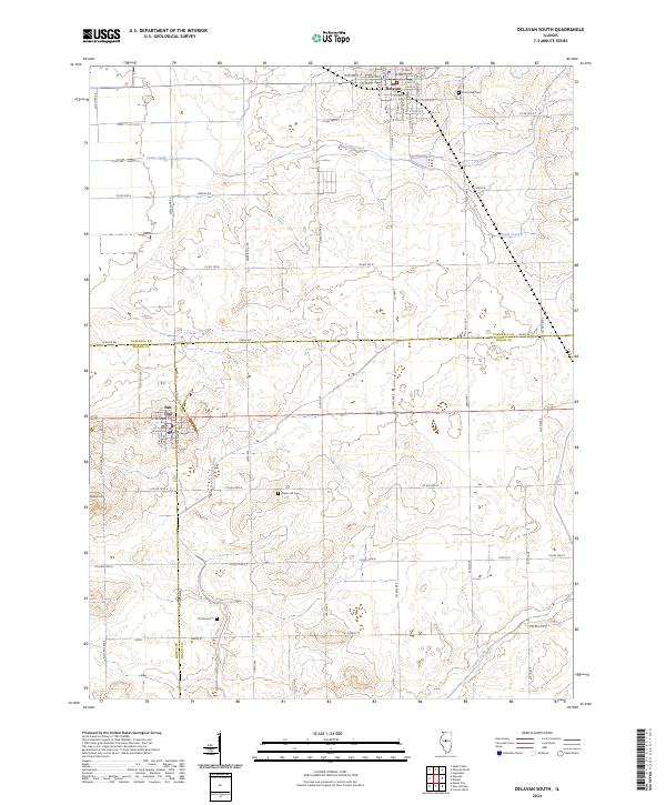 2024 Delavan South2024 Print · USGSThe rural borderlands of Logan, Tazewell, and Mason counties are captured here in the early twenty-first century. Genealogists and local historians can locate ancestral resting places at Thomas Cemetery or Green Hill Cemetery and trace the drainage patterns of Crane Creek.
End of results
Showing maps 1-19 of 19
Top cities near Delavan
- Pekin historical maps
- Groveland historical maps
- Morton historical maps
- Lincoln historical maps
- Mason City historical maps
- Tremont historical maps
See more
Frequently asked questions
- What are the different types of historical maps available for Delavan?
- What is the oldest map of Delavan?
- Where can I purchase historical maps of Delavan for my home or office?
- Where can I download high-res historical maps of Delavan?
- Are there historical topographic maps available for Delavan?
- Is there historical aerial imagery available for Delavan?
- Where are historical maps of Delavan sourced from?