Old Maps of Georgetown, Illinois
Explore 20 old maps of Georgetown, spanning from 1947 to today. These high-resolution historic maps reveal how streets, neighborhoods, landmarks, and natural features evolved over time — perfect for genealogy, metal detecting, research, and local history exploration.
What you can do with these maps:
- See how Georgetown changed over time: Compare historical maps to modern-day views to trace roads, homesites, rail lines & more.
- View detailed metadata: Each map includes creators, publishers, year, scale, and archive source.
- Overlay maps with satellite & LiDAR: Visualize the past alongside modern tools to explore terrain & human change.
- Trusted historical sources: Maps sourced from the USGS, Library of Congress, and other archives.
- Access maps your way: View online, download high-res files, or order prints for personal or research use.
Start exploring old maps of Georgetown to uncover forgotten places, hidden landmarks, and the deep history beneath your feet.
Georgetown, IL maps
(20)- 1947 Map of Ridge Farm
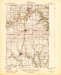 1947 Ridge Farm1947 Print · USGSEastern Illinois and the Indiana border appear here just after the war, showcasing a landscape of rail-connected towns and country school districts. Researchers can trace family history through dozens of landmarks like Scotland Sta, Vermilion Grove, and Harrison Consolidated Sch.3 unique versions available
 - 1953 Map of Indianapolis, 1965 Print
 1953 Indianapolis1965 Print · USGSCentral Indiana and the Illinois borderlands are captured in the mid-sixties, showing the growth of Indianapolis and its industrial rail corridors. Genealogists and historians can trace the development of outlying towns like Zionsville or Beech Grove and find landmarks such as Atterbury AAF and Turkey Run State Park.4 unique versions available
 - 1955 Map of Humrick, 1956 Print
 1955 Humrick1956 Print · USGSThe Illinois and Indiana borderlands come alive in the mid-fifties along the winding Vermilion River and the tracks of the Chicago and St Louis railroad. Genealogists can trace family names at Brown Cem and Patrick Cem or explore the sharp terrain of Devils Backbone.
 - 1956 Map of Indianapolis
 1956 Indianapolis1956 Print · USGSCentral Indiana in the mid-fifties is captured during a period of industrial growth and military presence. Genealogists and historians can trace the rail networks of the New York Central or locate regional landmarks like Fort Benjamin Harrison and Camp Atterbury.
 - 1957 Map of Indianapolis
 1957 Indianapolis1957 Print · USGSCentral Indiana in the mid-fifties is captured here as a crossroads of major rail lines and nascent federal highways. Genealogists and historians can trace family-named ridges like Poplar Ridge or locate strategic sites like Camp Atterbury and Speedway.2 unique versions available
 - 1962 Map of Indianapolis
 1962 Indianapolis1962 Print · USGSCentral Indiana and the Illinois borderlands are captured here in the early sixties, showing the region's dense rail networks and growing urban centers. Genealogists and historians can locate family-named landmarks and institutions like Crown Hill Cem, Indiana University, and the Indianapolis Motor Speedway.
 - 1965 Map of Humrick, 1967 Print
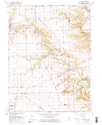 1965 Humrick1967 Print · USGSVermilion County transitions from prairie to river bluffs in the mid-1960s as rail lines converge near the state line. Researchers can trace the Old Indian Treaty Boundary and locate community sites like McKendree Ch or the Wingard Sch.2 unique versions available
 - 1966 Map of Georgetown, 1967 Print
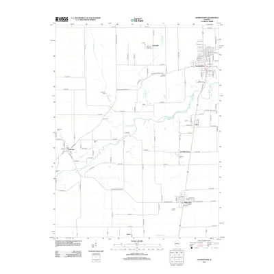
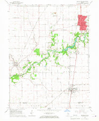 1966 Georgetown1967 Print · USGSThe Illinois and Indiana borderlands thrived in the mid-sixties as a hub of rail transit and agricultural commerce. Researchers can trace historic family burial sites like Sandusky Cem and Crown Hill Cem or locate community centers like Vermilion Grove and Bunsenville.2 unique versions available
 - 1986 Map of Paris
 1986 Paris1986 Print · USGSThe Illinois-Indiana borderlands thrive in the mid-1980s as a hub of river-side industry and fertile farmland. Genealogists and historians can trace rail-centered settlements like Chrisman and Metcalf, or locate family sites at the Quaker Cem and Bethel Ch.2 unique versions available
 - 2010 Map of Humrick, 2010 Print
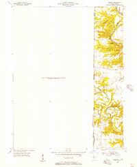
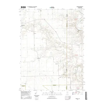
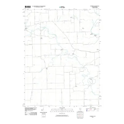 2010 Humrick2010 Print · USGSCovers Georgetown, including Humrick, Bethel, and other nearby areas
 - 2012 Map of Georgetown, 2012 Print
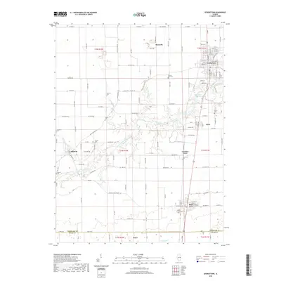
 2012 Georgetown2012 Print · USGSCovers Georgetown, including Ridge Farm, Indianola, and other nearby areas
 - 2012 Map of Humrick, 2012 Print
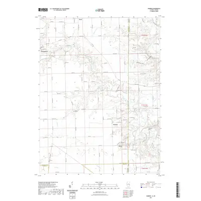
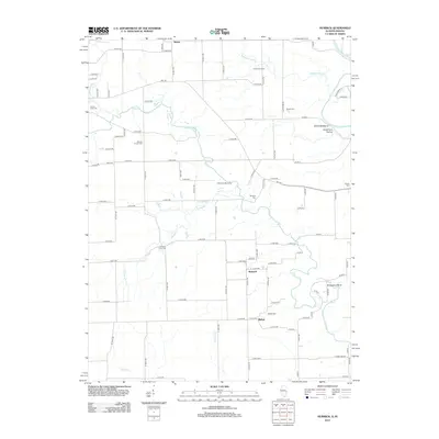 2012 Humrick2012 Print · USGSCovers Georgetown, including Humrick, Bethel, and other nearby areas
 - 2015 Map of Georgetown, 2015 Print
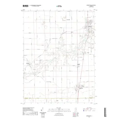
 2015 Georgetown2015 Print · USGSCovers Georgetown, including Ridge Farm, Indianola, and other nearby areas
 - 2015 Map of Humrick, 2015 Print
 2015 Humrick2015 Print · USGSCovers Georgetown, including Humrick, Bethel, and other nearby areas
 - 2018 Map of Georgetown, 2018 Print
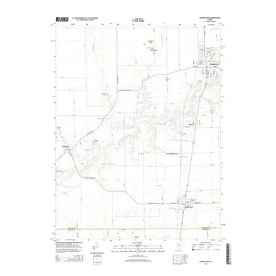
 2018 Georgetown2018 Print · USGSCovers Georgetown, including Ridge Farm, Indianola, and other nearby areas
 - 2018 Map of Humrick, 2018 Print
 2018 Humrick2018 Print · USGSCovers Georgetown, including Humrick, Bethel, and other nearby areas
 - 2021 Map of Humrick, 2021 Print
 2021 Humrick2021 Print · USGSCovers Georgetown, including Humrick, Bethel, and other nearby areas
 - 2021 Map of Georgetown, 2021 Print
 2021 Georgetown2021 Print · USGSCovers Georgetown, including Ridge Farm, Indianola, and other nearby areas
 - 2024 Map of Georgetown, 2024 Print
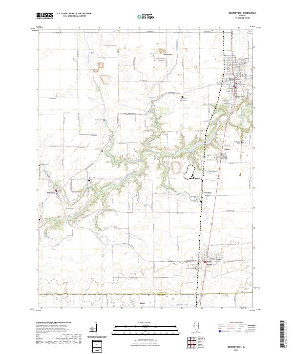 2024 Georgetown2024 Print · USGSThe eastern Illinois prairie comes alive in this 2024 survey of the Georgetown and Ridge Farm areas. Family historians can locate numerous small burial grounds like Sandusky Cem and Sharon Cem tucked among the drainages of the Little Vermilion River.
 - 2024 Map of Humrick, 2024 Print
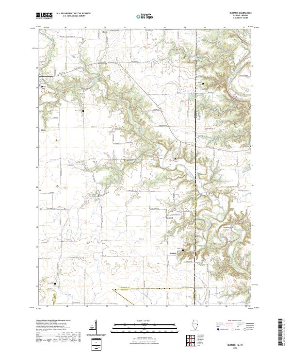 2024 Humrick2024 Print · USGSThe Illinois-Indiana borderlands south of Georgetown come into focus in this contemporary survey of the Vermilion County countryside. Genealogists and local historians can locate several rural burial grounds, including Yankee Point Cemetery, Pilot Grove Cemetery, and the riverfront Whitlock Cemetery.
End of results
Showing maps 1-20 of 20
Top cities near Georgetown
- Danville historical maps
- Westville historical maps
- Tilton historical maps
- Catlin historical maps
- Eugene historical maps
- Oakwood historical maps
See more
Frequently asked questions
- What are the different types of historical maps available for Georgetown?
- What is the oldest map of Georgetown?
- Where can I purchase historical maps of Georgetown for my home or office?
- Where can I download high-res historical maps of Georgetown?
- Are there historical topographic maps available for Georgetown?
- Is there historical aerial imagery available for Georgetown?
- Where are historical maps of Georgetown sourced from?