Old Maps of Pyramid, Illinois for Academic Research
Study the evolution of Pyramid with 11 high-resolution historic maps. Whether you're teaching, researching, or modeling changes in land use, these maps provide essential visual documentation of urban, environmental, and geographic change.
- Analyze long-term change: Track patterns in development, transportation, and natural features.
- Ideal for environmental or urban studies: Support academic projects with primary historical map data.
- Use in the classroom or lab: Educators and researchers rely on these maps to bring historical context to life.
These maps are a powerful tool for teaching, research, and visualizing how Pyramid has changed over the decades.
Pyramid, IL maps
(11)- 1943 Map of Ashley, 1967 Print
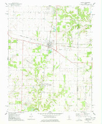
 1943 Ashley1967 Print · USGSSouthern Illinois during the early 1940s is captured here as a thriving rail and agricultural hub. Genealogists can locate specific family-linked landmarks like the Blissville Polling House, Conta Colliery, and the Odd Fellows Cem.
 - 1946 Map of Ashley
 1946 Ashley1946 Print · USGSSouthern Illinois at the end of the war was a landscape of concentrated rail corridors and rural school districts. Genealogists can trace family roots through dozens of local landmarks like St Michael Cem, Oniontown, and the Blissville Polling House.
 - 1958 Map of Belleville, 1973 Print
 1958 Belleville1973 Print · USGSSouthern Illinois during the mid-twentieth century reveals a landscape of industrial growth and massive new reservoirs. Genealogists and historians can trace the paths of the Illinois Central RR through towns like Centralia or locate landmarks such as Emerald Mound and the Looking Glass Prairie.3 unique versions available
 - 1962 Map of Belleville
 1962 Belleville1962 Print · USGSSouthern Illinois in the late fifties reveals a landscape of industrial growth and ancient landmarks before the full expansion of the interstate system. Genealogists can trace family names and rural post offices near Centralia, Salem, and the historic Monks Mound.
 - 1974 Map of Ashley, 1978 Print
 1974 Ashley1978 Print · USGSWashington and Jefferson counties are captured here in the mid-1970s, showcasing a landscape shaped by rail junctions and oil extraction. Genealogists can trace family roots through several rural sites including St Michael Cem, Liberty Cem, and Brick Cem.
 - 1985 Map of Pinckneyville
 1985 Pinckneyville1985 Print · USGSSouthern Illinois in the mid-eighties shows a landscape of prairie farms, coal extraction, and vital rail corridors. Researchers can trace the rail-side growth of Venedy Station and New Memphis Station or locate landmarks like St Libory Church and Memorial Gardens Cem.2 unique versions available
 - 2012 Map of Ashley, 2012 Print
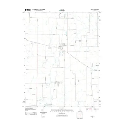 2012 Ashley2012 Print · USGSCovers Pyramid, including Ashley, Radom, and other nearby areas
 - 2015 Map of Ashley, 2015 Print
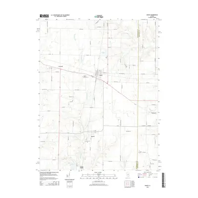 2015 Ashley2015 Print · USGSCovers Pyramid, including Ashley, Radom, and other nearby areas
 - 2018 Map of Ashley, 2018 Print
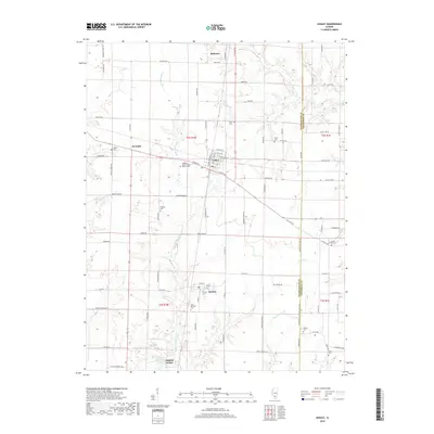 2018 Ashley2018 Print · USGSCovers Pyramid, including Ashley, Radom, and other nearby areas
 - 2021 Map of Ashley, 2021 Print
 2021 Ashley2021 Print · USGSCovers Pyramid, including Ashley, Radom, and other nearby areas
 - 2024 Map of Ashley, 2024 Print
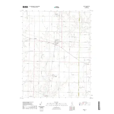
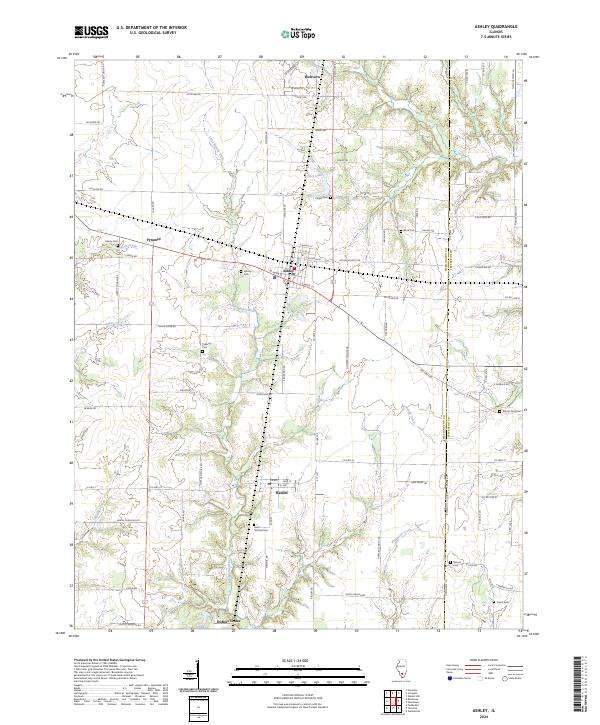 2024 Ashley2024 Print · USGSSouthern Illinois rural life centers on Ashley and Richview in this modern topographic study of the prairie landscape. Genealogists can trace family heritage through a high density of rural burial sites like Saint Michael Cem, Minson Cem, and Liberty Cem.
End of results
Showing maps 1-11 of 11
Top cities near Pyramid
- Centralia historical maps
- Pinckneyville historical maps
- Nashville historical maps
- Central City historical maps
- Tamaroa historical maps
- Irvington historical maps
See more
Frequently asked questions
- What are the different types of historical maps available for Pyramid?
- What is the oldest map of Pyramid?
- Where can I purchase historical maps of Pyramid for my home or office?
- Where can I download high-res historical maps of Pyramid?
- Are there historical topographic maps available for Pyramid?
- Is there historical aerial imagery available for Pyramid?
- Where are historical maps of Pyramid sourced from?