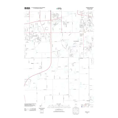
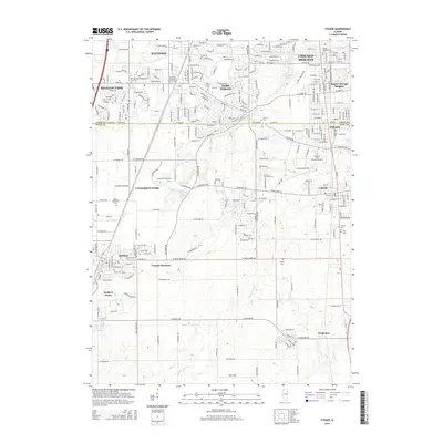
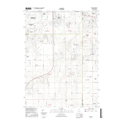
Old Maps of Crete, Illinois for Genealogy
Trace your family roots with 25 historic maps of Crete. These high-res maps reveal old neighborhoods, homesites, landmarks, and streets — helping you uncover where your ancestors lived and how the area evolved over time.
- Explore historic neighborhoods: Identify where your relatives may have lived in the 1800s or 1900s.
- Compare maps over time: Trace the changes in streets, buildings, and landmarks for multi-generational research.
- Perfect for genealogy & ancestry research: Used by family historians and researchers to map out lineage and migration.
These maps are an incredible resource for exploring your personal connection to Crete's past.
Crete, IL maps
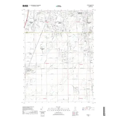
(25)- 1929 Map of Dyer, 1946 Print
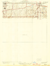 1929 Dyer1946 Print · USGSThe industrial suburbs and agricultural lands of the Illinois-Indiana border are captured here in the late 1920s. Researchers can trace the path of the Lincoln Highway and locate long-standing landmarks like the Cats Corner School or Strassburg School.
 - 1930 Map of Dyer
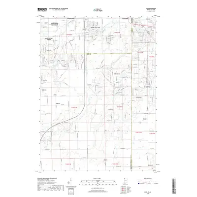
 1930 Dyer1930 Print · USGSThe Illinois-Indiana borderlands appear in the late twenties during a period of industrial and automotive growth. Genealogists and local historians can trace early schoolhouse locations like Cats Corner School and the path of the famous Lincoln Highway near Dyer.
 - 1930 Map of Steger
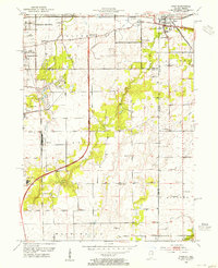
 1930 Steger1930 Print · USGSThe southern outskirts of Chicago thrived as a rail and industrial nexus in the late twenties. Genealogists and historians can trace the early footprints of South Chicago Heights and Matteson, locating landmarks like St Annes Church and the Calvary Cemetery.2 unique versions available
 - 1949 Map of Crete
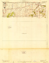
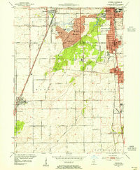
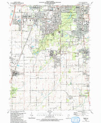
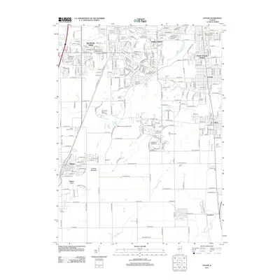
 1949 Crete1949 Print · USGSWill County and the surrounding borderlands are captured here in the late 1940s as a busy intersection of rail and road. Genealogists can locate dozens of country schools and churches like Beebe Grove Sch, St Annes Ch, and Crete Cem.
 - 1953 Map of Steger, 1955 Print
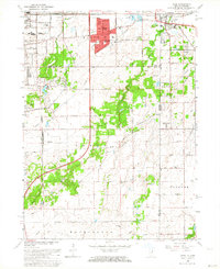
 1953 Steger1955 Print · USGSSouthern Cook and Will Counties are shown in the early fifties as new suburban developments began to reshape the prairie landscape. Genealogists can trace family roots through numerous local landmarks, including Lincoln Fields Sta, Adams Cem, and the Sauk Trail Sch.4 unique versions available
 - 1953 Map of Dyer, 1955 Print
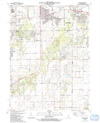
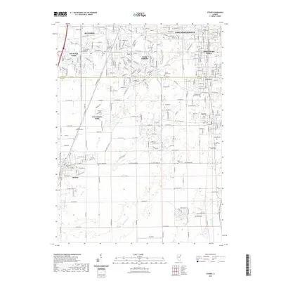
 1953 Dyer1955 Print · USGSThe Illinois-Indiana border during the early fifties reveals a landscape of growing suburbs and traditional crossroads. Researchers can trace historic family roots at Eagle Lake Cem or locate lost landmarks like Klemme Sch and Lincoln Fields.
 - 1953 Map of Chicago, 1964 Print
 1953 Chicago1964 Print · USGSThe southern Lake Michigan shoreline was rapidly modernizing in the mid-fifties, balancing heavy industry with its famous academic centers. Researchers can trace the footprints of Notre Dame University or locate vanished sites like the Kingsbury Ordnance Plant and Meigs Field.5 unique versions available
 - 1957 Map of Chicago
 1957 Chicago1957 Print · USGSThe industrial heartland and southern Great Lakes shoreline are captured here during the peak of mid-century growth. Researchers can trace the massive Gary Steel Works, the grounds of the University of Notre Dame, and the early paths of the Tri-State Tollway.
 - 1962 Map of Dyer, 1964 Print
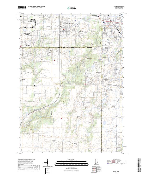
 1962 Dyer1964 Print · USGSThe Illinois-Indiana borderland comes alive in the early sixties as suburban growth from Sauk Village meets the rural crossroads of Lake County. Local historians can trace the paths of the Sauk Trail and find family-named landmarks like Katz Corner Sch and St Johns Ch.2 unique versions available
 - 1984 Map of Kankakee, 1985 Print
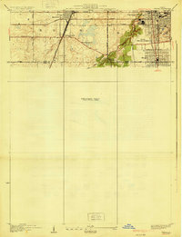
 1984 Kankakee1985 Print · USGSThe Illinois-Indiana borderlands appear here in the early eighties as a landscape of river-centered towns and vast managed wetlands. Genealogists and local historians can trace the grounds of the Kankakee State Hospital, the campus of Olivet Nazarene College, and the sprawling Beaver Lake Wildlife Refuge.
 - 1990 Map of Dyer, 1991 Print
 1990 Dyer1991 Print · USGSSuburban development meets the rural prairie at the Illinois and Indiana border in the early nineties. Researchers can trace family sites from Sauk Village to Dyer, including St James Cem and the small settlement of Kreitzburg.
 - 1990 Map of Steger, 1991 Print
 1990 Steger1991 Print · USGSThe south Chicago suburbs of Will and Cook Counties appear in full growth during the late twentieth century. Genealogists and local historians can trace family locations through sites like Evergreen Hill Cem, S Liborius Sch, and the Balmoral Park Racetrack.
 - 1991 Map of Kankakee
 1991 Kankakee1991 Print · USGSThe Illinois-Indiana borderlands come into focus during the early nineties, centered on the growing Kankakee valley and its sprawling drainage systems. Trace the rail-and-river economy through landmarks like the Wilton Railroad Grade, the Manteno State Hospital, and the historic Old Pioneer Cem.
 - 1998 Map of Dyer, 1999 Print
 1998 Dyer1999 Print · USGSThe Illinois and Indiana borderlands at the end of the century reveal a landscape where industrial rail hubs meet expanding suburban life. Genealogists and historians can trace the foundations of Sauk Village and Dyer or locate markers like Eagle Lake Cem and St James Cem.
 - 1998 Map of Steger, 2002 Print
 1998 Steger2002 Print · USGSSuburban expansion meets preserved woodlands south of Chicago in the late nineties. Trace family ties at St Pauls Cem and Adams Cem or locate local landmarks like Governors State University and Sanger Airport.
 - 2010 Map of Dyer, 2010 Print
 2010 Dyer2010 Print · USGSCovers Crete, including Chicago Heights, Sauk Village, and other nearby areas
 - 2012 Map of Steger, 2012 Print
 2012 Steger2012 Print · USGSCovers Crete, including Chicago Heights, Park Forest, and other nearby areas
 - 2013 Map of Dyer, 2013 Print
 2013 Dyer2013 Print · USGSCovers Crete, including Chicago Heights, Sauk Village, and other nearby areas
 - 2015 Map of Steger, 2015 Print
 2015 Steger2015 Print · USGSCovers Crete, including Chicago Heights, Park Forest, and other nearby areas
 - 2016 Map of Dyer, 2016 Print
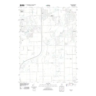
 2016 Dyer2016 Print · USGSCovers Crete, including Chicago Heights, Sauk Village, and other nearby areas
 - 2018 Map of Steger, 2018 Print
 2018 Steger2018 Print · USGSCovers Crete, including Chicago Heights, Park Forest, and other nearby areas
 - 2019 Map of Dyer, 2019 Print
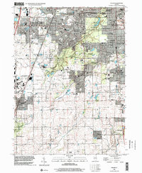
 2019 Dyer2019 Print · USGSCovers Crete, including Chicago Heights, Sauk Village, and other nearby areas
 - 2021 Map of Steger, 2021 Print
 2021 Steger2021 Print · USGSCovers Crete, including Chicago Heights, Park Forest, and other nearby areas
 - 2022 Map of Dyer, 2022 Print
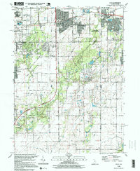
 2022 Dyer2022 Print · USGSModern Northwest Indiana and suburban Illinois converge in this 2022 survey where developing residential grids meet historic rural landmarks. Researchers can trace family sites at Saint Joseph Cem and explore the legacy of local hamlets like Kreitzburg and Faithorn.
 - 2024 Map of Steger, 2024 Print
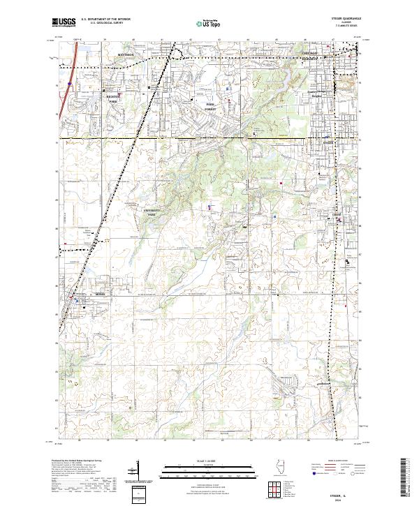 2024 Steger2024 Print · USGSThe borderlands of Cook and Will Counties are captured here in the early 2020s, showing a mix of established suburbs and developing university lands. Genealogists can trace local roots through numerous sites like Bloom Presbyterian Cem and Trinity Lutheran Cem.
End of results
Showing maps 1-25 of 25
Top cities near Crete
- Chicago historical maps
- Hammond historical maps
- Gary historical maps
- Orland Park historical maps
- Tinley Park historical maps
- Calumet City historical maps
See more
Top neighborhoods of Crete
Frequently asked questions
- What are the different types of historical maps available for Crete?
- What is the oldest map of Crete?
- Where can I purchase historical maps of Crete for my home or office?
- Where can I download high-res historical maps of Crete?
- Are there historical topographic maps available for Crete?
- Is there historical aerial imagery available for Crete?
- Where are historical maps of Crete sourced from?