Old Maps of Manhattan, Illinois for Academic Research
Study the evolution of Manhattan with 28 high-resolution historic maps. Whether you're teaching, researching, or modeling changes in land use, these maps provide essential visual documentation of urban, environmental, and geographic change.
- Analyze long-term change: Track patterns in development, transportation, and natural features.
- Ideal for environmental or urban studies: Support academic projects with primary historical map data.
- Use in the classroom or lab: Educators and researchers rely on these maps to bring historical context to life.
These maps are a powerful tool for teaching, research, and visualizing how Manhattan has changed over the decades.
Manhattan, IL maps
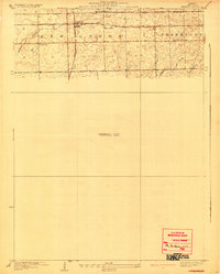
(28)- 1892 Map of Wilmington
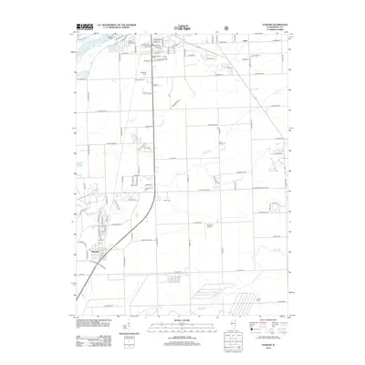
 1892 Wilmington1892 Print · USGSWill County at the end of the nineteenth century is defined by its strategic river confluences and a rapidly expanding rail network. Genealogists and local historians can trace the early footprints of Wilmington and Braidwood, or find vanished rail stops like Blodget and Drummond.3 unique versions available
 - 1918 Map of Wilmington
 1918 Wilmington1918 Print · USGSWill County in the late teens is a landscape shaped by the convergence of major rivers and several historic rail lines. Genealogists and historians can trace numerous rural schoolhouses like Red Brick School and Schweizer School alongside river towns such as Wilmington and Channahon.5 unique versions available
 - 1929 Map of Brisbane
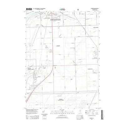
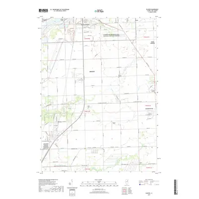
 1929 Brisbane1929 Print · USGSWill County’s rural prairie was a nexus of steam rail traffic in the late twenties, centered on the village of Brisbane. Genealogists and rail historians can trace the paths of the Michigan Central and Wabash lines alongside local landmarks like Murphy Sch.2 unique versions available
 - 1949 Map of Peotone
 1949 Peotone1949 Print · USGSWill County’s rural townships are captured in the late 1940s, a period of transition for its railroad hubs and farming communities. Genealogists can locate family-named landmarks and country schools like Fivemile Grove Sch, Pfundstein Sch, and the St Peter Cem.2 unique versions available
 - 1953 Map of Manhattan, 1955 Print
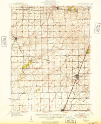
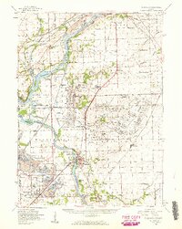
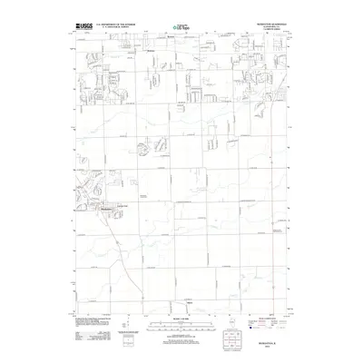
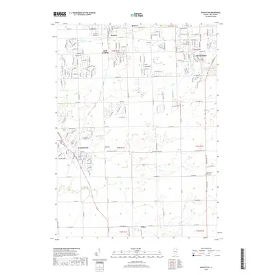
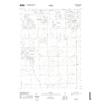
 1953 Manhattan1955 Print · USGSWill County's agricultural heartland is documented here in the early fifties, showing the busy rail junctions and prairie townships of the era. Genealogists can trace family roots at St Joseph Cem, Green Garden Ch, or the rural Reiter Sch.3 unique versions available
 - 1953 Map of Elwood, 1955 Print
 1953 Elwood1955 Print · USGSNear the village of Elwood in the early fifties, the landscape was defined by the massive expansion of the Joliet Arsenal and a heavy rail network. Local historians can trace old schoolhouse sites like Rose Hill Sch and Brown Sch alongside the Old Indian Bdy.3 unique versions available
 - 1953 Map of Chicago, 1964 Print
 1953 Chicago1964 Print · USGSThe southern Lake Michigan shoreline was rapidly modernizing in the mid-fifties, balancing heavy industry with its famous academic centers. Researchers can trace the footprints of Notre Dame University or locate vanished sites like the Kingsbury Ordnance Plant and Meigs Field.5 unique versions available
 - 1954 Map of Wilmington, 1960 Print
 1954 Wilmington1960 Print · USGSWill and Grundy counties in the mid-fifties show a landscape of industrial convergence where major railroads meet the state's storied canal systems. Researchers can trace the Old Indian Boundary or locate family sites like the Soldiers Widows Home and Willard Grove Cem.3 unique versions available
 - 1957 Map of Chicago
 1957 Chicago1957 Print · USGSThe industrial heartland and southern Great Lakes shoreline are captured here during the peak of mid-century growth. Researchers can trace the massive Gary Steel Works, the grounds of the University of Notre Dame, and the early paths of the Tri-State Tollway.
 - 1958 Map of Aurora, 1969 Print
 1958 Aurora1969 Print · USGSNorthern Illinois in the late fifties shows a landscape of powerful river industry and expanding transport corridors. Genealogists and historians can trace the development of Aurora and Joliet or locate sites like the Elwood Ordnance Plant and Starved Rock.3 unique versions available
 - 1961 Map of Aurora
 1961 Aurora1961 Print · USGSNorthern Illinois at the height of the post-war era reveals a landscape of massive industrial works and thriving river towns. Genealogists and historians can trace the paths of the Lincoln Highway or locate long-standing landmarks like the Green River Ordnance Plant and Starved Rock State Park.
 - 1984 Map of Kankakee, 1985 Print
 1984 Kankakee1985 Print · USGSThe Illinois-Indiana borderlands appear here in the early eighties as a landscape of river-centered towns and vast managed wetlands. Genealogists and local historians can trace the grounds of the Kankakee State Hospital, the campus of Olivet Nazarene College, and the sprawling Beaver Lake Wildlife Refuge.
 - 1985 Map of Ottawa
 1985 Ottawa1985 Print · USGSThe Illinois River valley in the mid-1980s shows a landscape balancing river commerce with sprawling energy and mining operations. Researchers can trace the layout of mining towns like Coal City or find family landmarks such as Oakwood Memorial Cem and Smiths Mound.
 - 1990 Map of Manhattan, 1991 Print
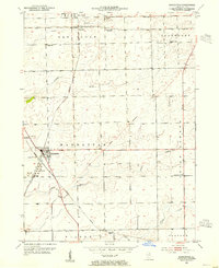
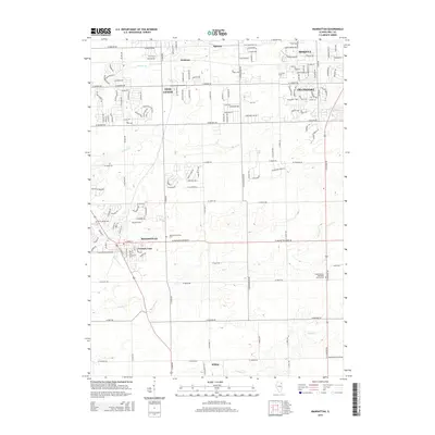
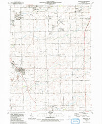 1990 Manhattan1991 Print · USGSWill County’s transition from prairie farmland to residential expansion is captured here in the late twentieth century. Researchers can trace the heritage of local parishes and school districts through landmarks like St Joseph Cem, Green Garden Ch, and the Tyler Sch.
 - 1991 Map of Ottawa
 1991 Ottawa1991 Print · USGSNorth-central Illinois in the early nineties remains a vital corridor of river commerce and heavy rail. Genealogists and historians can trace the legacy of industrial mining near Morris or explore the river-bluff geography of Starved Rock State Park and Buffalo Rock.
 - 1991 Map of Kankakee
 1991 Kankakee1991 Print · USGSThe Illinois-Indiana borderlands come into focus during the early nineties, centered on the growing Kankakee valley and its sprawling drainage systems. Trace the rail-and-river economy through landmarks like the Wilton Railroad Grade, the Manteno State Hospital, and the historic Old Pioneer Cem.
 - 1993 Map of Elwood, 1994 Print
 1993 Elwood1994 Print · USGSSouth of Joliet in the early nineties, this area showcases the heavy industrial and military infrastructure surrounding the village of Elwood. Genealogists and historians can locate Brown Cem, Oak Villa Sch, and the sprawling Joliet Ammunitions Plant.
 - 1999 Map of Elwood, 2002 Print
 1999 Elwood2002 Print · USGSPrairie restoration and military history define this area of Will County at the close of the century. Genealogists and historians can locate Brown Cem, the Abraham Lincoln National Cemetery, and the Elgin Joliet and Eastern RR.
 - 2012 Map of Manhattan, 2012 Print
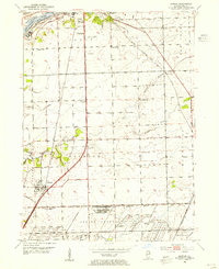
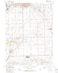
 2012 Manhattan2012 Print · USGSCovers Manhattan, including New Lenox, Frankfort, and other nearby areas
 - 2012 Map of Elwood, 2012 Print
 2012 Elwood2012 Print · USGSCovers Manhattan, including Joliet, New Lenox, and other nearby areas
 - 2015 Map of Manhattan, 2015 Print
 2015 Manhattan2015 Print · USGSCovers Manhattan, including New Lenox, Frankfort, and other nearby areas
 - 2015 Map of Elwood, 2015 Print
 2015 Elwood2015 Print · USGSCovers Manhattan, including Joliet, New Lenox, and other nearby areas
 - 2018 Map of Manhattan, 2018 Print
 2018 Manhattan2018 Print · USGSCovers Manhattan, including New Lenox, Frankfort, and other nearby areas
 - 2018 Map of Elwood, 2018 Print
 2018 Elwood2018 Print · USGSCovers Manhattan, including Joliet, New Lenox, and other nearby areas
 - 2021 Map of Manhattan, 2021 Print
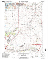
 2021 Manhattan2021 Print · USGSCovers Manhattan, including New Lenox, Frankfort, and other nearby areas
Showing maps 1-25 of 28
Top cities near Manhattan
- Chicago historical maps
- Joliet historical maps
- Bolingbrook historical maps
- Orland Park historical maps
- Tinley Park historical maps
- Plainfield historical maps
See more
Frequently asked questions
- What are the different types of historical maps available for Manhattan?
- What is the oldest map of Manhattan?
- Where can I purchase historical maps of Manhattan for my home or office?
- Where can I download high-res historical maps of Manhattan?
- Are there historical topographic maps available for Manhattan?
- Is there historical aerial imagery available for Manhattan?
- Where are historical maps of Manhattan sourced from?