Old Maps of Wilmington, Illinois
Explore 31 old maps of Wilmington, spanning from 1892 to today. These high-resolution historic maps reveal how streets, neighborhoods, landmarks, and natural features evolved over time — perfect for genealogy, metal detecting, research, and local history exploration.
What you can do with these maps:
- See how Wilmington changed over time: Compare historical maps to modern-day views to trace roads, homesites, rail lines & more.
- View detailed metadata: Each map includes creators, publishers, year, scale, and archive source.
- Overlay maps with satellite & LiDAR: Visualize the past alongside modern tools to explore terrain & human change.
- Trusted historical sources: Maps sourced from the USGS, Library of Congress, and other archives.
- Access maps your way: View online, download high-res files, or order prints for personal or research use.
Start exploring old maps of Wilmington to uncover forgotten places, hidden landmarks, and the deep history beneath your feet.
Wilmington, IL maps
(31)- 1892 Map of Wilmington
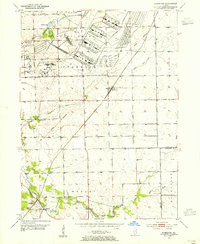
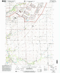
 1892 Wilmington1892 Print · USGSWill County at the end of the nineteenth century is defined by its strategic river confluences and a rapidly expanding rail network. Genealogists and local historians can trace the early footprints of Wilmington and Braidwood, or find vanished rail stops like Blodget and Drummond.3 unique versions available
 - 1918 Map of Wilmington
 1918 Wilmington1918 Print · USGSWill County in the late teens is a landscape shaped by the convergence of major rivers and several historic rail lines. Genealogists and historians can trace numerous rural schoolhouses like Red Brick School and Schweizer School alongside river towns such as Wilmington and Channahon.5 unique versions available
 - 1953 Map of Symerton, 1955 Print
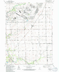
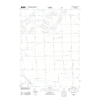
 1953 Symerton1955 Print · USGSWill County’s rural townships meet the massive industrial presence of the Joliet Arsenal in the early fifties. Local historians can trace the Old Indian Boundary and find lost landmarks like Oak Grove Sch and Ritchie Sta.2 unique versions available
 - 1954 Map of Wilmington, 1955 Print
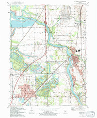
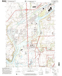
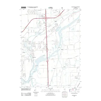
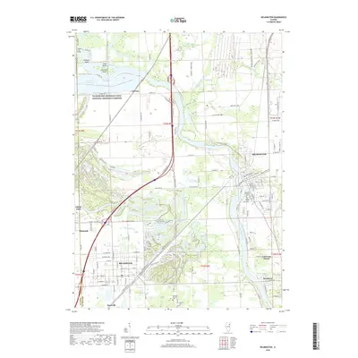
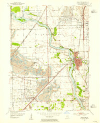 1954 Wilmington1955 Print · USGSWill County’s river-driven industry and coal mining heritage are captured here in the mid-fifties as the landscape transitioned between wilderness and extraction. Genealogists can locate family names at Mt Olive Cem or trace the early community footprints of Wilmington, Braidwood, and Lorenzo.4 unique versions available
 - 1954 Map of Channahon, 1955 Print
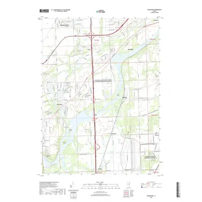
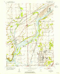 1954 Channahon1955 Print · USGSWill County at mid-century reveals a landscape shaped by major river junctions and the legacy of the canal era. Researchers can trace historical property lines and infrastructure through Channahon, finding detail on landmarks like Willard Grove Cem, Smith Bridge, and the Schweizer Sch.4 unique versions available
 - 1954 Map of Wilmington, 1960 Print
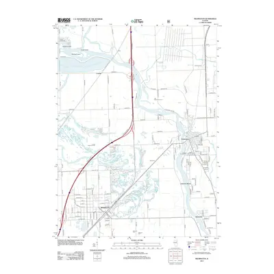
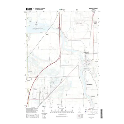
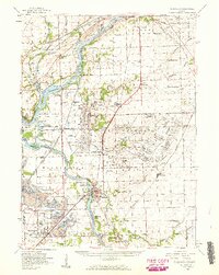 1954 Wilmington1960 Print · USGSWill and Grundy counties in the mid-fifties show a landscape of industrial convergence where major railroads meet the state's storied canal systems. Researchers can trace the Old Indian Boundary or locate family sites like the Soldiers Widows Home and Willard Grove Cem.3 unique versions available
 - 1958 Map of Aurora, 1969 Print
 1958 Aurora1969 Print · USGSNorthern Illinois in the late fifties shows a landscape of powerful river industry and expanding transport corridors. Genealogists and historians can trace the development of Aurora and Joliet or locate sites like the Elwood Ordnance Plant and Starved Rock.3 unique versions available
 - 1961 Map of Aurora
 1961 Aurora1961 Print · USGSNorthern Illinois at the height of the post-war era reveals a landscape of massive industrial works and thriving river towns. Genealogists and historians can trace the paths of the Lincoln Highway or locate long-standing landmarks like the Green River Ordnance Plant and Starved Rock State Park.
 - 1985 Map of Ottawa
 1985 Ottawa1985 Print · USGSThe Illinois River valley in the mid-1980s shows a landscape balancing river commerce with sprawling energy and mining operations. Researchers can trace the layout of mining towns like Coal City or find family landmarks such as Oakwood Memorial Cem and Smiths Mound.
 - 1991 Map of Ottawa
 1991 Ottawa1991 Print · USGSNorth-central Illinois in the early nineties remains a vital corridor of river commerce and heavy rail. Genealogists and historians can trace the legacy of industrial mining near Morris or explore the river-bluff geography of Starved Rock State Park and Buffalo Rock.
 - 1993 Map of Wilmington, 1994 Print
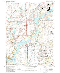
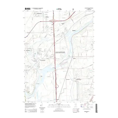
 1993 Wilmington1994 Print · USGSThe Kankakee River valley in the early nineties shows a landscape defined by industrial legacy and conservation efforts. Researchers can locate family landmarks like Mt Olive Cem and trace the rail sidings at Hitts Siding and Webster Siding.
 - 1993 Map of Symerton, 1994 Print
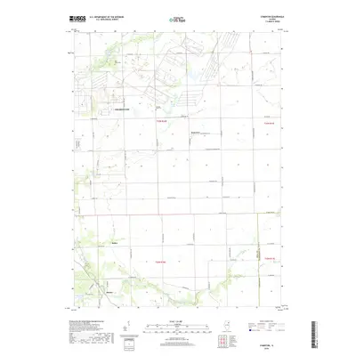
 1993 Symerton1994 Print · USGSWill County agriculture meets military history in the early nineties as the vast Joliet Ammunitions Plant borders rural township life. Trace family roots and vanished rail lines near Symerton, Ritchie, and the Star Grove Cem.
 - 1993 Map of Channahon, 1994 Print
 1993 Channahon1994 Print · USGSThe industrial and natural landscapes of Channahon and Minooka meet in the 1990s at the river forks. Genealogists and historians can trace family-named sites like Troutman Grove Cem alongside the sprawling Joliet Ammunitions Plant.
 - 1999 Map of Wilmington, 2002 Print
 1999 Wilmington2002 Print · USGSWill County's river valleys and prairie lands are captured here just before the new millennium, showing the transition from industrial and military use to public conservation. Trace local genealogy and infrastructure at Braidwood, Lakewood Shores, and the Mt Olive Cem.
 - 1999 Map of Symerton, 2002 Print
 1999 Symerton2002 Print · USGSSymerton and the surrounding prairie lands of Will County are captured at the end of the century during a significant shift from military to conservation use. Genealogists can locate family sites at Chicago Road Cem or trace the old rail lines through Ritchie Sta and Symerton.
 - 1999 Map of Channahon, 2002 Print
 1999 Channahon2002 Print · USGSChannahon and Minooka sit at a major river confluence at the close of the twentieth century. Trace the industrial and military landscape from the Joliet Training Area to the Abraham Lincoln National Cemetery.
 - 2012 Map of Symerton, 2012 Print
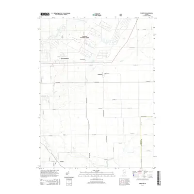
 2012 Symerton2012 Print · USGSCovers Wilmington, including Symerton, Ballou, and other nearby areas
 - 2012 Map of Wilmington, 2012 Print
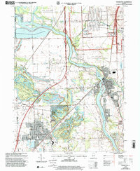
 2012 Wilmington2012 Print · USGSCovers Wilmington, including Braidwood, Braceville, and other nearby areas
 - 2012 Map of Channahon, 2012 Print
 2012 Channahon2012 Print · USGSCovers Wilmington, including Joliet, Channahon, and other nearby areas
 - 2015 Map of Wilmington, 2015 Print
 2015 Wilmington2015 Print · USGSCovers Wilmington, including Braidwood, Braceville, and other nearby areas
 - 2015 Map of Symerton, 2015 Print
 2015 Symerton2015 Print · USGSCovers Wilmington, including Symerton, Ballou, and other nearby areas
 - 2015 Map of Channahon, 2015 Print
 2015 Channahon2015 Print · USGSCovers Wilmington, including Joliet, Channahon, and other nearby areas
 - 2018 Map of Wilmington, 2018 Print
 2018 Wilmington2018 Print · USGSCovers Wilmington, including Braidwood, Braceville, and other nearby areas
 - 2018 Map of Symerton, 2018 Print
 2018 Symerton2018 Print · USGSCovers Wilmington, including Symerton, Ballou, and other nearby areas
 - 2018 Map of Channahon, 2018 Print
 2018 Channahon2018 Print · USGSCovers Wilmington, including Joliet, Channahon, and other nearby areas
Showing maps 1-25 of 31
Top cities near Wilmington
- Joliet historical maps
- New Lenox historical maps
- Homer Glen historical maps
- Crest Hill historical maps
- Channahon historical maps
- Shorewood historical maps
See more
Frequently asked questions
- What are the different types of historical maps available for Wilmington?
- What is the oldest map of Wilmington?
- Where can I purchase historical maps of Wilmington for my home or office?
- Where can I download high-res historical maps of Wilmington?
- Are there historical topographic maps available for Wilmington?
- Is there historical aerial imagery available for Wilmington?
- Where are historical maps of Wilmington sourced from?