Old Maps of Braceville, Illinois
Explore 31 old maps of Braceville, spanning from 1892 to today. These high-resolution historic maps reveal how streets, neighborhoods, landmarks, and natural features evolved over time — perfect for genealogy, metal detecting, research, and local history exploration.
What you can do with these maps:
- See how Braceville changed over time: Compare historical maps to modern-day views to trace roads, homesites, rail lines & more.
- View detailed metadata: Each map includes creators, publishers, year, scale, and archive source.
- Overlay maps with satellite & LiDAR: Visualize the past alongside modern tools to explore terrain & human change.
- Trusted historical sources: Maps sourced from the USGS, Library of Congress, and other archives.
- Access maps your way: View online, download high-res files, or order prints for personal or research use.
Start exploring old maps of Braceville to uncover forgotten places, hidden landmarks, and the deep history beneath your feet.
Braceville, IL maps
(31)- 1892 Map of Wilmington
 1892 Wilmington1892 Print · USGSWill County at the end of the nineteenth century is defined by its strategic river confluences and a rapidly expanding rail network. Genealogists and local historians can trace the early footprints of Wilmington and Braidwood, or find vanished rail stops like Blodget and Drummond.3 unique versions available
 - 1918 Map of Wilmington
 1918 Wilmington1918 Print · USGSWill County in the late teens is a landscape shaped by the convergence of major rivers and several historic rail lines. Genealogists and historians can trace numerous rural schoolhouses like Red Brick School and Schweizer School alongside river towns such as Wilmington and Channahon.5 unique versions available
 - 1923 Map of Herscher, 1959 Print
 1923 Herscher1959 Print · USGSKankakee and Will Counties in the early twenties show a landscape defined by busy rail junctions and a dense network of rural school districts. Genealogists and researchers can locate family-named landmarks and infrastructure like the Lehigh Stone Co Quarry, Appel Siding, and Essex Center School.2 unique versions available
 - 1925 Map of Herscher
 1925 Herscher1925 Print · USGSKankakee and Grundy counties appear here during the 1920s as a thriving corridor of railroads and rural schools. Genealogists can trace family names through landmarks like Yates School, Clarke City, and the Lehigh Stone Co Quarry.2 unique versions available
 - 1948 Map of Dwight, 1965 Print
 1948 Dwight1965 Print · USGSLivingston and Grundy counties appear here just after the war, showing a region of dense rural settlements and early coal mining activity. Genealogists can locate family names via numerous country schools like Goodfarm Sch and landmarks such as the State Reformatory for Women.
 - 1950 Map of Dwight
 1950 Dwight1950 Print · USGSNortheastern Illinois at mid-century shows a landscape shaped by coal mining and a dense network of rural school districts. Genealogists can trace family footprints through dozens of local landmarks like Round Grove Cemetery, Goodfarm School, and the State Reformatory for Women.2 unique versions available
 - 1954 Map of Wilmington, 1955 Print
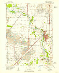 1954 Wilmington1955 Print · USGSWill County’s river-driven industry and coal mining heritage are captured here in the mid-fifties as the landscape transitioned between wilderness and extraction. Genealogists can locate family names at Mt Olive Cem or trace the early community footprints of Wilmington, Braidwood, and Lorenzo.4 unique versions available
 - 1954 Map of Wilmington, 1960 Print
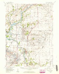 1954 Wilmington1960 Print · USGSWill and Grundy counties in the mid-fifties show a landscape of industrial convergence where major railroads meet the state's storied canal systems. Researchers can trace the Old Indian Boundary or locate family sites like the Soldiers Widows Home and Willard Grove Cem.3 unique versions available
 - 1958 Map of Aurora, 1969 Print
 1958 Aurora1969 Print · USGSNorthern Illinois in the late fifties shows a landscape of powerful river industry and expanding transport corridors. Genealogists and historians can trace the development of Aurora and Joliet or locate sites like the Elwood Ordnance Plant and Starved Rock.3 unique versions available
 - 1961 Map of Aurora
 1961 Aurora1961 Print · USGSNorthern Illinois at the height of the post-war era reveals a landscape of massive industrial works and thriving river towns. Genealogists and historians can trace the paths of the Lincoln Highway or locate long-standing landmarks like the Green River Ordnance Plant and Starved Rock State Park.
 - 1973 Map of Essex, 1975 Print
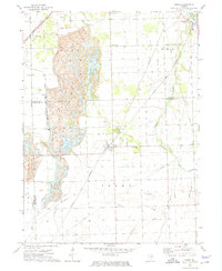 1973 Essex1975 Print · USGSIn the early 1970s, the landscape around the Grundy and Kankakee county line was shaped by heavy industry and rail. Genealogists and historians can trace the local cemetery sites and industrial hubs like Strip Mine, Clarke City, and Custer Park.3 unique versions available
 - 1983 Map of Gardner
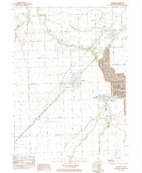 1983 Gardner1983 Print · USGSThe Illinois coal fields of Grundy County are seen here in the early eighties, where industrial mining and prairie farming meet. Researchers can trace the sprawling Mine Dumps near South Wilmington or find family landmarks like Cotton Cem.
 - 1985 Map of Ottawa
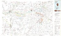 1985 Ottawa1985 Print · USGSThe Illinois River valley in the mid-1980s shows a landscape balancing river commerce with sprawling energy and mining operations. Researchers can trace the layout of mining towns like Coal City or find family landmarks such as Oakwood Memorial Cem and Smiths Mound.
 - 1991 Map of Ottawa
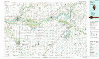 1991 Ottawa1991 Print · USGSNorth-central Illinois in the early nineties remains a vital corridor of river commerce and heavy rail. Genealogists and historians can trace the legacy of industrial mining near Morris or explore the river-bluff geography of Starved Rock State Park and Buffalo Rock.
 - 1993 Map of Wilmington, 1994 Print
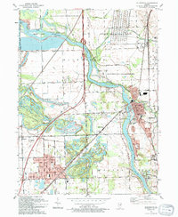 1993 Wilmington1994 Print · USGSThe Kankakee River valley in the early nineties shows a landscape defined by industrial legacy and conservation efforts. Researchers can locate family landmarks like Mt Olive Cem and trace the rail sidings at Hitts Siding and Webster Siding.
 - 1999 Map of Wilmington, 2002 Print
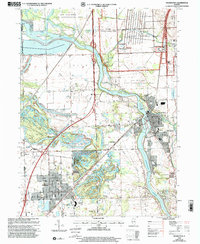 1999 Wilmington2002 Print · USGSWill County's river valleys and prairie lands are captured here just before the new millennium, showing the transition from industrial and military use to public conservation. Trace local genealogy and infrastructure at Braidwood, Lakewood Shores, and the Mt Olive Cem.
 - 2012 Map of Gardner, 2012 Print
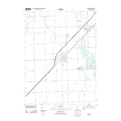 2012 Gardner2012 Print · USGSGrundy County prairie and the Mazon River watershed are documented here during the early twenty-first century. Researchers can trace local lineage at Cotton Cem and explore the historic layout of Braceville, South Wilmington, and Mazonia.
 - 2012 Map of Essex, 2012 Print
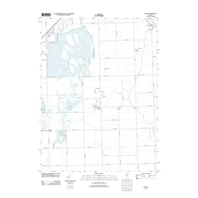 2012 Essex2012 Print · USGSWill County and Kankakee County crossroads are shown here in the early twenty-first century, just as the regional energy and agricultural landscape matured. Researchers can locate family plots at Mount Olivet Cem or trace the early foundations of Essex and Custer Park along the Kankakee River.
 - 2012 Map of Wilmington, 2012 Print
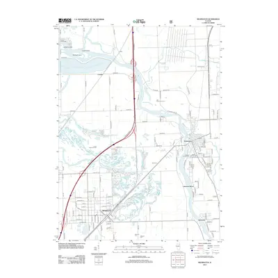 2012 Wilmington2012 Print · USGSIn the early twenty-first century, the river towns of Wilmington and Braidwood show a landscape shaped by coal mining and military history. Researchers can trace family sites at Bohemian Cem and explore industrial heritage along the river and Joliet Arsenal.
 - 2015 Map of Wilmington, 2015 Print
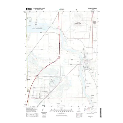 2015 Wilmington2015 Print · USGSBraidwood and Wilmington are shown here in the mid-2010s, nestled between the Kankakee River and the expansive Midewin National Forest. Researchers can trace old family roots at Bohemian National Cem or explore the reclaimed landscape of Tully Lake and the Illinois and Michigan Canal.
 - 2015 Map of Gardner, 2015 Print
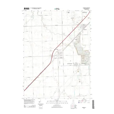 2015 Gardner2015 Print · USGSGrundy County settlements and prairie waterways are documented here during the mid-2010s. Researchers can trace local lineages near Cotton Cem or follow the paths of the Mazon River and Granary Creek through Gardner and Braceville.
 - 2015 Map of Essex, 2015 Print
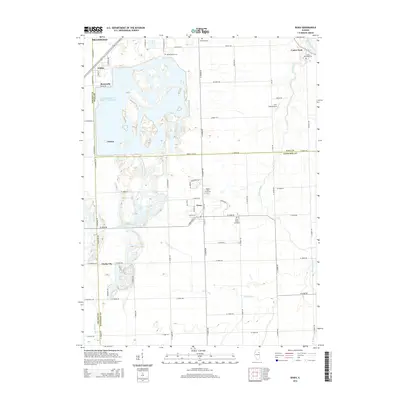 2015 Essex2015 Print · USGSThe Illinois prairie south of Braidwood appears here in the mid-2010s, showing a landscape defined by industrial power infrastructure and rural settlements. Researchers can locate legacy burial grounds like Mount Olivet Cem or trace the early paths of Clarke City and Torino.
 - 2018 Map of Wilmington, 2018 Print
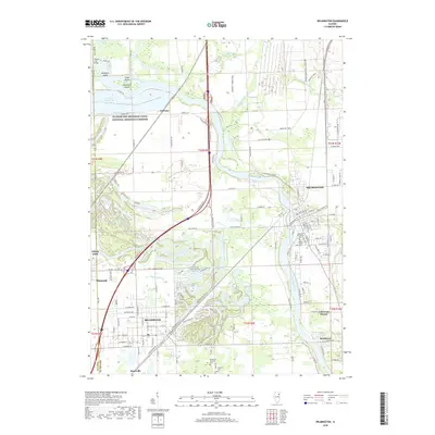 2018 Wilmington2018 Print · USGSBraidwood and Wilmington are featured here during a period of modern development along the Kankakee River. Researchers can trace local lineage at Oakwood Protestant Cem or explore the historic route of the Illinois and Michigan Canal.
 - 2018 Map of Gardner, 2018 Print
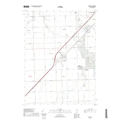 2018 Gardner2018 Print · USGSGrundy County's prairie and mining heritage are on display in the late 2010s as traditional towns meet modern infrastructure. Trace family ties and local history across Gardner, South Wilmington, and Braceville, or locate the Cotton Cem near the river forks.
 - 2018 Map of Essex, 2018 Print
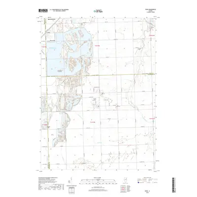 2018 Essex2018 Print · USGSBraidwood and the surrounding prairie towns are shown at a time of significant industrial utility in the late 2010s. Researchers can trace local history through sites like Clarke City, Mount Olivet Cem, and the massive Braidwood Power Plant Cooling Pond.
Showing maps 1-25 of 31
Top cities near Braceville
- Joliet historical maps
- Channahon historical maps
- Morris historical maps
- Minooka historical maps
- Aux Sable historical maps
- Braidwood historical maps
See more
Frequently asked questions
- What are the different types of historical maps available for Braceville?
- What is the oldest map of Braceville?
- Where can I purchase historical maps of Braceville for my home or office?
- Where can I download high-res historical maps of Braceville?
- Are there historical topographic maps available for Braceville?
- Is there historical aerial imagery available for Braceville?
- Where are historical maps of Braceville sourced from?